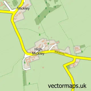
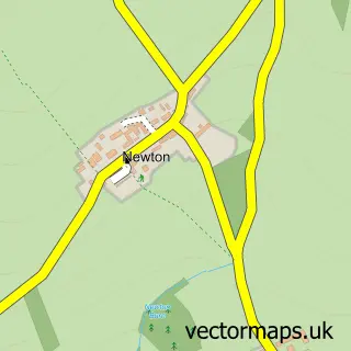
This Mickley street map is a detailed vector street map covering a 750m x 750m area. Select a larger area to create and download your own vector street map of Mickley.
The 750-metre map sample for Mickley covers 119 mapped buildings and approximately 7.2 km of road detail, of which 7 named roads are named. The immediate area includes 1 school, 4 GP surgeries within 2 miles and 1 MOT station, with 6 within 2 miles. The wider area around Mickley features 2 tourism points of interest and 1 food and drink venue. To create a larger or custom map of Mickley, the map builder lets you define your own coverage area and download editable SVG, PDF and PNG files.
Create a larger editable map of Mickley
Choose any area you need and generate a high-quality vector map instantly. Perfect for print, planning, design, business and personal use.

This Mickley street map in Northumberland is available as downloadable SVG, PDF and PNG map files, or as a printed map for planning, business, display, education, local information and design work. You can also create a larger custom map area using the map selector.
What this Mickley map sample shows
Mickley lies within Prudhoe Cp parish, part of Stocksfield And Broomhaugh ward in the Northumberland local authority area. The postcode geography for this area includes the NE postcode area, the NE43 postcode district and the NE43 7 postcode sector. Residents fall under the Nhs North East And North Cumbria Integrated Care Board for NHS services.
Local features near Mickley
Within 2 milesAmenities and services in and around Mickley.
Administrative and postcode information for Mickley
Mickley lies within Prudhoe Cp parish, part of Stocksfield And Broomhaugh ward in the Northumberland local authority area. The postcode geography for this area includes the NE postcode area, the NE43 postcode district and the NE43 7 postcode sector. Residents fall under the Nhs North East And North Cumbria Integrated Care Board for NHS services.
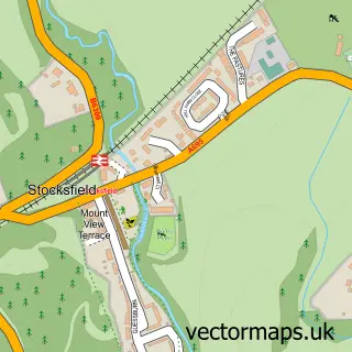
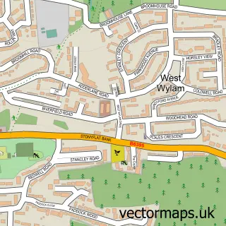
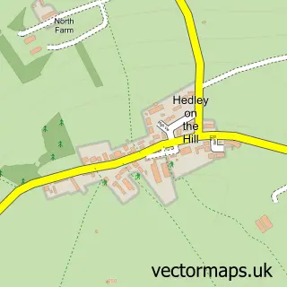
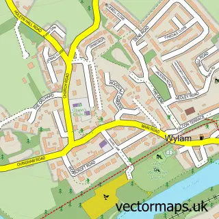
Nearby street map samples around Mickley

More street maps in Northumberland
750 metre map area coverage
Boundary, postcode and point of interest information for the 750m x 750m rectangle centred on this sample map.
Boundaries containing map centre
Constituency: Hexham Co Const
District: Northumberland
Icb: NHS North East and North Cumbria ICB
Parish: Prudhoe CP
Police Force: northumberland
Postcode District: NE43
Postcode Sector: NE43 7
Nearby boundaries intersecting sample
No additional intersecting boundaries found.
Postcode coverage
POI category counts
Aquarium: 2
Automotive Repair: 2
Gardener: 2
Hair Salon: 2
Professional Services: 2
Art Gallery: 1
Attractions And Activities: 1
Bar: 1
British Restaurant: 1
Clothing Store: 1
Sample points of interest
- Garden & Landscape Solutions
- Tyne Valley Aquatics
- Yvyb Artist and Illustrator
- Cherryburn
- All Terrain 4x4 Specialists
- Mickley Garage
- The Glenside
- Rafters
- The Little Black Dress Agency
- Community Buddies
- Mickley First School
- Northumberland Stoves
Create a larger editable map of Mickley
This sample shows only a 750 metre area. To create a larger map of Mickley, use our map builder to choose your own coverage area, add titles and download editable SVG, PDF and PNG files.
Create a custom map of Mickley