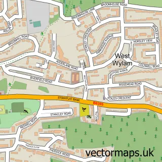
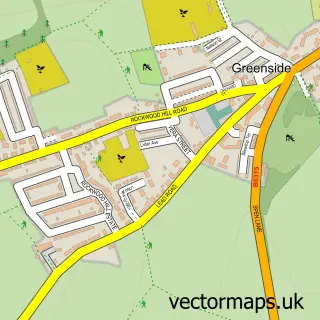
This Prudhoe street map is a detailed vector street map covering a 750m x 750m area. Select a larger area to create and download your own vector street map of Prudhoe.
The 750-metre map sample for Prudhoe covers 505 mapped buildings and approximately 26.3 km of road detail, of which 53 named roads are named. The immediate area includes 1 school, 3 GP surgeries, 5 pubs and 5 MOT stations within 2 miles. The wider area around Prudhoe features 2 tourism points of interest and 11 food and drink venues. To create a larger or custom map of Prudhoe, the map builder lets you define your own coverage area and download editable SVG, PDF and PNG files.
Create a larger editable map of Prudhoe
Choose any area you need and generate a high-quality vector map instantly. Perfect for print, planning, design, business and personal use.

This Prudhoe street map in Northumberland is available as downloadable SVG, PDF and PNG map files, or as a printed map for planning, business, display, education, local information and design work. You can also create a larger custom map area using the map selector.
What this Prudhoe map sample shows
Prudhoe lies within Prudhoe Cp parish, part of Prudhoe South ward in the Northumberland local authority area. The postcode geography for this area includes the NE postcode area, the NE42 postcode district and the NE42 5 postcode sector. Residents fall under the Nhs North East And North Cumbria Integrated Care Board for NHS services.
Local features near Prudhoe
Within 2 milesAmenities and services in and around Prudhoe.
Administrative and postcode information for Prudhoe
Prudhoe lies within Prudhoe Cp parish, part of Prudhoe South ward in the Northumberland local authority area. The postcode geography for this area includes the NE postcode area, the NE42 postcode district and the NE42 5 postcode sector. Residents fall under the Nhs North East And North Cumbria Integrated Care Board for NHS services.
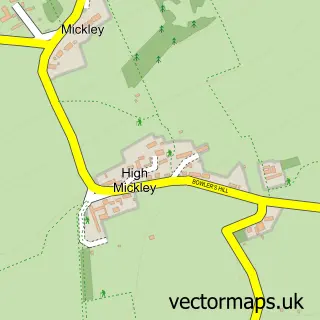
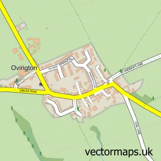
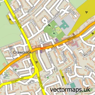
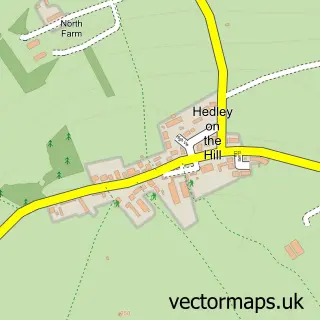
Nearby street map samples around Prudhoe

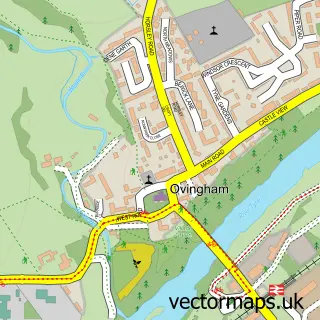
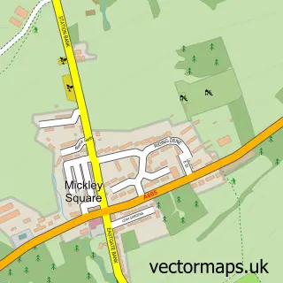
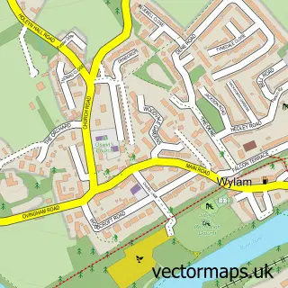
More street maps in Northumberland
750 metre map area coverage
Boundary, postcode and point of interest information for the 750m x 750m rectangle centred on this sample map.
Boundaries containing map centre
Constituency: Hexham Co Const
District: Northumberland
Icb: NHS North East and North Cumbria ICB
Parish: Prudhoe CP
Police Force: northumberland
Postcode District: NE42
Postcode Sector: NE42 5
Nearby boundaries intersecting sample
Postcode Sector: NE42 6
Postcode coverage
POI category counts
Beauty Salon: 10
Doctor: 7
Real Estate Agent: 7
Pub: 5
Barber: 4
Cafe: 4
Hair Salon: 4
Social Service Organizations: 4
Tattoo And Piercing: 4
Beauty And Spa: 3
Sample points of interest
- Fieldings
- Heritage Accountancy
- Dolphin Public Health Limited
- St Mary Magdalene Church
- RSPCA
- The Attic
- G & S Electricals
- Ready Steady Knit
- Asda (C) Prudhoe - Front Street PFS
- The Cooperative Food Prudhoe (SWAP)
- Agents Property Auction
- The Agents Property Auction
Create a larger editable map of Prudhoe
This sample shows only a 750 metre area. To create a larger map of Prudhoe, use our map builder to choose your own coverage area, add titles and download editable SVG, PDF and PNG files.
Create a custom map of Prudhoe