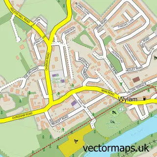
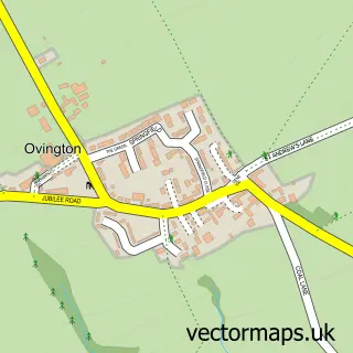
This West Wylam street map is a detailed vector street map covering a 750m x 750m area. Select a larger area to create and download your own vector street map of West Wylam.
The 750-metre map sample for West Wylam covers 362 mapped buildings and approximately 18.3 km of road detail, of which 33 named roads are named. The immediate area includes 1 school, 3 GP surgeries within 2 miles and 5 MOT stations within 2 miles. To create a larger or custom map of West Wylam, the map builder lets you define your own coverage area and download editable SVG, PDF and PNG files.
Create a larger editable map of West Wylam
Choose any area you need and generate a high-quality vector map instantly. Perfect for print, planning, design, business and personal use.

This West Wylam street map in Northumberland is available as downloadable SVG, PDF and PNG map files, or as a printed map for planning, business, display, education, local information and design work. You can also create a larger custom map area using the map selector.
What this West Wylam map sample shows
West Wylam lies within Prudhoe Cp parish, part of Prudhoe South ward in the Northumberland local authority area. The postcode geography for this area includes the NE postcode area, the NE42 postcode district and the NE42 5 postcode sector. Residents fall under the Nhs North East And North Cumbria Integrated Care Board for NHS services.
Local features near West Wylam
Within 2 milesAmenities and services in and around West Wylam.
Administrative and postcode information for West Wylam
The local authority covering West Wylam is Northumberland, within the county of Northumberland. The settlement lies within Prudhoe South ward and Prudhoe Cp civil parish. The NE42 postcode district and NE42 5 postcode sector serve the immediate area. NHS provision in the area is delivered through Northumbria Healthcare Nhs Foundation Trust.
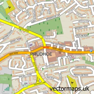
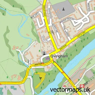
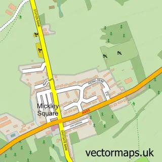
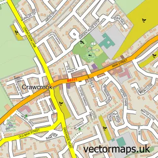
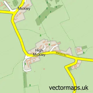
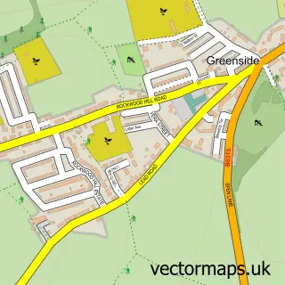
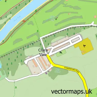
Nearby street map samples around West Wylam

More street maps in Northumberland
750 metre map area coverage
Boundary, postcode and point of interest information for the 750m x 750m rectangle centred on this sample map.
Boundaries containing map centre
Constituency: Hexham Co Const
District: Northumberland
Icb: NHS North East and North Cumbria ICB
Parish: Prudhoe CP
Police Force: northumberland
Postcode District: NE42
Postcode Sector: NE42 5
Nearby boundaries intersecting sample
No additional intersecting boundaries found.
Postcode coverage
POI category counts
Beauty Salon: 2
Building Supply Store: 2
Post Office: 2
Preschool: 2
Atms: 1
Beauty And Spa: 1
Carpenter: 1
Child Care And Day Care: 1
Convenience Store: 1
Countertop Installation: 1
Sample points of interest
- PayPoint
- Beautiful Nails at Home
- Aesthetic & Beauty Clinic
- The Scissor House
- Lenlee Joinery & Building Solutions
- Your Plumbing
- Contract Fencing Services
- Prudhoe Children's Centre
- Nisa Local
- Creative Cabinetry
- Diandjims at Prudhoe
- Prudhoe Eastwood Middle School
Create a larger editable map of West Wylam
This sample shows only a 750 metre area. To create a larger map of West Wylam, use our map builder to choose your own coverage area, add titles and download editable SVG, PDF and PNG files.
Create a custom map of West Wylam