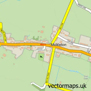
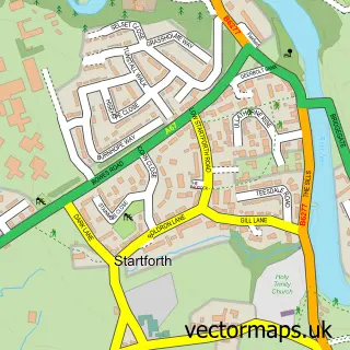
This Middleton in Teesdale street map is a detailed vector street map covering a 750m x 750m area. Select a larger area to create and download your own vector street map of Middleton in Teesdale.
The 750-metre map sample for Middleton in Teesdale covers 182 mapped buildings and approximately 8.2 km of road detail, of which 21 named roads are named. The immediate area includes 1 GP surgery and 1 MOT station, with 2 within 2 miles. The wider area around Middleton in Teesdale features 6 food and drink venues, 3 hotels and 2 campsites within 2 miles. To create a larger or custom map of Middleton in Teesdale, the map builder lets you define your own coverage area and download editable SVG, PDF and PNG files.
Create a larger editable map of Middleton in Teesdale
Choose any area you need and generate a high-quality vector map instantly. Perfect for print, planning, design, business and personal use.

This Middleton in Teesdale street map in Durham is available as downloadable SVG, PDF and PNG map files, or as a printed map for planning, business, display, education, local information and design work. You can also create a larger custom map area using the map selector.
What this Middleton in Teesdale map sample shows
Middleton in Teesdale lies within Middleton In Teesdale Cp parish, part of Barnard Castle West ward in the County Durham local authority area. The postcode geography for this area includes the DL postcode area, the DL12 postcode district and the DL12 0 postcode sector. Residents fall under the Nhs North East And North Cumbria Integrated Care Board for NHS services.
Local features near Middleton in Teesdale
Within 2 milesAmenities and services in and around Middleton in Teesdale.
Administrative and postcode information for Middleton in Teesdale
Middleton in Teesdale lies within Middleton In Teesdale Cp parish, part of Barnard Castle West ward in the County Durham local authority area. The postcode geography for this area includes the DL postcode area, the DL12 postcode district and the DL12 0 postcode sector. Residents fall under the Nhs North East And North Cumbria Integrated Care Board for NHS services.
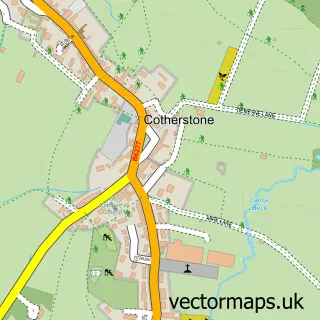
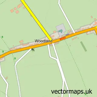
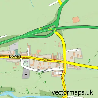
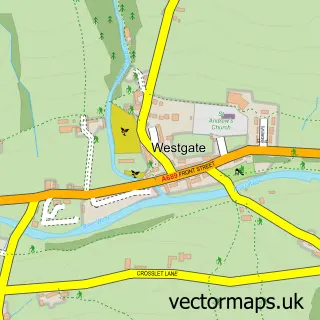
Nearby street map samples around Middleton in Teesdale

More street maps in Durham
750 metre map area coverage
Boundary, postcode and point of interest information for the 750m x 750m rectangle centred on this sample map.
Boundaries containing map centre
Constituency: Bishop Auckland Co Const
District: County Durham
Icb: NHS North East and North Cumbria ICB
Parish: Middleton in Teesdale CP
Police Force: durham
Postcode District: DL12
Postcode Sector: DL12 0
Nearby boundaries intersecting sample
Parish: Holwick CP
Postcode coverage
POI category counts
Bed And Breakfast: 5
Cafe: 4
Holiday Rental Home: 3
Hotel: 3
Active Life: 2
Coffee Shop: 2
Hardware Store: 2
Physical Therapy: 2
Pizza Restaurant: 2
Post Office: 2
Sample points of interest
- The Forresters Hotel & Restaurant
- Hyperdrug Veterinary Supplies
- Middleton In Teesdale Sports And Social Club
- The Kiteman
- St Mary's Church
- Middleton Antiques
- First Impressions Framing & Gallery .
- The Cooperative Food Teesdale, Middleton in Teesdale
- Motability Scheme at Alston Road Garage Ford Barnard Castle
- Cafe Caramel
- Belvedere House
- Brunswick House
Create a larger editable map of Middleton in Teesdale
This sample shows only a 750 metre area. To create a larger map of Middleton in Teesdale, use our map builder to choose your own coverage area, add titles and download editable SVG, PDF and PNG files.
Create a custom map of Middleton in Teesdale