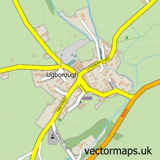
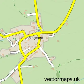
This Modbury street map is a detailed vector street map covering a 750m x 750m area. Select a larger area to create and download your own vector street map of Modbury.
The 750-metre map sample for Modbury covers 365 mapped buildings and approximately 16.8 km of road detail, of which 30 named roads are named. The immediate area includes 1 school, 1 GP surgery, 3 pubs and 2 MOT stations within 2 miles. The wider area around Modbury features 1 tourism point of interest, 5 food and drink venues and 1 campsite within 2 miles. To create a larger or custom map of Modbury, the map builder lets you define your own coverage area and download editable SVG, PDF and PNG files.
Create a larger editable map of Modbury
Choose any area you need and generate a high-quality vector map instantly. Perfect for print, planning, design, business and personal use.

This Modbury street map in Devon is available as downloadable SVG, PDF and PNG map files, or as a printed map for planning, business, display, education, local information and design work. You can also create a larger custom map area using the map selector.
What this Modbury map sample shows
Modbury lies within Modbury Cp parish, part of Charterlands ward in the South Hams District local authority area. The postcode geography for this area includes the PL postcode area, the PL21 postcode district and the PL21 0 postcode sector. Residents fall under the Nhs Devon Integrated Care Board for NHS services.
Local features near Modbury
Within 2 milesAmenities and services in and around Modbury.
Administrative and postcode information for Modbury
The local authority covering Modbury is South Hams District, within the county of Devon. The settlement lies within Charterlands ward and Modbury Cp civil parish. The PL21 postcode district and PL21 0 postcode sector serve the immediate area. NHS provision in the area is delivered through University Hospitals Plymouth Nhs Trust.
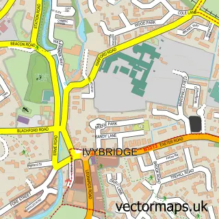
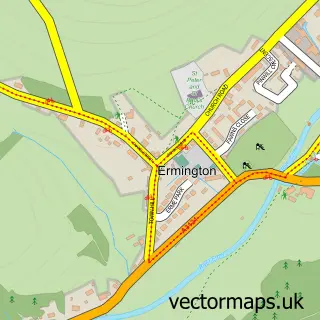
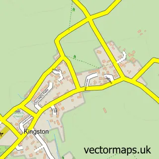
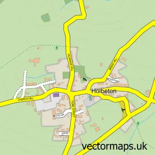
Nearby street map samples around Modbury

More street maps in Devon
750 metre map area coverage
Boundary, postcode and point of interest information for the 750m x 750m rectangle centred on this sample map.
Boundaries containing map centre
Constituency: South Devon Co Const
County: Devon County
District: South Hams District
Icb: NHS Devon ICB
Parish: Modbury CP
Police Force: devon and cornwall
Postcode District: PL21
Postcode Sector: PL21 0
Ward: Charterlands Ward
Nearby boundaries intersecting sample
No additional intersecting boundaries found.
Postcode coverage
POI category counts
Flowers And Gifts Shop: 4
Antique Store: 3
Hair Salon: 3
Pub: 3
Art Gallery: 2
Beauty Salon: 2
Church Cathedral: 2
Convenience Store: 2
Doctor: 2
Elementary School: 2
Sample points of interest
- Modbury Marketing Computer Services
- Shake Social
- Wakehams of Modbury
- Michael Hopkins
- Antique Maps Online
- St Lukes Hospice Shop
- Wild Goose Antiques
- Hand Drawn Home
- Fine Art Sales
- The Brownston Gallery
- Devonshire Fine Art
- Hulu Crafts
Create a larger editable map of Modbury
This sample shows only a 750 metre area. To create a larger map of Modbury, use our map builder to choose your own coverage area, add titles and download editable SVG, PDF and PNG files.
Create a custom map of Modbury