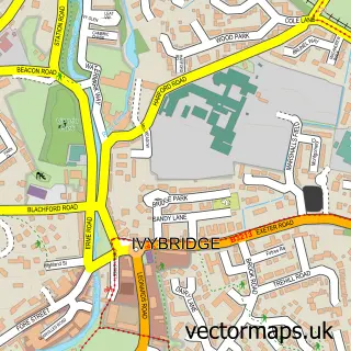
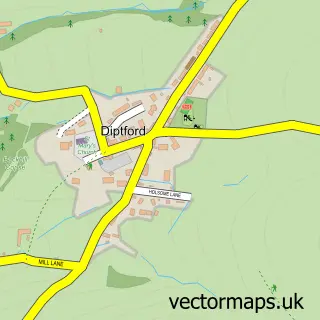
This Ugborough street map is a detailed vector street map covering a 750m x 750m area. Select a larger area to create and download your own vector street map of Ugborough.
The 750-metre map sample for Ugborough covers 133 mapped buildings and approximately 10.9 km of road detail, of which 8 named roads are named. The immediate area includes 1 school, 3 pubs and 2 MOT stations within 2 miles. The wider area around Ugborough features 1 tourism point of interest, 3 food and drink venues and 2 campsites within 2 miles. To create a larger or custom map of Ugborough, the map builder lets you define your own coverage area and download editable SVG, PDF and PNG files.
Create a larger editable map of Ugborough
Choose any area you need and generate a high-quality vector map instantly. Perfect for print, planning, design, business and personal use.

This Ugborough street map in Devon is available as downloadable SVG, PDF and PNG map files, or as a printed map for planning, business, display, education, local information and design work. You can also create a larger custom map area using the map selector.
What this Ugborough map sample shows
Ugborough lies within Ugborough Cp parish, part of Ermington & Ugborough ward in the South Hams District local authority area. The postcode geography for this area includes the PL postcode area, the PL21 postcode district and the PL21 0 postcode sector. Residents fall under the Nhs Devon Integrated Care Board for NHS services.
Local features near Ugborough
Within 2 milesAmenities and services in and around Ugborough.
Administrative and postcode information for Ugborough
The local authority covering Ugborough is South Hams District, within the county of Devon. The settlement lies within Ermington & Ugborough ward and Ugborough Cp civil parish. The PL21 postcode district and PL21 0 postcode sector serve the immediate area. NHS provision in the area is delivered through University Hospitals Plymouth Nhs Trust.
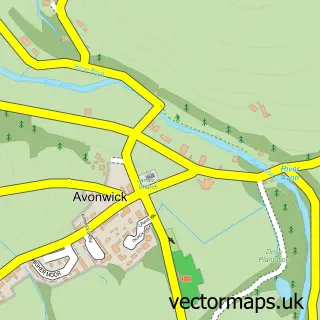
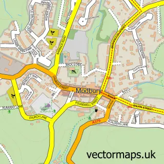
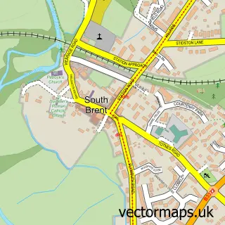
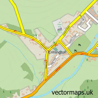
Nearby street map samples around Ugborough

More street maps in Devon
750 metre map area coverage
Boundary, postcode and point of interest information for the 750m x 750m rectangle centred on this sample map.
Boundaries containing map centre
Constituency: South West Devon Co Const
County: Devon County
District: South Hams District
Icb: NHS Devon ICB
Parish: Ugborough CP
Police Force: devon and cornwall
Postcode District: PL21
Postcode Sector: PL21 0
Ward: Ermington & Ugborough Ward
Nearby boundaries intersecting sample
No additional intersecting boundaries found.
Postcode coverage
POI category counts
Pub: 3
Holiday Rental Home: 2
Accommodation: 1
Anglican Church: 1
Arts And Crafts: 1
Church Cathedral: 1
Farm: 1
Landmark And Historical Building: 1
Medical Center: 1
Pet Services: 1
Sample points of interest
- Ugborough Square
- Ugborough Church
- Christine Coleman Collection
- St Peter's Church
- Cooper Farm Partnership
- Brackenhill Glamping
- The Haven Ugborough
- Ugborough
- Absolute Zero Tolerance
- Sign of the Owl Birds Pet Centre
- Anchor Inn Ugborough - Restaurant & Pub with Rooms
- The Anchor Inn
Create a larger editable map of Ugborough
This sample shows only a 750 metre area. To create a larger map of Ugborough, use our map builder to choose your own coverage area, add titles and download editable SVG, PDF and PNG files.
Create a custom map of Ugborough