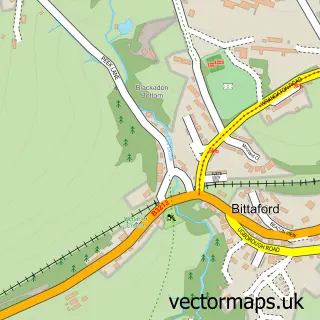
This Moorhaven Village street map is a detailed vector street map covering a 750m x 750m area. Select a larger area to create and download your own vector street map of Moorhaven Village.
The 750-metre map sample for Moorhaven Village covers 95 mapped buildings and approximately 9.2 km of road detail, of which 9 named roads are named. The immediate area includes 2 MOT stations within 2 miles. The wider area around Moorhaven Village features 1 tourism point of interest, 1 hotel and 1 campsite within 2 miles. To create a larger or custom map of Moorhaven Village, the map builder lets you define your own coverage area and download editable SVG, PDF and PNG files.
Create a larger editable map of Moorhaven Village
Choose any area you need and generate a high-quality vector map instantly. Perfect for print, planning, design, business and personal use.

This Moorhaven Village street map in Devon is available as downloadable SVG, PDF and PNG map files, or as a printed map for planning, business, display, education, local information and design work. You can also create a larger custom map area using the map selector.
What this Moorhaven Village map sample shows
Moorhaven Village lies within Ugborough Cp parish, part of Ermington & Ugborough ward in the South Hams District local authority area. The postcode geography for this area includes the PL postcode area, the PL21 postcode district and the PL21 0 postcode sector. Residents fall under the Nhs Devon Integrated Care Board for NHS services.
Local features near Moorhaven Village
Within 2 milesAmenities and services in and around Moorhaven Village.
Administrative and postcode information for Moorhaven Village
The local authority covering Moorhaven Village is South Hams District, within the county of Devon. The settlement lies within Ermington & Ugborough ward and Ugborough Cp civil parish. The PL21 postcode district and PL21 0 postcode sector serve the immediate area. NHS provision in the area is delivered through University Hospitals Plymouth Nhs Trust.
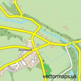
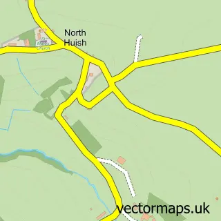
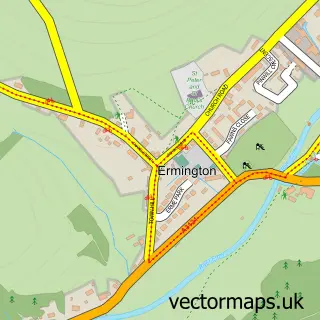
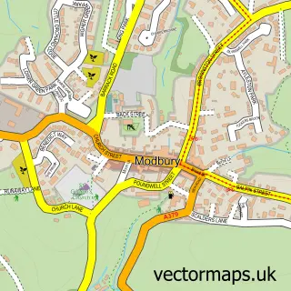
Nearby street map samples around Moorhaven Village
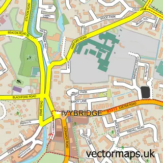

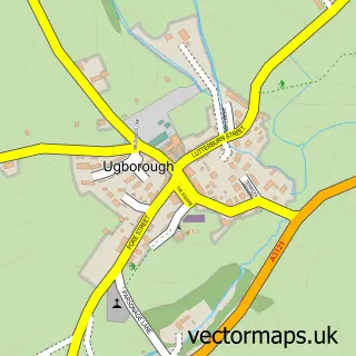
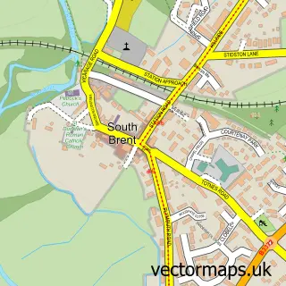

More street maps in Devon
750 metre map area coverage
Boundary, postcode and point of interest information for the 750m x 750m rectangle centred on this sample map.
Boundaries containing map centre
Constituency: South West Devon Co Const
County: Devon County
District: South Hams District
Icb: NHS Devon ICB
Parish: Ugborough CP
Police Force: devon and cornwall
Postcode District: PL21
Postcode Sector: PL21 0
Ward: Ermington & Ugborough Ward
Nearby boundaries intersecting sample
No additional intersecting boundaries found.
Postcode coverage
POI category counts
Building Supply Store: 2
Home Service: 2
Pet Boarding: 2
Automotive Services And Repair: 1
Business Consulting: 1
Educational Services: 1
Holiday Rental Home: 1
Home Developer: 1
Hotel: 1
Naturopathic Holistic: 1
Sample points of interest
- Total Ict
- Branching Out
- We Are Ease
- Warwick Insight
- Dartmoor Beekeeping
- The Cottages at Blackadon Farm
- Moorhaven Ltd
- Little Robins
- The Jays Day Nursery
- The Nook at Moorhaven
- Sally Potter
- Moorhaven, Dartmoor National Park
Create a larger editable map of Moorhaven Village
This sample shows only a 750 metre area. To create a larger map of Moorhaven Village, use our map builder to choose your own coverage area, add titles and download editable SVG, PDF and PNG files.
Create a custom map of Moorhaven Village