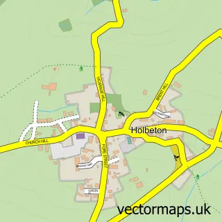
This Ivybridge street map is a detailed vector street map covering a 750m x 750m area. Select a larger area to create and download your own vector street map of Ivybridge.
The 750-metre map sample for Ivybridge covers 404 mapped buildings and approximately 18.2 km of road detail, of which 40 named roads are named. The immediate area includes 2 primary schools and 1 secondary school, 5 pubs and 8 MOT stations within 2 miles. The wider area around Ivybridge features 3 tourism points of interest, 12 food and drink venues and 2 hotels. To create a larger or custom map of Ivybridge, the map builder lets you define your own coverage area and download editable SVG, PDF and PNG files.
Create a larger editable map of Ivybridge
Choose any area you need and generate a high-quality vector map instantly. Perfect for print, planning, design, business and personal use.

This Ivybridge street map in Devon is available as downloadable SVG, PDF and PNG map files, or as a printed map for planning, business, display, education, local information and design work. You can also create a larger custom map area using the map selector.
What this Ivybridge map sample shows
Ivybridge lies within Ivybridge Cp parish, part of Ivybridge East ward in the South Hams District local authority area. The postcode geography for this area includes the PL postcode area, the PL21 postcode district and the PL21 0 postcode sector. Residents fall under the Nhs Devon Integrated Care Board for NHS services.
Local features near Ivybridge
Within 2 milesAmenities and services in and around Ivybridge.
Administrative and postcode information for Ivybridge
The local authority covering Ivybridge is South Hams District, within the county of Devon. The settlement lies within Ivybridge East ward and Ivybridge Cp civil parish. The PL21 postcode district and PL21 0 postcode sector serve the immediate area. NHS provision in the area is delivered through University Hospitals Plymouth Nhs Trust.
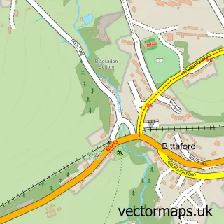
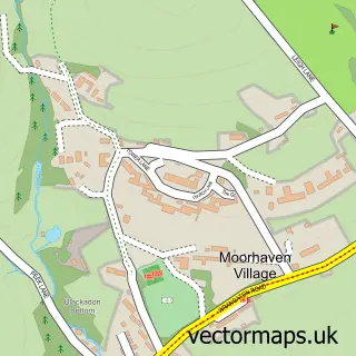
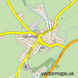
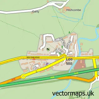
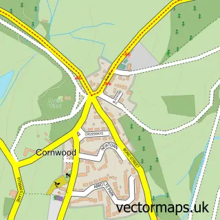
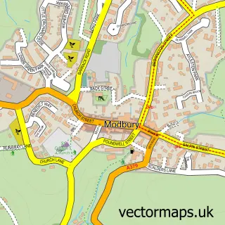
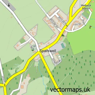
Nearby street map samples around Ivybridge

More street maps in Devon
750 metre map area coverage
Boundary, postcode and point of interest information for the 750m x 750m rectangle centred on this sample map.
Boundaries containing map centre
Constituency: South West Devon Co Const
County: Devon County
District: South Hams District
Icb: NHS Devon ICB
Parish: Ivybridge CP
Police Force: devon and cornwall
Postcode District: PL21
Postcode Sector: PL21 0
Ward: Ivybridge East Ward
Nearby boundaries intersecting sample
Postcode Sector: PL21 9
Ward: Ivybridge West Ward
Postcode coverage
POI category counts
Hair Salon: 8
Professional Services: 7
Real Estate Agent: 7
Cafe: 6
Doctor: 5
Pub: 5
Barber: 4
Convenience Store: 4
Funeral Services And Cemeteries: 4
Gas Station: 4
Sample points of interest
- Pawlyn and Co
- Acupuncture South Devon
- New Leaf Acupuncture Within Natures Larder
- Shellglade
- St John the Evangelist, Ivybridge
- St John's Church, Ivybridge
- The Leading Edge Picture Frame Shop
- Morrisons Daily - Ivybridge Costly Street, Costly Street
- The Cooperative Food (BF) Ivybridge - Glanvilles Mill, Shopping Precinct
- South West Philatelic Auctions
- Ivybridge Body Repairs
- Alan Skuse - Car, Van & Truck Parts Ltd.
Create a larger editable map of Ivybridge
This sample shows only a 750 metre area. To create a larger map of Ivybridge, use our map builder to choose your own coverage area, add titles and download editable SVG, PDF and PNG files.
Create a custom map of Ivybridge