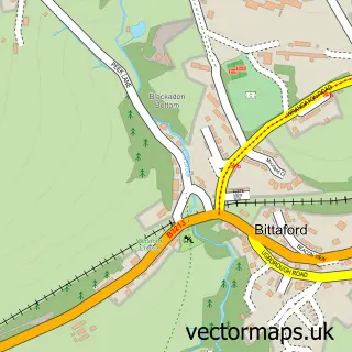
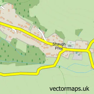
This Cornwood street map is a detailed vector street map covering a 750m x 750m area. Select a larger area to create and download your own vector street map of Cornwood.
The 750-metre map sample for Cornwood covers 137 mapped buildings and approximately 13.6 km of road detail, of which 8 named roads are named. The immediate area includes 1 school. The wider area around Cornwood features 1 food and drink venue. To create a larger or custom map of Cornwood, the map builder lets you define your own coverage area and download editable SVG, PDF and PNG files.
Create a larger editable map of Cornwood
Choose any area you need and generate a high-quality vector map instantly. Perfect for print, planning, design, business and personal use.

This Cornwood street map in Devon is available as downloadable SVG, PDF and PNG map files, or as a printed map for planning, business, display, education, local information and design work. You can also create a larger custom map area using the map selector.
What this Cornwood map sample shows
Cornwood lies within Cornwood Cp parish, part of Bickleigh & Cornwood ward in the South Hams District local authority area. The postcode geography for this area includes the PL postcode area, the PL21 postcode district and the PL21 9 postcode sector. Residents fall under the Nhs Devon Integrated Care Board for NHS services.
Local features near Cornwood
Within 2 milesAmenities and services in and around Cornwood.
Administrative and postcode information for Cornwood
Cornwood lies within Cornwood Cp parish, part of Bickleigh & Cornwood ward in the South Hams District local authority area. The postcode geography for this area includes the PL postcode area, the PL21 postcode district and the PL21 9 postcode sector. Residents fall under the Nhs Devon Integrated Care Board for NHS services.
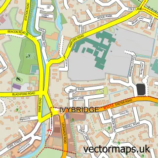
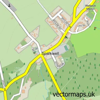
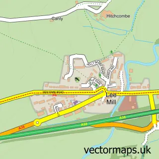
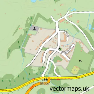
Nearby street map samples around Cornwood

More street maps in Devon
750 metre map area coverage
Boundary, postcode and point of interest information for the 750m x 750m rectangle centred on this sample map.
Boundaries containing map centre
Constituency: South West Devon Co Const
County: Devon County
District: South Hams District
Icb: NHS Devon ICB
Parish: Cornwood CP
Police Force: devon and cornwall
Postcode District: PL21
Postcode Sector: PL21 9
Ward: Bickleigh & Cornwood Ward
Nearby boundaries intersecting sample
No additional intersecting boundaries found.
Postcode coverage
POI category counts
Church Cathedral: 2
Corporate Office: 2
Elementary School: 2
Post Office: 2
Anglican Church: 1
Art Gallery: 1
Cleaning Services: 1
Community Services Non Profits: 1
Financial Service: 1
Preschool: 1
Sample points of interest
- St Michael and All Angels, Cornwood
- Delamore Gallery & Sculpture Courtyard
- Cornwood Church - South Dartmoor
- St Michael and All Angels Church
- First Impressions Exterior Cleaning Specialists
- Hannahs Charity Shop
- ZAMBEZI Safari & Travel Co. Ltd.
- Zambezi Safari & Travel Co LTD
- Cornwood C of E Primary School
- Cornwood C of E Primary School
- Manning & Company
- Cornwood Post Office
Create a larger editable map of Cornwood
This sample shows only a 750 metre area. To create a larger map of Cornwood, use our map builder to choose your own coverage area, add titles and download editable SVG, PDF and PNG files.
Create a custom map of Cornwood