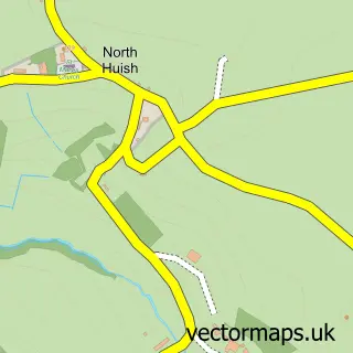
This Avonwick street map is a detailed vector street map covering a 750m x 750m area. Select a larger area to create and download your own vector street map of Avonwick.
The 750-metre map sample for Avonwick covers 106 mapped buildings and approximately 15.1 km of road detail, of which 3 named roads are named. The immediate area includes 1 GP surgery within 2 miles, 1 pub and 1 MOT station, with 3 within 2 miles. The wider area around Avonwick features 1 tourism point of interest, 1 food and drink venue and 1 hotel. To create a larger or custom map of Avonwick, the map builder lets you define your own coverage area and download editable SVG, PDF and PNG files.
Create a larger editable map of Avonwick
Choose any area you need and generate a high-quality vector map instantly. Perfect for print, planning, design, business and personal use.

This Avonwick street map in Devon is available as downloadable SVG, PDF and PNG map files, or as a printed map for planning, business, display, education, local information and design work. You can also create a larger custom map area using the map selector.
What this Avonwick map sample shows
Avonwick lies within North Huish Cp parish, part of South Brent ward in the South Hams District local authority area. The postcode geography for this area includes the TQ postcode area, the TQ10 postcode district and the TQ10 9 postcode sector. Residents fall under the Nhs Devon Integrated Care Board for NHS services.
Local features near Avonwick
Within 2 milesAmenities and services in and around Avonwick.
Administrative and postcode information for Avonwick
Avonwick lies within North Huish Cp parish, part of South Brent ward in the South Hams District local authority area. The postcode geography for this area includes the TQ postcode area, the TQ10 postcode district and the TQ10 9 postcode sector. Residents fall under the Nhs Devon Integrated Care Board for NHS services.
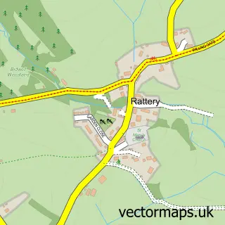
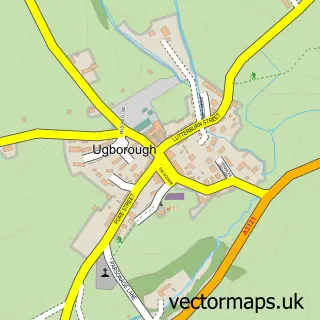
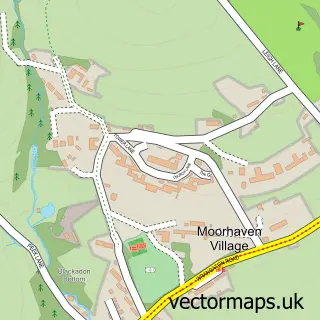
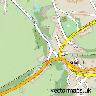
Nearby street map samples around Avonwick


More street maps in Devon
750 metre map area coverage
Boundary, postcode and point of interest information for the 750m x 750m rectangle centred on this sample map.
Boundaries containing map centre
Constituency: South Devon Co Const
County: Devon County
District: South Hams District
Icb: NHS Devon ICB
Parish: North Huish CP
Police Force: devon and cornwall
Postcode District: TQ10
Postcode Sector: TQ10 9
Ward: South Brent Ward
Nearby boundaries intersecting sample
Parish: South Brent CP
Postcode coverage
POI category counts
Anglican Church: 1
Bridal Shop: 1
Car Dealer: 1
Dog Walkers: 1
Gas Station: 1
Grocery Store: 1
Hotel: 1
Landmark And Historical Building: 1
Pub: 1
Sports Club And League: 1
Sample points of interest
- St James's Church, Avonwick
- Optical Sound Video Recordings
- Cousins Bros.
- Pups and Paws South Devon
- Pace
- Avonwick Shop
- Bridge Cottage Avonwick
- Avonwick Manor
- The Avon Inn
- Avon Vale Tennis and Croquet Club
Create a larger editable map of Avonwick
This sample shows only a 750 metre area. To create a larger map of Avonwick, use our map builder to choose your own coverage area, add titles and download editable SVG, PDF and PNG files.
Create a custom map of Avonwick