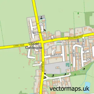
This Moggerhanger street map is a detailed vector street map covering a 750m x 750m area. Select a larger area to create and download your own vector street map of Moggerhanger.
The 750-metre map sample for Moggerhanger covers 220 mapped buildings and approximately 9.5 km of road detail, of which 9 named roads are named. The immediate area includes 1 school, 1 GP surgery within 2 miles, 1 pub and 1 MOT station, with 3 within 2 miles. The wider area around Moggerhanger features 1 food and drink venue. To create a larger or custom map of Moggerhanger, the map builder lets you define your own coverage area and download editable SVG, PDF and PNG files.
Create a larger editable map of Moggerhanger
Choose any area you need and generate a high-quality vector map instantly. Perfect for print, planning, design, business and personal use.

This Moggerhanger street map in Bedfordshire is available as downloadable SVG, PDF and PNG map files, or as a printed map for planning, business, display, education, local information and design work. You can also create a larger custom map area using the map selector.
What this Moggerhanger map sample shows
Moggerhanger lies within Moggerhanger Cp parish, part of Northill ward in the Central Bedfordshire local authority area. The postcode geography for this area includes the MK postcode area, the MK44 postcode district and the MK44 3 postcode sector. Residents fall under the Nhs Bedfordshire, Luton And Milton Keynes Integrated Care Board for NHS services.
Local features near Moggerhanger
Within 2 milesAmenities and services in and around Moggerhanger.
Administrative and postcode information for Moggerhanger
Moggerhanger lies within Moggerhanger Cp parish, part of Northill ward in the Central Bedfordshire local authority area. The postcode geography for this area includes the MK postcode area, the MK44 postcode district and the MK44 3 postcode sector. Residents fall under the Nhs Bedfordshire, Luton And Milton Keynes Integrated Care Board for NHS services.
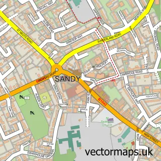
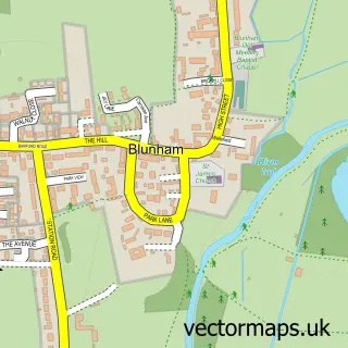
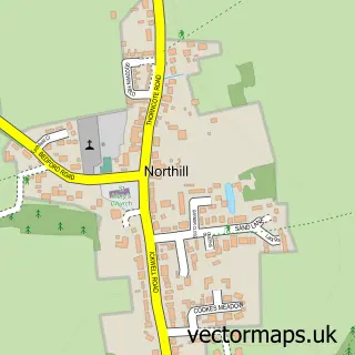
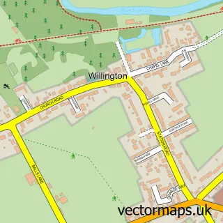
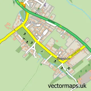
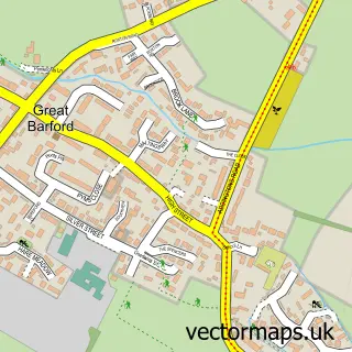
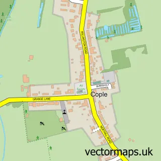
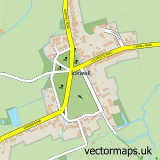
Nearby street map samples around Moggerhanger

More street maps in Bedfordshire
750 metre map area coverage
Boundary, postcode and point of interest information for the 750m x 750m rectangle centred on this sample map.
Boundaries containing map centre
Constituency: North Bedfordshire Co Const
District: Central Bedfordshire
Icb: NHS Central East ICB
Parish: Moggerhanger CP
Police Force: bedfordshire
Postcode District: MK44
Postcode Sector: MK44 3
Ward: Northill Ward
Nearby boundaries intersecting sample
No additional intersecting boundaries found.
Postcode coverage
POI category counts
Beauty Salon: 2
Pet Groomer: 2
Anglican Church: 1
Beauty And Spa: 1
Car Dealer: 1
Charity Organization: 1
Church Cathedral: 1
Cleaning Services: 1
Construction Services: 1
Driving School: 1
Sample points of interest
- St John's
- TLCbeau-tox
- Steve James Hair Design. The Country Salon
- TLC Beau-tox
- Raymond Smith Sales & Service
- Sue Ryder St John's Hospice
- St John's Church
- Oven Wizards
- Turner Design and Build
- Wiseknight
- Moggerhanger Primary School
- RHA Financial Management
Create a larger editable map of Moggerhanger
This sample shows only a 750 metre area. To create a larger map of Moggerhanger, use our map builder to choose your own coverage area, add titles and download editable SVG, PDF and PNG files.
Create a custom map of Moggerhanger