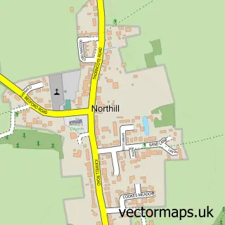
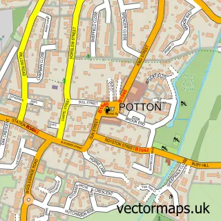
This Sandy street map is a detailed vector street map covering a 750m x 750m area. Select a larger area to create and download your own vector street map of Sandy.
The 750-metre map sample for Sandy covers 553 mapped buildings and approximately 18.6 km of road detail, of which 44 named roads are named. The immediate area includes 1 school, 1 GP surgery, 3 pubs and 5 MOT stations within 2 miles. The wider area around Sandy features 1 tourism point of interest and 8 food and drink venues. To create a larger or custom map of Sandy, the map builder lets you define your own coverage area and download editable SVG, PDF and PNG files.
Create a larger editable map of Sandy
Choose any area you need and generate a high-quality vector map instantly. Perfect for print, planning, design, business and personal use.

This Sandy street map in Bedfordshire is available as downloadable SVG, PDF and PNG map files, or as a printed map for planning, business, display, education, local information and design work. You can also create a larger custom map area using the map selector.
What this Sandy map sample shows
Sandy lies within Sandy Cp parish, part of Sandy ward in the Central Bedfordshire local authority area. The postcode geography for this area includes the SG postcode area, the SG19 postcode district and the SG19 1 postcode sector. Residents fall under the Nhs Bedfordshire, Luton And Milton Keynes Integrated Care Board for NHS services.
Local features near Sandy
Within 2 milesAmenities and services in and around Sandy.
Administrative and postcode information for Sandy
The local authority covering Sandy is Central Bedfordshire, within the county of Bedfordshire. The settlement lies within Sandy ward and Sandy Cp civil parish. The SG19 postcode district and SG19 1 postcode sector serve the immediate area. NHS provision in the area is delivered through Bedfordshire Hospitals Nhs Foundation Trust.
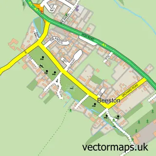
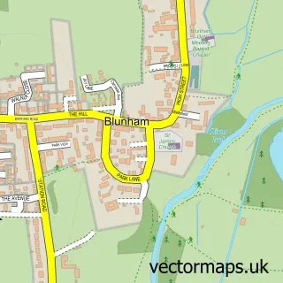
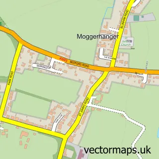
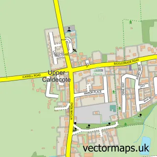
Nearby street map samples around Sandy

More street maps in Bedfordshire
750 metre map area coverage
Boundary, postcode and point of interest information for the 750m x 750m rectangle centred on this sample map.
Boundaries containing map centre
Constituency: North Bedfordshire Co Const
District: Central Bedfordshire
Icb: NHS Central East ICB
Parish: Sandy CP
Police Force: bedfordshire
Postcode District: SG19
Postcode Sector: SG19 1
Ward: Sandy Ward
Nearby boundaries intersecting sample
No additional intersecting boundaries found.
Postcode coverage
POI category counts
Hair Salon: 6
Beauty Salon: 5
Doctor: 5
Barber: 4
Fast Food Restaurant: 4
Indian Restaurant: 4
Veterinarian: 4
Bakery: 3
Betting Center: 3
Convenience Store: 3
Sample points of interest
- Blue Skies - TV and Media Business Advisors & Accountants
- Hyde & Lewis
- Let's Get Going CIC
- Sandy Football Club
- Sandy Parish Church - St Swithun's
- Wooden Flamingo
- Gabriel's
- ATM (Post Office)
- The Cooperative Food Sandy High Street
- Bectec Vehicle Repairs
- Frosted Sky Cakes
- Gunns Bakery
Create a larger editable map of Sandy
This sample shows only a 750 metre area. To create a larger map of Sandy, use our map builder to choose your own coverage area, add titles and download editable SVG, PDF and PNG files.
Create a custom map of Sandy