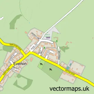
This Blunham street map is a detailed vector street map covering a 750m x 750m area. Select a larger area to create and download your own vector street map of Blunham.
The 750-metre map sample for Blunham covers 244 mapped buildings and approximately 5.9 km of road detail, of which 11 named roads are named. The immediate area includes 1 school, 2 GP surgeries within 2 miles, 1 pub and 6 MOT stations within 2 miles. The wider area around Blunham features 1 food and drink venue. To create a larger or custom map of Blunham, the map builder lets you define your own coverage area and download editable SVG, PDF and PNG files.
Create a larger editable map of Blunham
Choose any area you need and generate a high-quality vector map instantly. Perfect for print, planning, design, business and personal use.

This Blunham street map in Bedfordshire is available as downloadable SVG, PDF and PNG map files, or as a printed map for planning, business, display, education, local information and design work. You can also create a larger custom map area using the map selector.
What this Blunham map sample shows
Blunham lies within Blunham Cp parish, part of Sandy ward in the Central Bedfordshire local authority area. The postcode geography for this area includes the MK postcode area, the MK44 postcode district and the MK44 3 postcode sector. Residents fall under the Nhs Bedfordshire, Luton And Milton Keynes Integrated Care Board for NHS services.
Local features near Blunham
Within 2 milesAmenities and services in and around Blunham.
Administrative and postcode information for Blunham
The local authority covering Blunham is Central Bedfordshire, within the county of Bedfordshire. The settlement lies within Sandy ward and Blunham Cp civil parish. The MK44 postcode district and MK44 3 postcode sector serve the immediate area. NHS provision in the area is delivered through Bedfordshire Hospitals Nhs Foundation Trust.
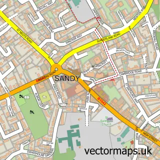
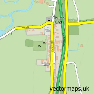
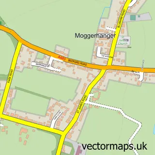
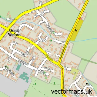
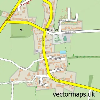
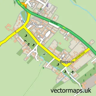
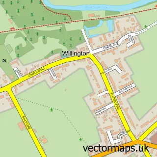
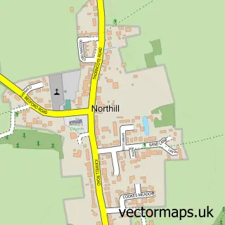
Nearby street map samples around Blunham

More street maps in Bedfordshire
750 metre map area coverage
Boundary, postcode and point of interest information for the 750m x 750m rectangle centred on this sample map.
Boundaries containing map centre
Constituency: North Bedfordshire Co Const
District: Central Bedfordshire
Icb: NHS Central East ICB
Parish: Blunham CP
Police Force: bedfordshire
Postcode District: MK44
Postcode Sector: MK44 3
Ward: Sandy Ward
Nearby boundaries intersecting sample
Parish: Sandy CP
Postcode District: SG19
Postcode Sector: SG19 2
Postcode coverage
POI category counts
Elementary School: 3
Anglican Church: 1
Assisted Living Facility: 1
Bar: 1
Building Contractor: 1
Building Supply Store: 1
Church Cathedral: 1
Convenience Store: 1
Day Care Preschool: 1
Fish And Chips Restaurant: 1
Sample points of interest
- St Edmund or St James
- Anchor - Wellsfield
- The Horseshoes
- Ouse Window Cleaning
- LG Plumbing & Heating
- Blunham Parish Church
- Premier Blunham Village Store
- John Donne Church of England Lower School Nursery
- Harpers Nursery School
- John Donne Church of England Primary School
- John Donne Lower School
- Blunham Fish Bar
Create a larger editable map of Blunham
This sample shows only a 750 metre area. To create a larger map of Blunham, use our map builder to choose your own coverage area, add titles and download editable SVG, PDF and PNG files.
Create a custom map of Blunham