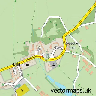
This Moreton Pinkney street map is a detailed vector street map covering a 750m x 750m area. Select a larger area to create and download your own vector street map of Moreton Pinkney.
The 750-metre map sample for Moreton Pinkney covers 142 mapped buildings and approximately 14.5 km of road detail, of which 10 named roads are named. The immediate area includes 1 MOT station within 2 miles. To create a larger or custom map of Moreton Pinkney, the map builder lets you define your own coverage area and download editable SVG, PDF and PNG files.
Create a larger editable map of Moreton Pinkney
Choose any area you need and generate a high-quality vector map instantly. Perfect for print, planning, design, business and personal use.

This Moreton Pinkney street map in Northamptonshire is available as downloadable SVG, PDF and PNG map files, or as a printed map for planning, business, display, education, local information and design work. You can also create a larger custom map area using the map selector.
What this Moreton Pinkney map sample shows
Moreton Pinkney lies within Moreton Pinkney Cp parish, part of Washington ward in the West Northamptonshire local authority area. The postcode geography for this area includes the NN postcode area, the NN11 postcode district and the NN11 3 postcode sector. Residents fall under the Nhs Northamptonshire Integrated Care Board for NHS services.
Local features near Moreton Pinkney
Within 2 milesAmenities and services in and around Moreton Pinkney.
Administrative and postcode information for Moreton Pinkney
Moreton Pinkney lies within Moreton Pinkney Cp parish, part of Washington ward in the West Northamptonshire local authority area. The postcode geography for this area includes the NN postcode area, the NN11 postcode district and the NN11 3 postcode sector. Residents fall under the Nhs Northamptonshire Integrated Care Board for NHS services.
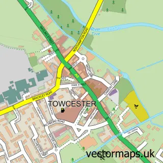
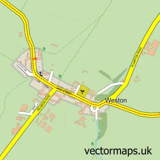
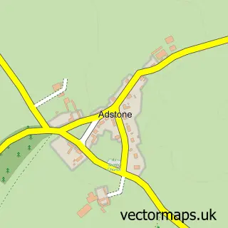
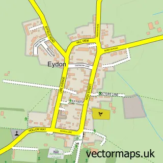
Nearby street map samples around Moreton Pinkney


More street maps in Northamptonshire
750 metre map area coverage
Boundary, postcode and point of interest information for the 750m x 750m rectangle centred on this sample map.
Boundaries containing map centre
Constituency: South Northamptonshire Co Const
District: West Northamptonshire
Icb: NHS Northamptonshire ICB
Parish: Moreton Pinkney CP
Police Force: northamptonshire
Postcode District: NN11
Postcode Sector: NN11 3
Ward: Rural South Northamptonshire Ward
Nearby boundaries intersecting sample
No additional intersecting boundaries found.
Postcode coverage
POI category counts
Bed And Breakfast: 2
Anglican Church: 1
Automotive Repair: 1
Builders: 1
Ev Charging Station: 1
Food Beverage Service Distribution: 1
Irish Pub: 1
Kitchen Remodeling: 1
Marketing Consultant: 1
Self Storage Facility: 1
Sample points of interest
- St Mary the Virgin
- Moreton Pinkney Garage
- Moreton Pinkney Garden Room
- The Old Vicarage
- Dave Upton Home Improvements
- Sportsview Ltd
- Pandemania Wood Fired Pizza
- The Saracens Head
- Heartwood Kitchen and Stove company
- Duncan Alexander & Wilmshurst / DAW Ltd.
- Stagecoach
Create a larger editable map of Moreton Pinkney
This sample shows only a 750 metre area. To create a larger map of Moreton Pinkney, use our map builder to choose your own coverage area, add titles and download editable SVG, PDF and PNG files.
Create a custom map of Moreton Pinkney