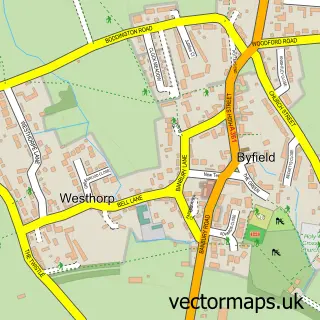
This Eydon street map is a detailed vector street map covering a 750m x 750m area. Select a larger area to create and download your own vector street map of Eydon.
The 750-metre map sample for Eydon covers 196 mapped buildings and approximately 21.5 km of road detail, of which 14 named roads are named. The immediate area includes 1 pub and 2 MOT stations within 2 miles. The wider area around Eydon features 1 food and drink venue. To create a larger or custom map of Eydon, the map builder lets you define your own coverage area and download editable SVG, PDF and PNG files.
Create a larger editable map of Eydon
Choose any area you need and generate a high-quality vector map instantly. Perfect for print, planning, design, business and personal use.

This Eydon street map in Northamptonshire is available as downloadable SVG, PDF and PNG map files, or as a printed map for planning, business, display, education, local information and design work. You can also create a larger custom map area using the map selector.
What this Eydon map sample shows
Eydon lies within Eydon Cp parish, part of Danvers And Wardoun ward in the West Northamptonshire local authority area. The postcode geography for this area includes the NN postcode area, the NN11 postcode district and the NN11 3 postcode sector. Residents fall under the Nhs Northamptonshire Integrated Care Board for NHS services.
Local features near Eydon
Within 2 milesAmenities and services in and around Eydon.
Administrative and postcode information for Eydon
The local authority covering Eydon is West Northamptonshire, within the county of Northamptonshire. The settlement lies within Danvers And Wardoun ward and Eydon Cp civil parish. The NN11 postcode district and NN11 3 postcode sector serve the immediate area. NHS provision in the area is delivered through Oxford University Hospitals Nhs Foundation Trust.
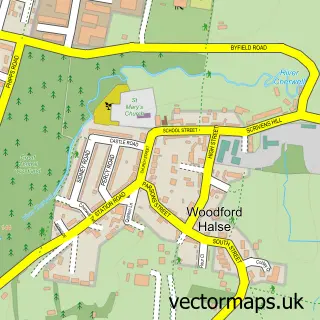
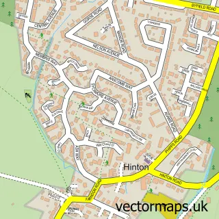
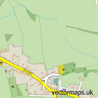
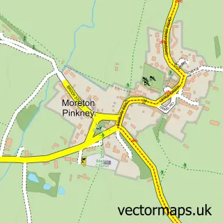
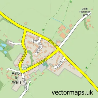
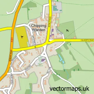
Nearby street map samples around Eydon


More street maps in Northamptonshire
750 metre map area coverage
Boundary, postcode and point of interest information for the 750m x 750m rectangle centred on this sample map.
Boundaries containing map centre
Constituency: Daventry Co Const
District: West Northamptonshire
Icb: NHS Northamptonshire ICB
Parish: Eydon CP
Police Force: northamptonshire
Postcode District: NN11
Postcode Sector: NN11 3
Ward: Rural South Northamptonshire Ward
Nearby boundaries intersecting sample
No additional intersecting boundaries found.
Postcode coverage
POI category counts
Accommodation: 1
Anglican Church: 1
Architectural Designer: 1
Automotive: 1
Electrician: 1
Farm: 1
Gastropub: 1
Hunting And Fishing Supplies: 1
Liquor Store: 1
Plastic Fabrication Company: 1
Sample points of interest
- Crockwell Farm
- St Nicholas, Eydon
- Roger Coy Partnership
- Daventry’s Best Hand Car Wash
- AJR Electrical Services
- Dodds Manor Farm
- The Royal Oak
- The Eydon Kettle Company
- Oboe Fine Wine of Eydon
- R a Connections
- Golha project
- The Royal Oak
Create a larger editable map of Eydon
This sample shows only a 750 metre area. To create a larger map of Eydon, use our map builder to choose your own coverage area, add titles and download editable SVG, PDF and PNG files.
Create a custom map of Eydon