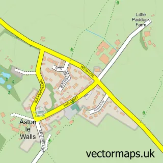
This Chipping Warden street map is a detailed vector street map covering a 750m x 750m area. Select a larger area to create and download your own vector street map of Chipping Warden.
The 750-metre map sample for Chipping Warden covers 155 mapped buildings and approximately 21.2 km of road detail, of which 10 named roads are named. The immediate area includes 1 school, 2 pubs and 1 MOT station within 2 miles. The wider area around Chipping Warden features 2 food and drink venues. To create a larger or custom map of Chipping Warden, the map builder lets you define your own coverage area and download editable SVG, PDF and PNG files.
Create a larger editable map of Chipping Warden
Choose any area you need and generate a high-quality vector map instantly. Perfect for print, planning, design, business and personal use.

This Chipping Warden street map in Northamptonshire is available as downloadable SVG, PDF and PNG map files, or as a printed map for planning, business, display, education, local information and design work. You can also create a larger custom map area using the map selector.
What this Chipping Warden map sample shows
Chipping Warden lies within Chipping Warden And Edgcote Cp parish, part of Danvers And Wardoun ward in the West Northamptonshire local authority area. The postcode geography for this area includes the OX postcode area, the OX17 postcode district and the OX17 1 postcode sector. Residents fall under the Nhs Northamptonshire Integrated Care Board for NHS services.
Local features near Chipping Warden
Within 2 milesAmenities and services in and around Chipping Warden.
Administrative and postcode information for Chipping Warden
The local authority covering Chipping Warden is West Northamptonshire, within the county of Northamptonshire. The settlement lies within Danvers And Wardoun ward and Chipping Warden And Edgcote Cp civil parish. The OX17 postcode district and OX17 1 postcode sector serve the immediate area. NHS provision in the area is delivered through Oxford University Hospitals Nhs Foundation Trust.
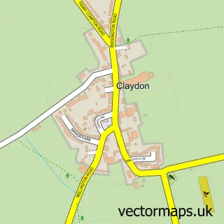
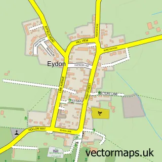
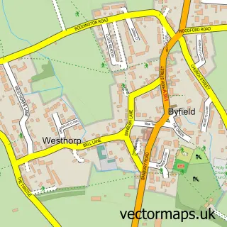
Nearby street map samples around Chipping Warden


More street maps in Northamptonshire
750 metre map area coverage
Boundary, postcode and point of interest information for the 750m x 750m rectangle centred on this sample map.
Boundaries containing map centre
Constituency: Daventry Co Const
District: West Northamptonshire
Icb: NHS Northamptonshire ICB
Parish: Chipping Warden and Edgcote CP
Police Force: northamptonshire
Postcode District: OX17
Postcode Sector: OX17 1
Ward: Rural South Northamptonshire Ward
Nearby boundaries intersecting sample
No additional intersecting boundaries found.
Postcode coverage
POI category counts
It Service And Computer Repair: 2
Pub: 2
Advertising Agency: 1
Anglican Church: 1
Business Management Services: 1
Employment Agencies: 1
Newspaper And Magazines Store: 1
Preschool: 1
Rv Rentals: 1
School: 1
Sample points of interest
- Brand Mirror
- St Peter & St Paul
- Raw Inspirations
- Elmwood Consulting
- Cing Technologies
- Essential Computing Solutions Limited
- Sign Update
- Chipping Warden Kindergarten
- Griffin Inn
- Rose & Crown Pub
- The Big Yellow Camper Co.
- Chipping Warden Primary School
Create a larger editable map of Chipping Warden
This sample shows only a 750 metre area. To create a larger map of Chipping Warden, use our map builder to choose your own coverage area, add titles and download editable SVG, PDF and PNG files.
Create a custom map of Chipping Warden