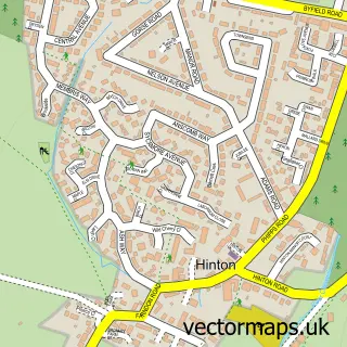
This Byfield street map is a detailed vector street map covering a 750m x 750m area. Select a larger area to create and download your own vector street map of Byfield.
The 750-metre map sample for Byfield covers 332 mapped buildings and approximately 25.5 km of road detail, of which 22 named roads are named. The immediate area includes 1 school, 1 GP surgery, 1 pub and 1 MOT station within 2 miles. The wider area around Byfield features 2 tourism points of interest and 1 food and drink venue. To create a larger or custom map of Byfield, the map builder lets you define your own coverage area and download editable SVG, PDF and PNG files.
Create a larger editable map of Byfield
Choose any area you need and generate a high-quality vector map instantly. Perfect for print, planning, design, business and personal use.

This Byfield street map in Northamptonshire is available as downloadable SVG, PDF and PNG map files, or as a printed map for planning, business, display, education, local information and design work. You can also create a larger custom map area using the map selector.
What this Byfield map sample shows
Byfield lies within Byfield Cp parish, part of Woodford ward in the West Northamptonshire local authority area. The postcode geography for this area includes the NN postcode area, the NN11 postcode district and the NN11 6 postcode sector. Residents fall under the Nhs Northamptonshire Integrated Care Board for NHS services.
Local features near Byfield
Within 2 milesAmenities and services in and around Byfield.
Administrative and postcode information for Byfield
The local authority covering Byfield is West Northamptonshire, within the county of Northamptonshire. The settlement lies within Woodford ward and Byfield Cp civil parish. The NN11 postcode district and NN11 6 postcode sector serve the immediate area. NHS provision in the area is delivered through Oxford University Hospitals Nhs Foundation Trust.
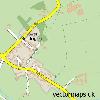
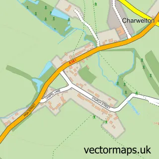
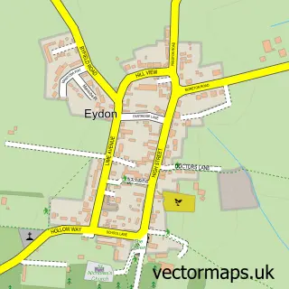
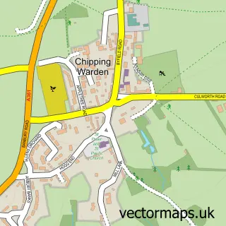
Nearby street map samples around Byfield


More street maps in Northamptonshire
750 metre map area coverage
Boundary, postcode and point of interest information for the 750m x 750m rectangle centred on this sample map.
Boundaries containing map centre
Constituency: Daventry Co Const
District: West Northamptonshire
Icb: NHS Northamptonshire ICB
Parish: Byfield CP
Police Force: northamptonshire
Postcode District: NN11
Postcode Sector: NN11 6
Ward: Woodford & Weedon Ward
Nearby boundaries intersecting sample
No additional intersecting boundaries found.
Postcode coverage
POI category counts
Building Supply Store: 3
Convenience Store: 2
Elementary School: 2
Gas Station: 2
Retail: 2
Shipping Center: 2
Advertising Agency: 1
Animal Shelter: 1
Arts And Entertainment: 1
Assisted Living Facility: 1
Sample points of interest
- Eve Communications
- Banbury Animal Rescue & Kindness Service
- Byfield Village Club
- Flora Innes House
- Midcounties Co-Op Byfield, Byfield
- The Beauty Room - Byfield
- The Homestead
- Beech Brothers
- C J Parts
- Tiling Pro Ltd
- Shaun Start Financial Planning
- Seamstress Playchutes
Create a larger editable map of Byfield
This sample shows only a 750 metre area. To create a larger map of Byfield, use our map builder to choose your own coverage area, add titles and download editable SVG, PDF and PNG files.
Create a custom map of Byfield