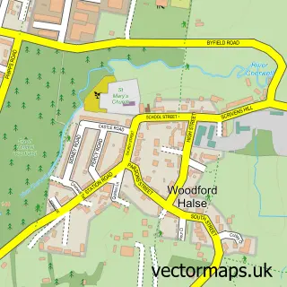
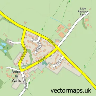
This Hinton street map is a detailed vector street map covering a 750m x 750m area. Select a larger area to create and download your own vector street map of Hinton.
The 750-metre map sample for Hinton covers 580 mapped buildings and approximately 30.9 km of road detail, of which 48 named roads are named. The immediate area includes 1 GP surgery within 2 miles and 1 MOT station within 2 miles. The wider area around Hinton features 2 tourism points of interest and 1 food and drink venue. To create a larger or custom map of Hinton, the map builder lets you define your own coverage area and download editable SVG, PDF and PNG files.
Create a larger editable map of Hinton
Choose any area you need and generate a high-quality vector map instantly. Perfect for print, planning, design, business and personal use.

This Hinton street map in Northamptonshire is available as downloadable SVG, PDF and PNG map files, or as a printed map for planning, business, display, education, local information and design work. You can also create a larger custom map area using the map selector.
What this Hinton map sample shows
Hinton lies within Woodford Cum Membris Cp parish, part of Woodford ward in the West Northamptonshire local authority area. The postcode geography for this area includes the NN postcode area, the NN11 postcode district and the NN11 3 postcode sector. Residents fall under the Nhs Northamptonshire Integrated Care Board for NHS services.
Local features near Hinton
Within 2 milesAmenities and services in and around Hinton.
Administrative and postcode information for Hinton
The local authority covering Hinton is West Northamptonshire, within the county of Northamptonshire. The settlement lies within Woodford ward and Woodford Cum Membris Cp civil parish. The NN11 postcode district and NN11 3 postcode sector serve the immediate area. NHS provision in the area is delivered through Oxford University Hospitals Nhs Foundation Trust.
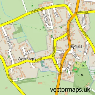
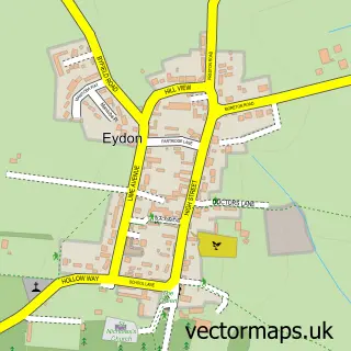
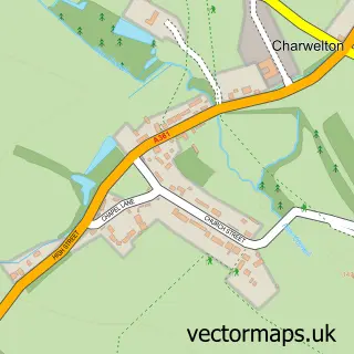
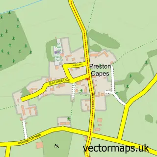
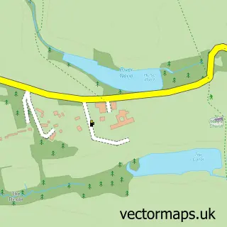
Nearby street map samples around Hinton


More street maps in Northamptonshire
750 metre map area coverage
Boundary, postcode and point of interest information for the 750m x 750m rectangle centred on this sample map.
Boundaries containing map centre
Constituency: Daventry Co Const
District: West Northamptonshire
Icb: NHS Northamptonshire ICB
Parish: Woodford cum Membris CP
Police Force: northamptonshire
Postcode District: NN11
Postcode Sector: NN11 3
Ward: Woodford & Weedon Ward
Nearby boundaries intersecting sample
No additional intersecting boundaries found.
Postcode coverage
POI category counts
Driving School: 2
Flowers And Gifts Shop: 2
Landmark And Historical Building: 2
Preschool: 2
Aircraft Manufacturer: 1
Airport Terminal: 1
Baby Gear And Furniture: 1
Bakery: 1
Beauty And Spa: 1
Carpenter: 1
Sample points of interest
- Go Digital Cctv Ltd.
- Bombay International Airport Terminal 1
- Best Years
- Megan Bakes
- Kingfisher Beauty Lounge
- Chipper Carpentry LTD
- Hinton Carpets
- Hinton Building Services
- Hinton Methodist Church Woodford Halse
- Zeno Online Sportswear Shop
- Costa Express
- Evri ParcelShop
Create a larger editable map of Hinton
This sample shows only a 750 metre area. To create a larger map of Hinton, use our map builder to choose your own coverage area, add titles and download editable SVG, PDF and PNG files.
Create a custom map of Hinton