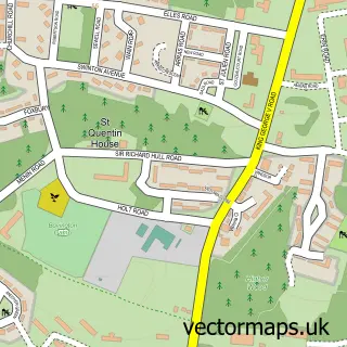
This Moreton street map is a detailed vector street map covering a 750m x 750m area. Select a larger area to create and download your own vector street map of Moreton.
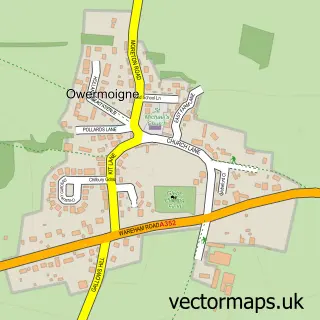
The 750-metre map sample for Moreton covers 58 mapped buildings and approximately 8.3 km of road detail, of which 3 named roads are named. The immediate area includes 1 school and 1 MOT station within 2 miles. The wider area around Moreton features 4 tourism points of interest, 1 food and drink venue and 1 hotel. To create a larger or custom map of Moreton, the map builder lets you define your own coverage area and download editable SVG, PDF and PNG files.
Create a larger editable map of Moreton
Choose any area you need and generate a high-quality vector map instantly. Perfect for print, planning, design, business and personal use.

This Moreton street map in Dorset is available as downloadable SVG, PDF and PNG map files, or as a printed map for planning, business, display, education, local information and design work. You can also create a larger custom map area using the map selector.
What this Moreton map sample shows
Moreton lies within Moreton Cp parish, part of West Purbeck ward in the Dorset local authority area. The postcode geography for this area includes the DT postcode area, the DT2 postcode district and the DT2 8 postcode sector. Residents fall under the Nhs Dorset Integrated Care Board for NHS services.
Local features near Moreton
Within 2 milesAmenities and services in and around Moreton.
Administrative and postcode information for Moreton
Moreton lies within Moreton Cp parish, part of West Purbeck ward in the Dorset local authority area. The postcode geography for this area includes the DT postcode area, the DT2 postcode district and the DT2 8 postcode sector. Residents fall under the Nhs Dorset Integrated Care Board for NHS services.
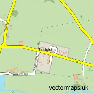
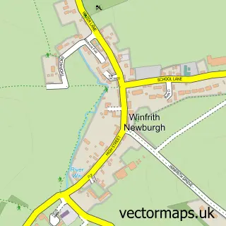
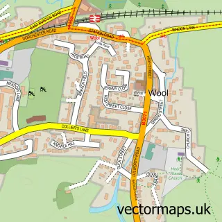
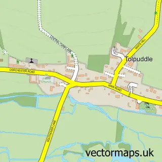
Nearby street map samples around Moreton
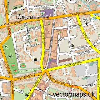

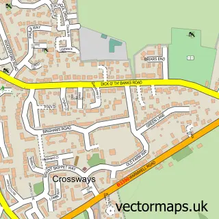
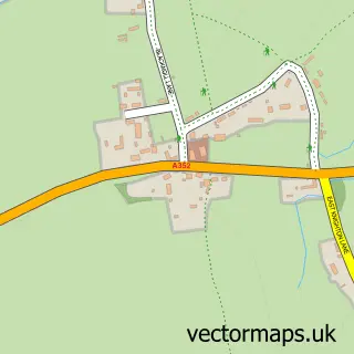
More street maps in Dorset
750 metre map area coverage
Boundary, postcode and point of interest information for the 750m x 750m rectangle centred on this sample map.
Boundaries containing map centre
Constituency: South Dorset Co Const
District: Dorset
Icb: NHS Dorset ICB
Parish: Moreton CP
Police Force: dorset
Postcode District: DT2
Postcode Sector: DT2 8
Ward: West Purbeck Ward
Nearby boundaries intersecting sample
No additional intersecting boundaries found.
Postcode coverage
POI category counts
Attractions And Activities: 2
Church Cathedral: 2
Equestrian Facility: 2
Anglican Church: 1
Cafe: 1
Campground: 1
Elementary School: 1
Funeral Services And Cemeteries: 1
Hotel: 1
Landmark And Historical Building: 1
Sample points of interest
- Moreton: St Nicholas
- Moreton Ford
- The Walled Garden
- The Dovecote Café
- Moreton Ford Campsite
- St Nicholas & Woodsford
- St Nicholas Church
- Employ My Ability - Moreton Campus
- Moreton Equestrian Centre
- Moreton Stables
- Lawrence of Arabias Grave
- The Manor House Supper Club
Create a larger editable map of Moreton
This sample shows only a 750 metre area. To create a larger map of Moreton, use our map builder to choose your own coverage area, add titles and download editable SVG, PDF and PNG files.
Create a custom map of Moreton