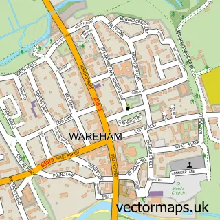
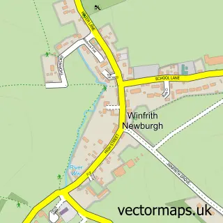
This Wool street map is a detailed vector street map covering a 750m x 750m area. Select a larger area to create and download your own vector street map of Wool.
The 750-metre map sample for Wool covers 299 mapped buildings and approximately 12.3 km of road detail, of which 22 named roads are named. The immediate area includes 2 schools, 1 railway station, 1 GP surgery and 2 pubs among other local services. The wider area around Wool features 3 food and drink venues and 6 campsites within 2 miles. To create a larger or custom map of Wool, the map builder lets you define your own coverage area and download editable SVG, PDF and PNG files.
Create a larger editable map of Wool
Choose any area you need and generate a high-quality vector map instantly. Perfect for print, planning, design, business and personal use.

This Wool street map in Dorset is available as downloadable SVG, PDF and PNG map files, or as a printed map for planning, business, display, education, local information and design work. You can also create a larger custom map area using the map selector.
What this Wool map sample shows
Wool lies within Wool Cp parish, part of West Purbeck ward in the Dorset local authority area. The postcode geography for this area includes the BH postcode area, the BH20 postcode district and the BH20 6 postcode sector. Residents fall under the Nhs Dorset Integrated Care Board for NHS services.
Local features near Wool
Within 2 milesAmenities and services in and around Wool.
Administrative and postcode information for Wool
Wool lies within Wool Cp parish, part of West Purbeck ward in the Dorset local authority area. The postcode geography for this area includes the BH postcode area, the BH20 postcode district and the BH20 6 postcode sector. Residents fall under the Nhs Dorset Integrated Care Board for NHS services.
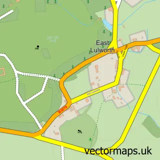
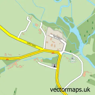
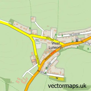
Nearby street map samples around Wool

More street maps in Dorset
750 metre map area coverage
Boundary, postcode and point of interest information for the 750m x 750m rectangle centred on this sample map.
Boundaries containing map centre
Constituency: South Dorset Co Const
District: Dorset
Icb: NHS Dorset ICB
Parish: Wool CP
Police Force: dorset
Postcode District: BH20
Postcode Sector: BH20 6
Ward: West Purbeck Ward
Nearby boundaries intersecting sample
No additional intersecting boundaries found.
Postcode coverage
POI category counts
Building Supply Store: 3
Community Center: 3
Doctor: 3
Bakery: 2
Bed And Breakfast: 2
Elementary School: 2
Pub: 2
Shipping Center: 2
Taxi Service: 2
Train Station: 2
Sample points of interest
- The Church of the Holy Rood
- The Dorset Flapjack Company
- Williams the Baker
- Blush Hair & Beauty
- Lulworth Cove Beach
- Fingle Bridge B&B
- Fingle Bridge Bed and Breakfast
- Four Electrical
- Heatwise Plumbing & Heating
- Stuart Palmer Plumbing
- Hand Carwash Wool
- Jurassic Coast Catering
Create a larger editable map of Wool
This sample shows only a 750 metre area. To create a larger map of Wool, use our map builder to choose your own coverage area, add titles and download editable SVG, PDF and PNG files.
Create a custom map of Wool