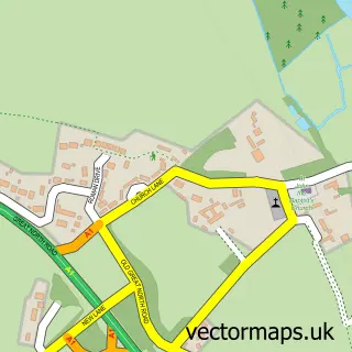
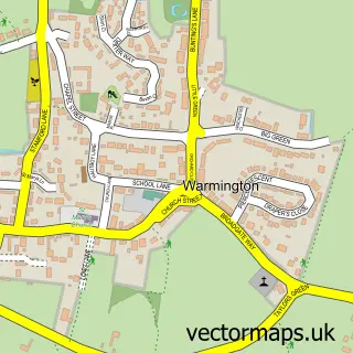
This Nassington street map is a detailed vector street map covering a 750m x 750m area. Select a larger area to create and download your own vector street map of Nassington.
The 750-metre map sample for Nassington covers 218 mapped buildings and approximately 6.7 km of road detail, of which 12 named roads are named. The immediate area includes 1 school, 1 GP surgery within 2 miles, 4 pubs and 1 MOT station within 2 miles. The wider area around Nassington features 1 tourism point of interest, 4 food and drink venues and 1 hotel. To create a larger or custom map of Nassington, the map builder lets you define your own coverage area and download editable SVG, PDF and PNG files.
Create a larger editable map of Nassington
Choose any area you need and generate a high-quality vector map instantly. Perfect for print, planning, design, business and personal use.

This Nassington street map in Northamptonshire is available as downloadable SVG, PDF and PNG map files, or as a printed map for planning, business, display, education, local information and design work. You can also create a larger custom map area using the map selector.
What this Nassington map sample shows
Nassington lies within Nassington Cp parish, part of Prebendal ward in the North Northamptonshire local authority area. The postcode geography for this area includes the PE postcode area, the PE8 postcode district and the PE8 6 postcode sector. Residents fall under the Nhs Northamptonshire Integrated Care Board for NHS services.
Local features near Nassington
Within 2 milesAmenities and services in and around Nassington.
Administrative and postcode information for Nassington
Nassington lies within Nassington Cp parish, part of Prebendal ward in the North Northamptonshire local authority area. The postcode geography for this area includes the PE postcode area, the PE8 postcode district and the PE8 6 postcode sector. Residents fall under the Nhs Northamptonshire Integrated Care Board for NHS services.
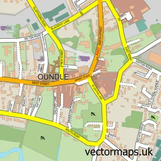
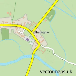
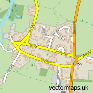
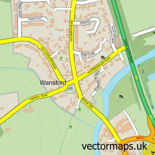
Nearby street map samples around Nassington


More street maps in Northamptonshire
750 metre map area coverage
Boundary, postcode and point of interest information for the 750m x 750m rectangle centred on this sample map.
Boundaries containing map centre
Constituency: Corby and East Northamptonshire Co Const
District: North Northamptonshire
Icb: NHS Northamptonshire ICB
Parish: Nassington CP
Police Force: northamptonshire
Postcode District: PE8
Postcode Sector: PE8 6
Ward: Oundle Ward
Nearby boundaries intersecting sample
No additional intersecting boundaries found.
Postcode coverage
POI category counts
Pub: 4
Caterer: 2
Korean Grocery Store: 2
Advertising Agency: 1
Anglican Church: 1
Beauty And Spa: 1
Butcher Shop: 1
Church Cathedral: 1
Community Center: 1
Community Services Non Profits: 1
Sample points of interest
- Myclubpromotion
- St Mary the Virgin & All Saints
- Dannii B’s Aesthetics
- J R G & S Mould Butchers
- The Rustic Caterer
- The Rustic Caterer
- Yarwell Parish Church
- Nassington Village Hall
- Nassington Village
- Londis LONDIS NASSINGTON
- Post Office Travel Money
- Nassington Pre School
Create a larger editable map of Nassington
This sample shows only a 750 metre area. To create a larger map of Nassington, use our map builder to choose your own coverage area, add titles and download editable SVG, PDF and PNG files.
Create a custom map of Nassington