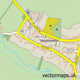
This Warmington street map is a detailed vector street map covering a 750m x 750m area. Select a larger area to create and download your own vector street map of Warmington.
The 750-metre map sample for Warmington covers 364 mapped buildings and approximately 12.5 km of road detail, of which 24 named roads are named. The immediate area includes 1 school and 1 pub. The wider area around Warmington features 1 food and drink venue. To create a larger or custom map of Warmington, the map builder lets you define your own coverage area and download editable SVG, PDF and PNG files.
Create a larger editable map of Warmington
Choose any area you need and generate a high-quality vector map instantly. Perfect for print, planning, design, business and personal use.

This Warmington street map in Northamptonshire is available as downloadable SVG, PDF and PNG map files, or as a printed map for planning, business, display, education, local information and design work. You can also create a larger custom map area using the map selector.
What this Warmington map sample shows
Warmington lies within Warmington Cp parish, part of Lower Nene ward in the North Northamptonshire local authority area. The postcode geography for this area includes the PE postcode area, the PE8 postcode district and the PE8 6 postcode sector. Residents fall under the Nhs Northamptonshire Integrated Care Board for NHS services.
Local features near Warmington
Within 2 milesAmenities and services in and around Warmington.
Administrative and postcode information for Warmington
The local authority covering Warmington is North Northamptonshire, within the county of Northamptonshire. The settlement lies within Lower Nene ward and Warmington Cp civil parish. The PE8 postcode district and PE8 6 postcode sector serve the immediate area. NHS provision in the area is delivered through North West Anglia Nhs Foundation Trust.
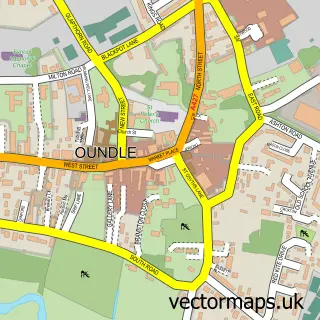
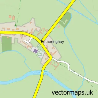
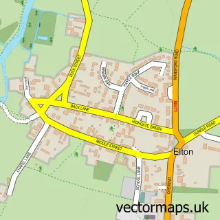
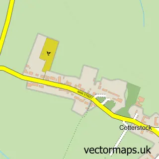
Nearby street map samples around Warmington

More street maps in Northamptonshire
750 metre map area coverage
Boundary, postcode and point of interest information for the 750m x 750m rectangle centred on this sample map.
Boundaries containing map centre
Constituency: Corby and East Northamptonshire Co Const
District: North Northamptonshire
Icb: NHS Northamptonshire ICB
Parish: Warmington CP
Police Force: northamptonshire
Postcode District: PE8
Postcode Sector: PE8 6
Ward: Oundle Ward
Nearby boundaries intersecting sample
No additional intersecting boundaries found.
Postcode coverage
POI category counts
Church Cathedral: 2
Convenience Store: 2
Anglican Church: 1
Appliance Repair Service: 1
Elementary School: 1
Employment Agencies: 1
Flowers And Gifts Shop: 1
Music Venue: 1
Playground: 1
Post Office: 1
Sample points of interest
- St Mary the Blessed Virgin
- Mow Mowers Services
- St Mary's Church
- Warmington Church
- Glebe Stores
- Londis Londis, Peterborough
- Warmington School
- Platform 6
- GivenMoment
- Telling Tales
- Warmington Play Park
- Warmington Post Office
Create a larger editable map of Warmington
This sample shows only a 750 metre area. To create a larger map of Warmington, use our map builder to choose your own coverage area, add titles and download editable SVG, PDF and PNG files.
Create a custom map of Warmington