Vector Maps logo
Home Why it works Popular maps Districts Samples Customizer Create Your Map
VectorMaps.uk
Home Popular maps Districts Samples Customizer Create Your Map Privacy Disclaimer
Home / UK Maps / Northamptonshire / Lutton Map

This Lutton street map is a detailed vector street map covering a 750m x 750m area. Select a larger area to create and download your own vector street map of Lutton.

Lutton is a village in Northamptonshire, in the East Midlands of England. The settlement falls within the Corby parliamentary constituency. It is served by the PE8 postcode district, with PE8 5 as the local postcode sector.

The 750-metre map sample for Lutton covers 70 mapped buildings and approximately 12.1 km of road detail. The wider area around Lutton features 2 tourism points of interest. To create a larger or custom map of Lutton, the map builder lets you define your own coverage area and download editable SVG, PDF and PNG files.

70Buildings
12.13 kmRoads
0Named roads
140Residents within 2 miles
Create your own

Create a larger editable map of Lutton

Choose any area you need and generate a high-quality vector map instantly. Perfect for print, planning, design, business and personal use.

Choose any location
Editable SVG files
Any size up to A0
PDF, PNG & more
Instant download
High quality guaranteed
Create My Custom Map
Secure, private & no credit card required
Lutton Vector Street Map
750m Sample
Lutton vector street map sample showing roads, buildings and local features in a 750 metre preview area
Buy Lutton Map Print from £12.95 Buy Lutton Digital Map from £6

This Lutton street map in Northamptonshire is available as downloadable SVG, PDF and PNG map files, or as a printed map for planning, business, display, education, local information and design work. You can also create a larger custom map area using the map selector.

What this Lutton map sample shows

Lutton lies within Lutton Cp parish, part of Lower Nene ward in the North Northamptonshire local authority area. The postcode geography for this area includes the PE postcode area, the PE8 postcode district and the PE8 5 postcode sector. Residents fall under the Nhs Northamptonshire Integrated Care Board for NHS services.

Local features near Lutton

Within 2 miles

Amenities and services in and around Lutton.

2 Tourism & leisure

Counts are approximate and based on publicly available data.

Administrative and postcode information for Lutton

Lutton lies within Lutton Cp parish, part of Lower Nene ward in the North Northamptonshire local authority area. The postcode geography for this area includes the PE postcode area, the PE8 postcode district and the PE8 5 postcode sector. Residents fall under the Nhs Northamptonshire Integrated Care Board for NHS services.

Parish Lutton CP
Ward Lower Nene
District / local authority North Northamptonshire
County Northamptonshire
Historic county Northamptonshire
Postcode district PE8
Postcode sector PE8 5
Parliamentary constituency Corby
Region East Midlands
Country England

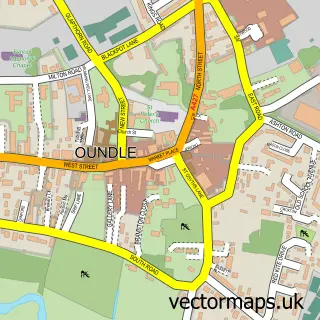
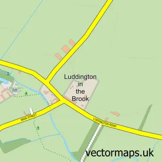
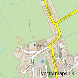
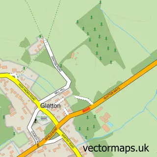
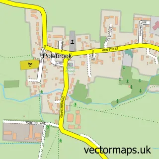
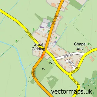
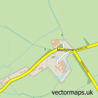
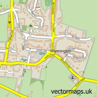
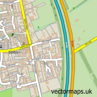
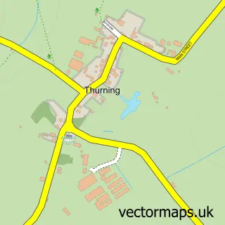
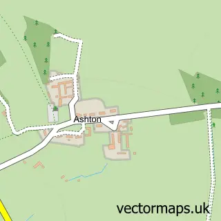
Nearby street map samples around Lutton

Street map sample of Oundle, Northamptonshire Oundle Town - Northamptonshire - 4.5 miles Street map sample of Peterborough, Cambridgeshire Peterborough City - Cambridgeshire - 8.4 miles Street map sample of Luddington in the Brook, Northamptonshire Luddington in the Brook Village - Northamptonshire - 2.5 miles Street map sample of Folksworth, Cambridgeshire Folksworth Village - Cambridgeshire - 2.5 miles Street map sample of Glatton, Cambridgeshire Glatton Village - Cambridgeshire - 2.7 miles Street map sample of Polebrook, Northamptonshire Polebrook Village - Northamptonshire - 2.8 miles Street map sample of Great Gidding, Cambridgeshire Great Gidding Village - Cambridgeshire - 2.9 miles Street map sample of Morborne, Cambridgeshire Morborne Village - Cambridgeshire - 2.9 miles Street map sample of Warmington, Northamptonshire Warmington Village - Northamptonshire - 3.0 miles Street map sample of Stilton, Cambridgeshire Stilton Village - Cambridgeshire - 3.3 miles

More street maps in Northamptonshire

Street map sample of Luddington in the Brook, Northamptonshire Luddington in the Brook Village - 2.5 miles Street map sample of Polebrook, Northamptonshire Polebrook Village - 2.8 miles Street map sample of Warmington, Northamptonshire Warmington Village - 3.0 miles Street map sample of Thurning, Northamptonshire Thurning Village - 3.3 miles Street map sample of Ashton, Northamptonshire Ashton Village - 3.5 miles

750 metre map area coverage

Boundary, postcode and point of interest information for the 750m x 750m rectangle centred on this sample map.

Boundaries containing map centre

Constituency: Corby and East Northamptonshire Co Const

District: North Northamptonshire

Icb: NHS Northamptonshire ICB

Parish: Lutton CP

Police Force: northamptonshire

Postcode District: PE8

Postcode Sector: PE8 5

Ward: Thrapston Ward

Nearby boundaries intersecting sample

No additional intersecting boundaries found.

Postcode coverage

PE8 PE8 5

POI category counts

Anglican Church: 1

Community Center: 1

Farm: 1

Farming Services: 1

Financial Service: 1

Landmark And Historical Building: 1

Park: 1

Sample points of interest

  • St Peter Lutton Anglican Church
  • Lutton Village Hall Community Center
  • Woodbine Reindeer Hire Farm
  • Anglia Grain Services Ltd. Farming Services
  • Capix Financial Service
  • Lutton, Northamptonshire Landmark And Historical Building
  • Milton Park, Milton House, Lutton, Peterborough Park

Create a larger editable map of Lutton

This sample shows only a 750 metre area. To create a larger map of Lutton, use our map builder to choose your own coverage area, add titles and download editable SVG, PDF and PNG files.

Create a custom map of Lutton

Phone 01751 473136 | Copyright Vectormaps.uk 2026

Samples Customizer Privacy Disclaimer
Lutton Vector Street Map
Lutton enlarged street map sample showing a 750 metre preview area