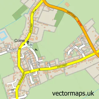
This Needingworth street map is a detailed vector street map covering a 750m x 750m area. Select a larger area to create and download your own vector street map of Needingworth.
The 750-metre map sample for Needingworth covers 455 mapped buildings and approximately 15.3 km of road detail, of which 23 named roads are named. The immediate area includes 1 school, 2 GP surgeries within 2 miles, 1 pub and 1 MOT station, with 11 within 2 miles. The wider area around Needingworth features 2 food and drink venues. To create a larger or custom map of Needingworth, the map builder lets you define your own coverage area and download editable SVG, PDF and PNG files.
Create a larger editable map of Needingworth
Choose any area you need and generate a high-quality vector map instantly. Perfect for print, planning, design, business and personal use.

This Needingworth street map in Cambridgeshire is available as downloadable SVG, PDF and PNG map files, or as a printed map for planning, business, display, education, local information and design work. You can also create a larger custom map area using the map selector.
What this Needingworth map sample shows
Needingworth lies within Holywell-Cum-Needingworth Cp parish, part of Holywell-Cum-Needingworth ward in the Huntingdonshire District local authority area. The postcode geography for this area includes the PE postcode area, the PE27 postcode district and the PE27 4 postcode sector. Residents fall under the Nhs Cambridgeshire And Peterborough Integrated Care Board for NHS services.
Local features near Needingworth
Within 2 milesAmenities and services in and around Needingworth.
Administrative and postcode information for Needingworth
The local authority covering Needingworth is Huntingdonshire District, within the county of Cambridgeshire. The settlement lies within Holywell-Cum-Needingworth ward and Holywell-Cum-Needingworth Cp civil parish. The PE27 postcode district and PE27 4 postcode sector serve the immediate area. NHS provision in the area is delivered through North West Anglia Nhs Foundation Trust.
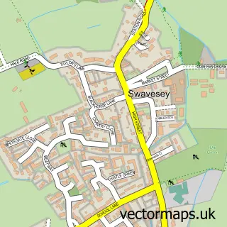
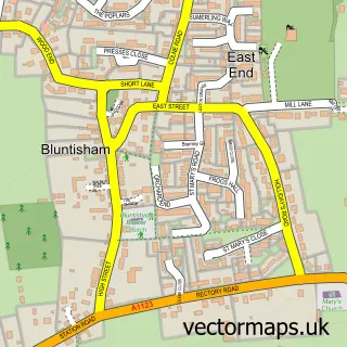
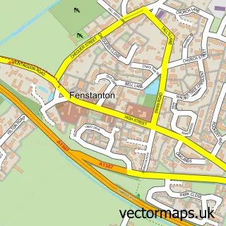
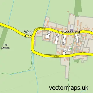
Nearby street map samples around Needingworth

More street maps in Cambridgeshire
750 metre map area coverage
Boundary, postcode and point of interest information for the 750m x 750m rectangle centred on this sample map.
Boundaries containing map centre
Constituency: Huntingdon Co Const
County: Cambridgeshire County
District: Huntingdonshire District
Icb: NHS Central East ICB
Parish: Holywell-cum-Needingworth CP
Police Force: cambridgeshire
Postcode District: PE27
Postcode Sector: PE27 4
Ward: Holywell-cum-Needingworth Ward
Nearby boundaries intersecting sample
No additional intersecting boundaries found.
Postcode coverage
POI category counts
Business Management Services: 3
Convenience Store: 2
Financial Service: 2
It Service And Computer Repair: 2
Amateur Sports Team: 1
Automotive Repair: 1
Baptist Church: 1
Bar: 1
Bicycle Shop: 1
Cafe: 1
Sample points of interest
- Needingworth Colts Football Club
- Binnie & Juggins
- Needingworth Baptist Church
- The Queens Head
- Pit Bike Cambs - Tcb Uk
- Encompass Safety Solutions Ltd.
- Needingworth Post Office
- Post Office-Needingworth
- Chatters Community Cafe
- CP Multi Trade
- Cambridge Flooring Direct
- Needingworth Village Hall Trust
Create a larger editable map of Needingworth
This sample shows only a 750 metre area. To create a larger map of Needingworth, use our map builder to choose your own coverage area, add titles and download editable SVG, PDF and PNG files.
Create a custom map of Needingworth