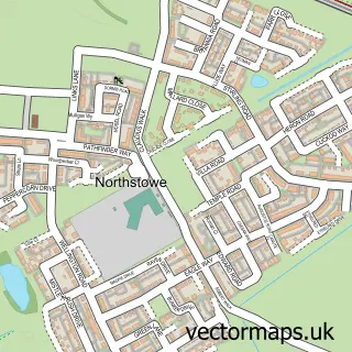
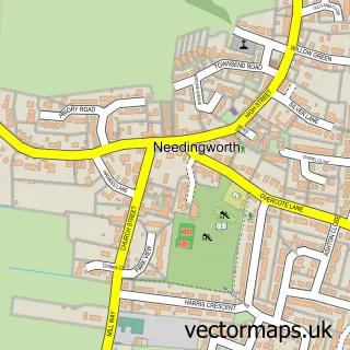
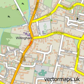
This Swavesey street map is a detailed vector street map covering a 750m x 750m area. Select a larger area to create and download your own vector street map of Swavesey.
The 750-metre map sample for Swavesey covers 426 mapped buildings and approximately 13.4 km of road detail, of which 23 named roads are named. The immediate area includes 2 GP surgeries within 2 miles, 2 pubs and 4 MOT stations within 2 miles. The wider area around Swavesey features 1 tourism point of interest and 4 food and drink venues. To create a larger or custom map of Swavesey, the map builder lets you define your own coverage area and download editable SVG, PDF and PNG files.
Create a larger editable map of Swavesey
Choose any area you need and generate a high-quality vector map instantly. Perfect for print, planning, design, business and personal use.

This Swavesey street map in Cambridgeshire is available as downloadable SVG, PDF and PNG map files, or as a printed map for planning, business, display, education, local information and design work. You can also create a larger custom map area using the map selector.
What this Swavesey map sample shows
Swavesey lies within Swavesey Cp parish, part of Swavesey ward in the South Cambridgeshire District local authority area. The postcode geography for this area includes the CB postcode area, the CB24 postcode district and the CB24 4 postcode sector. Residents fall under the Nhs Cambridgeshire And Peterborough Integrated Care Board for NHS services.
Local features near Swavesey
Within 2 milesAmenities and services in and around Swavesey.
Administrative and postcode information for Swavesey
The local authority covering Swavesey is South Cambridgeshire District, within the county of Cambridgeshire. The settlement lies within Swavesey ward and Swavesey Cp civil parish. The CB24 postcode district and CB24 4 postcode sector serve the immediate area. NHS provision in the area is delivered through Cambridge University Hospitals Nhs Foundation Trust.
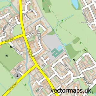
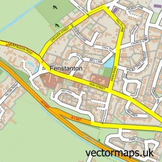
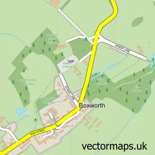
Nearby street map samples around Swavesey

More street maps in Cambridgeshire
750 metre map area coverage
Boundary, postcode and point of interest information for the 750m x 750m rectangle centred on this sample map.
Boundaries containing map centre
Constituency: St. Neots and Mid Cambridgeshire Co Const
County: Cambridgeshire County
District: South Cambridgeshire District
Icb: NHS Central East ICB
Parish: Swavesey CP
Police Force: cambridgeshire
Postcode District: CB24
Postcode Sector: CB24 4
Ward: Swavesey Ward
Nearby boundaries intersecting sample
No additional intersecting boundaries found.
Postcode coverage
POI category counts
It Service And Computer Repair: 4
Advertising Agency: 2
Automotive Dealer: 2
Hvac Services: 2
Pub: 2
Accountant: 1
Art Gallery: 1
Arts And Entertainment: 1
Attractions And Activities: 1
Broadcasting Media Production: 1
Sample points of interest
- Langley and Co Accountants
- Debug Innovations
- Minett Media
- Eyes Wide Closed Hypnotherapy
- Panic Music Services
- Swavesey Community Orchard
- C & V Cars
- Swavesey Garage
- The Cat and Mouse Film Company
- Faben Joinery
- Alan's Carpets
- Davies Catering
Create a larger editable map of Swavesey
This sample shows only a 750 metre area. To create a larger map of Swavesey, use our map builder to choose your own coverage area, add titles and download editable SVG, PDF and PNG files.
Create a custom map of Swavesey