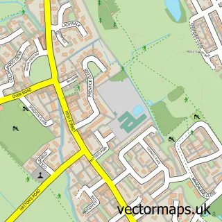
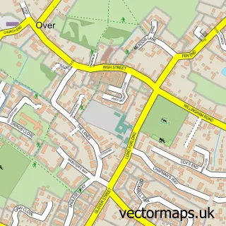
This Northstowe street map is a detailed vector street map covering a 750m x 750m area. Select a larger area to create and download your own vector street map of Northstowe.
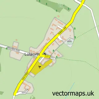
The 750-metre map sample for Northstowe covers 654 mapped buildings and approximately 21.4 km of road detail, of which 24 named roads are named. The immediate area includes 1 school, 1 GP surgery within 2 miles and 4 MOT stations within 2 miles. To create a larger or custom map of Northstowe, the map builder lets you define your own coverage area and download editable SVG, PDF and PNG files.
Create a larger editable map of Northstowe
Choose any area you need and generate a high-quality vector map instantly. Perfect for print, planning, design, business and personal use.

This Northstowe street map in Cambridgeshire is available as downloadable SVG, PDF and PNG map files, or as a printed map for planning, business, display, education, local information and design work. You can also create a larger custom map area using the map selector.
What this Northstowe map sample shows
Northstowe lies within Longstanton Cp parish, part of Longstanton ward in the South Cambridgeshire District local authority area. The postcode geography for this area includes the CB postcode area, the CB24 postcode district and the CB24 3 postcode sector. Residents fall under the Nhs Cambridgeshire And Peterborough Integrated Care Board for NHS services.
Local features near Northstowe
Within 2 milesAmenities and services in and around Northstowe.
Administrative and postcode information for Northstowe
The local authority covering Northstowe is South Cambridgeshire District, within the county of Cambridgeshire. The settlement lies within Longstanton ward and Longstanton Cp civil parish. The CB24 postcode district and CB24 3 postcode sector serve the immediate area. NHS provision in the area is delivered through Cambridge University Hospitals Nhs Foundation Trust.
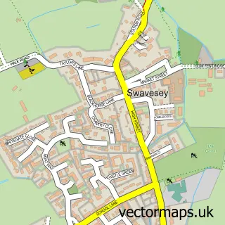
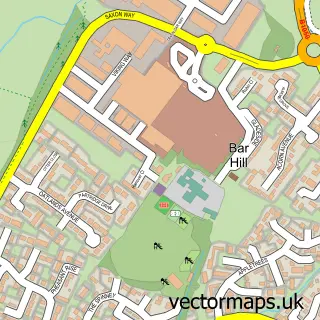
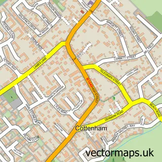
Nearby street map samples around Northstowe

More street maps in Cambridgeshire
750 metre map area coverage
Boundary, postcode and point of interest information for the 750m x 750m rectangle centred on this sample map.
Boundaries containing map centre
Constituency: St. Neots and Mid Cambridgeshire Co Const
County: Cambridgeshire County
District: South Cambridgeshire District
Icb: NHS Central East ICB
Parish: Northstowe CP
Police Force: cambridgeshire
Postcode District: CB24
Postcode Sector: CB24 3
Ward: Longstanton Ward
Nearby boundaries intersecting sample
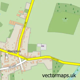
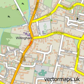
Parish: Willingham CP
Postcode coverage
POI category counts
Martial Arts Club: 2
Anglican Church: 1
Bakery: 1
Beauty And Spa: 1
Church Cathedral: 1
Dog Trainer: 1
Food Banks: 1
Gym: 1
Home Goods Store: 1
Painting: 1
Sample points of interest
- Northstowe Church Network (Pathfinder Church, Little Explorers, Compline Community...)
- Kookie
- Northstowe Nails by Dee
- Pathfinder Church
- KF Dogs
- Cambridge City
- Bounce Northstowe
- Stanley & Floyd
- Adrenaline Martial Arts Northstowe
- Northstowe Karate Club
- PDS Decorating
- Northstowe Bouncy Castles
Create a larger editable map of Northstowe
This sample shows only a 750 metre area. To create a larger map of Northstowe, use our map builder to choose your own coverage area, add titles and download editable SVG, PDF and PNG files.
Create a custom map of Northstowe