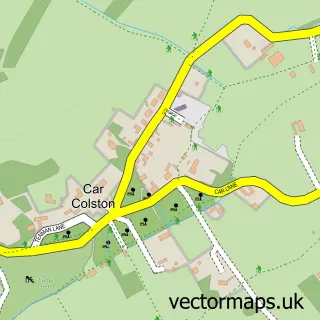
This Newton street map is a detailed vector street map covering a 750m x 750m area. Select a larger area to create and download your own vector street map of Newton.
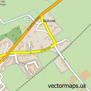
The 750-metre map sample for Newton covers 145 mapped buildings and approximately 10.5 km of road detail, of which 5 named roads are named. The immediate area includes 1 GP surgery within 2 miles and 4 MOT stations within 2 miles. The wider area around Newton features 1 campsite within 2 miles. To create a larger or custom map of Newton, the map builder lets you define your own coverage area and download editable SVG, PDF and PNG files.
Create a larger editable map of Newton
Choose any area you need and generate a high-quality vector map instantly. Perfect for print, planning, design, business and personal use.

This Newton street map in Nottinghamshire is available as downloadable SVG, PDF and PNG map files, or as a printed map for planning, business, display, education, local information and design work. You can also create a larger custom map area using the map selector.
What this Newton map sample shows
Newton lies within Newton Cp parish, part of East Bridgford ward in the Rushcliffe District (B) local authority area. The postcode geography for this area includes the NG postcode area, the NG13 postcode district and the NG13 8 postcode sector. Residents fall under the Nhs Nottingham And Nottinghamshire Integrated Care Board for NHS services.
Local features near Newton
Within 2 milesAmenities and services in and around Newton.
Administrative and postcode information for Newton
The local authority covering Newton is Rushcliffe District (B), within the county of Nottinghamshire. The settlement lies within East Bridgford ward and Newton Cp civil parish. The NG13 postcode district and NG13 8 postcode sector serve the immediate area. NHS provision in the area is delivered through Nottingham University Hospitals Nhs Trust.
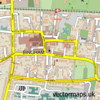
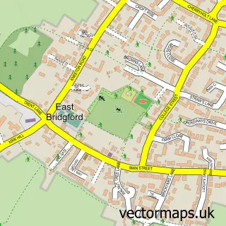
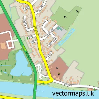
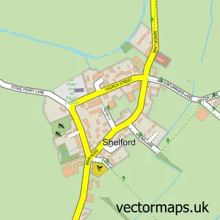
Nearby street map samples around Newton

More street maps in Nottinghamshire
750 metre map area coverage
Boundary, postcode and point of interest information for the 750m x 750m rectangle centred on this sample map.
Boundaries containing map centre
Constituency: Newark Co Const
County: Nottinghamshire County
District: Rushcliffe District (B)
Icb: NHS Nottingham and Nottinghamshire ICB
Parish: Newton CP
Police Force: nottinghamshire
Postcode District: NG13
Postcode Sector: NG13 8
Ward: Newton Ward
Nearby boundaries intersecting sample
Postcode District: NG12
Postcode Sector: NG12 1
Postcode coverage
POI category counts
Driving School: 4
Pet Services: 2
Arts And Crafts: 1
Car Dealer: 1
Construction Services: 1
Fence And Gate Sales Service: 1
Gardener: 1
Hair Salon: 1
Massage Therapy: 1
Pop Up Shop: 1
Sample points of interest
- Sail & Trail
- Retro Sports & 4x4 Co Vehicle Movements & Sales
- DRL Building & Groundworks Ltd
- Blackwells Driver Training
- Blackwells Driving Tuition
- Ian Markwick Driver Training
- Ian Markwick Driver Training
- Fencestallation
- Jaks Gardening
- The Sanctuary
- Muscle Revitalise
- Maddy's Mutts
Create a larger editable map of Newton
This sample shows only a 750 metre area. To create a larger map of Newton, use our map builder to choose your own coverage area, add titles and download editable SVG, PDF and PNG files.
Create a custom map of Newton