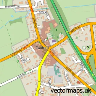
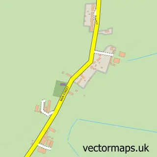
This Normanton on Trent street map is a detailed vector street map covering a 750m x 750m area. Select a larger area to create and download your own vector street map of Normanton on Trent.
The 750-metre map sample for Normanton on Trent covers 204 mapped buildings and approximately 12.8 km of road detail, of which 11 named roads are named. The immediate area includes 1 GP surgery within 2 miles and 2 pubs. The wider area around Normanton on Trent features 2 food and drink venues. To create a larger or custom map of Normanton on Trent, the map builder lets you define your own coverage area and download editable SVG, PDF and PNG files.
Create a larger editable map of Normanton on Trent
Choose any area you need and generate a high-quality vector map instantly. Perfect for print, planning, design, business and personal use.

This Normanton on Trent street map in Nottinghamshire is available as downloadable SVG, PDF and PNG map files, or as a printed map for planning, business, display, education, local information and design work. You can also create a larger custom map area using the map selector.
What this Normanton on Trent map sample shows
Normanton on Trent lies within Normanton On Trent Cp parish, part of Tuxford And Trent ward in the Bassetlaw District local authority area. The postcode geography for this area includes the NG postcode area, the NG23 postcode district and the NG23 6 postcode sector. Residents fall under the Nhs Nottingham And Nottinghamshire Integrated Care Board for NHS services.
Local features near Normanton on Trent
Within 2 milesAmenities and services in and around Normanton on Trent.
Administrative and postcode information for Normanton on Trent
The local authority covering Normanton on Trent is Bassetlaw District, within the county of Nottinghamshire. The settlement lies within Tuxford And Trent ward and Normanton On Trent Cp civil parish. The NG23 postcode district and NG23 6 postcode sector serve the immediate area. NHS provision in the area is delivered through Doncaster And Bassetlaw Teaching Hospitals Nhs Foundation Trust.
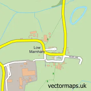
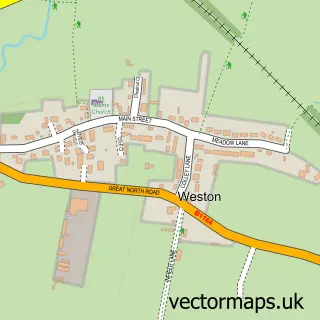
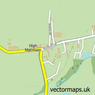
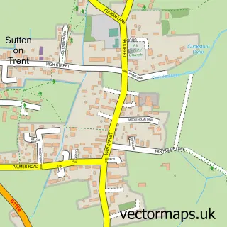
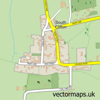
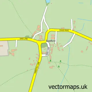
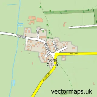
Nearby street map samples around Normanton on Trent

More street maps in Nottinghamshire
750 metre map area coverage
Boundary, postcode and point of interest information for the 750m x 750m rectangle centred on this sample map.
Boundaries containing map centre
Constituency: Newark Co Const
County: Nottinghamshire County
District: Bassetlaw District
Icb: NHS Nottingham and Nottinghamshire ICB
Parish: Normanton on Trent CP
Police Force: nottinghamshire
Postcode District: NG23
Postcode Sector: NG23 6
Ward: Tuxford and Trent Ward
Nearby boundaries intersecting sample
Parish: Marnham CP
Postcode coverage
POI category counts
Pub: 2
Art School: 1
Building Supply Store: 1
Church Cathedral: 1
Dog Walkers: 1
Pet Services: 1
Pet Store: 1
Pets: 1
Physical Therapy: 1
Recycling Center: 1
Sample points of interest
- Metamorphosis Sculpture
- Cgb Tree & Fencing Services
- St Matthew's Church
- Wendy Hill Dog Training
- Border Farm Boarding Kennels & Groom Room
- Wendy Hill Dog Training
- Ichthus Canine Centre - Southwell
- Kate Dixon Physiotherapy
- Crown Inn
- Square and Compass
- British Heart Foundation
Create a larger editable map of Normanton on Trent
This sample shows only a 750 metre area. To create a larger map of Normanton on Trent, use our map builder to choose your own coverage area, add titles and download editable SVG, PDF and PNG files.
Create a custom map of Normanton on Trent