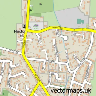
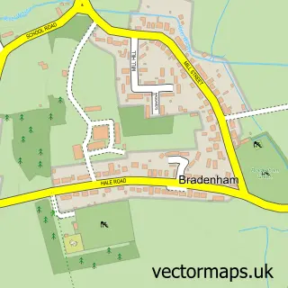
This North Pickenham street map is a detailed vector street map covering a 750m x 750m area. Select a larger area to create and download your own vector street map of North Pickenham.
The 750-metre map sample for North Pickenham covers 203 mapped buildings and approximately 8.5 km of road detail, of which 7 named roads are named. The immediate area includes 1 pub and 1 MOT station within 2 miles. The wider area around North Pickenham features 1 tourism point of interest, 1 food and drink venue and 1 campsite within 2 miles. To create a larger or custom map of North Pickenham, the map builder lets you define your own coverage area and download editable SVG, PDF and PNG files.
Create a larger editable map of North Pickenham
Choose any area you need and generate a high-quality vector map instantly. Perfect for print, planning, design, business and personal use.

This North Pickenham street map in Norfolk is available as downloadable SVG, PDF and PNG map files, or as a printed map for planning, business, display, education, local information and design work. You can also create a larger custom map area using the map selector.
What this North Pickenham map sample shows
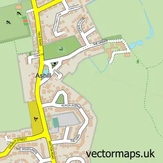
North Pickenham lies within North Pickenham Cp parish, part of Ashill ward in the Breckland District local authority area. The postcode geography for this area includes the PE postcode area, the PE37 postcode district and the PE37 8 postcode sector. Residents fall under the Nhs Norfolk And Waveney Integrated Care Board for NHS services.
Local features near North Pickenham
Within 2 milesAmenities and services in and around North Pickenham.
Administrative and postcode information for North Pickenham
The local authority covering North Pickenham is Breckland District, within the county of Norfolk. The settlement lies within Ashill ward and North Pickenham Cp civil parish. The PE37 postcode district and PE37 8 postcode sector serve the immediate area. NHS provision in the area is delivered through Norfolk And Norwich University Hospitals Nhs Foundation Trust.
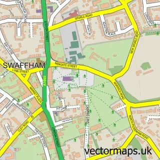
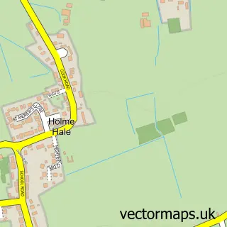
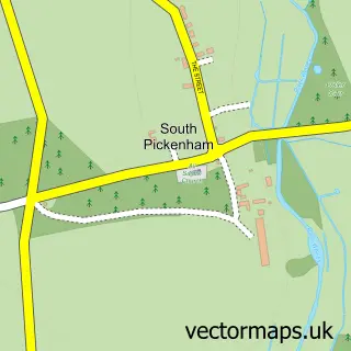
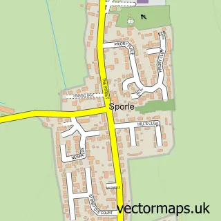
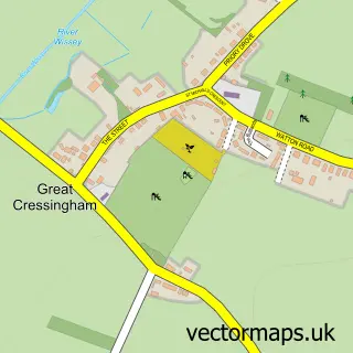
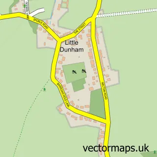
Nearby street map samples around North Pickenham

More street maps in Norfolk
750 metre map area coverage
Boundary, postcode and point of interest information for the 750m x 750m rectangle centred on this sample map.
Boundaries containing map centre
Constituency: South West Norfolk Co Const
County: Norfolk County
District: Breckland District
Icb: NHS Norfolk and Waveney ICB
Parish: North Pickenham CP
Police Force: norfolk
Postcode District: PE37
Postcode Sector: PE37 8
Ward: Ashill Ward
Nearby boundaries intersecting sample
No additional intersecting boundaries found.
Postcode coverage
POI category counts
Anglican Church: 1
Caterer: 1
Fast Food Restaurant: 1
Janitorial Services: 1
Landmark And Historical Building: 1
Landscape Architect: 1
Massage Therapy: 1
Nursery And Gardening: 1
Pub: 1
School: 1
Sample points of interest
- North Pickenham: St Andrew
- Dit's Catering Ltd
- Stace & Dits Fish & Chip Van
- Consultme 4 E B M Ltd.
- Houghton on the Hill, Norfolk
- TTSR Ltd.
- Sian James Holistic
- Haydn eagle
- The Blue Lion
- Memories of St Andrew's Primary North Pickenham
Create a larger editable map of North Pickenham
This sample shows only a 750 metre area. To create a larger map of North Pickenham, use our map builder to choose your own coverage area, add titles and download editable SVG, PDF and PNG files.
Create a custom map of North Pickenham