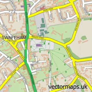
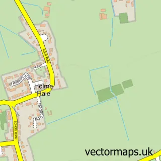
This Sporle street map is a detailed vector street map covering a 750m x 750m area. Select a larger area to create and download your own vector street map of Sporle.
The 750-metre map sample for Sporle covers 296 mapped buildings and approximately 10.0 km of road detail, of which 9 named roads are named. The immediate area includes 2 pubs. The wider area around Sporle features 1 tourism point of interest and 2 food and drink venues. To create a larger or custom map of Sporle, the map builder lets you define your own coverage area and download editable SVG, PDF and PNG files.
Create a larger editable map of Sporle
Choose any area you need and generate a high-quality vector map instantly. Perfect for print, planning, design, business and personal use.

This Sporle street map in Norfolk is available as downloadable SVG, PDF and PNG map files, or as a printed map for planning, business, display, education, local information and design work. You can also create a larger custom map area using the map selector.
What this Sporle map sample shows
Sporle lies within Sporle With Palgrave Cp parish, part of Nar Valley ward in the Breckland District local authority area. The postcode geography for this area includes the PE postcode area, the PE32 postcode district and the PE32 2 postcode sector. Residents fall under the Nhs Norfolk And Waveney Integrated Care Board for NHS services.
Local features near Sporle
Within 2 milesAmenities and services in and around Sporle.
Administrative and postcode information for Sporle
Sporle lies within Sporle With Palgrave Cp parish, part of Nar Valley ward in the Breckland District local authority area. The postcode geography for this area includes the PE postcode area, the PE32 postcode district and the PE32 2 postcode sector. Residents fall under the Nhs Norfolk And Waveney Integrated Care Board for NHS services.
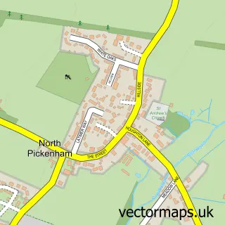
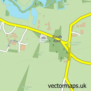
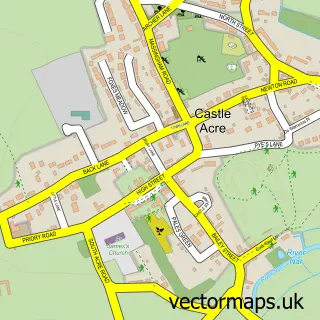
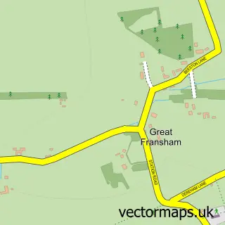
Nearby street map samples around Sporle

More street maps in Norfolk
750 metre map area coverage
Boundary, postcode and point of interest information for the 750m x 750m rectangle centred on this sample map.
Boundaries containing map centre
Constituency: South West Norfolk Co Const
County: Norfolk County
District: Breckland District
Icb: NHS Norfolk and Waveney ICB
Parish: Sporle with Palgrave CP
Police Force: norfolk
Postcode District: PE32
Postcode Sector: PE32 2
Ward: Nar Valley Ward
Nearby boundaries intersecting sample
No additional intersecting boundaries found.
Postcode coverage
POI category counts
Post Office: 2
Pub: 2
Anglican Church: 1
Architectural Designer: 1
Beauty Salon: 1
Convenience Store: 1
Dj Service: 1
Food Delivery Service: 1
It Service And Computer Repair: 1
Landmark And Historical Building: 1
Sample points of interest
- Sporle: St Mary
- White Ash Design
- The Little Hair Shop
- Threeways Store Sporle
- Mobile Disco Network
- Evri ParcelShop
- Micro Data Komputers
- Sporle with Palgrave
- Threeways Garden Centre Sporle
- Top Dogs 4 U
- Norfolk Plumbing and Drainage
- Post Office
Create a larger editable map of Sporle
This sample shows only a 750 metre area. To create a larger map of Sporle, use our map builder to choose your own coverage area, add titles and download editable SVG, PDF and PNG files.
Create a custom map of Sporle