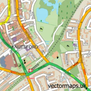
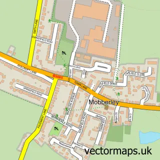
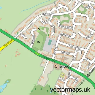
This Ollerton street map is a detailed vector street map covering a 750m x 750m area. Select a larger area to create and download your own vector street map of Ollerton.
The 750-metre map sample for Ollerton covers 107 mapped buildings and approximately 9.5 km of road detail, of which 9 named roads are named. The immediate area includes 1 pub and 5 MOT stations within 2 miles. The wider area around Ollerton features 1 food and drink venue. To create a larger or custom map of Ollerton, the map builder lets you define your own coverage area and download editable SVG, PDF and PNG files.
Create a larger editable map of Ollerton
Choose any area you need and generate a high-quality vector map instantly. Perfect for print, planning, design, business and personal use.

This Ollerton street map in Cheshire is available as downloadable SVG, PDF and PNG map files, or as a printed map for planning, business, display, education, local information and design work. You can also create a larger custom map area using the map selector.
What this Ollerton map sample shows
Ollerton lies within Ollerton Cp parish, part of Chelford ward in the Cheshire East (B) local authority area. The postcode geography for this area includes the WA postcode area, the WA16 postcode district and the WA16 8 postcode sector. Residents fall under the Nhs Cheshire And Merseyside Integrated Care Board for NHS services.
Local features near Ollerton
Within 2 milesAmenities and services in and around Ollerton.
Administrative and postcode information for Ollerton
The local authority covering Ollerton is Cheshire East (B), within the county of Cheshire. The settlement lies within Chelford ward and Ollerton Cp civil parish. The WA16 postcode district and WA16 8 postcode sector serve the immediate area. NHS provision in the area is delivered through Manchester University Nhs Foundation Trust.
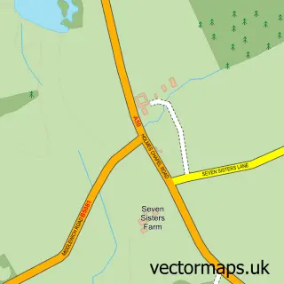
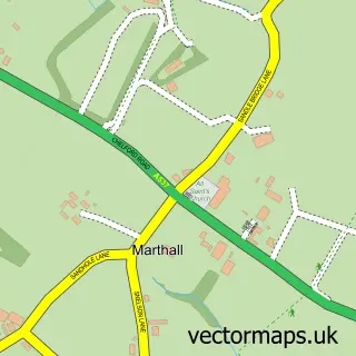
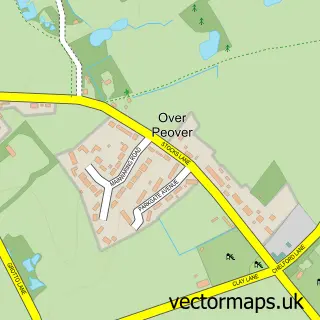
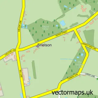
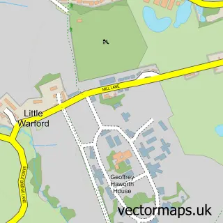
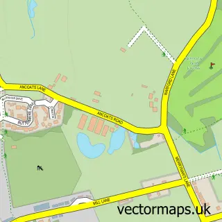
Nearby street map samples around Ollerton

More street maps in Cheshire
750 metre map area coverage
Boundary, postcode and point of interest information for the 750m x 750m rectangle centred on this sample map.
Boundaries containing map centre
Constituency: Tatton Co Const
District: Cheshire East (B)
Icb: NHS Cheshire and Merseyside ICB
Parish: Ollerton CP
Police Force: cheshire
Postcode District: WA16
Postcode Sector: WA16 8
Ward: Chelford Ward
Nearby boundaries intersecting sample
Parish: Knutsford CP
Ward: Knutsford Ward
Postcode coverage
POI category counts
Automotive Repair: 2
Home Decor: 2
Financial Service: 1
Interior Design: 1
Kitchen Remodeling: 1
Laundry Services: 1
Pub: 1
Tree Services: 1
Sample points of interest
- Farringtons
- Trevor Farrington
- Morfitt & Turnbull
- Fired Earth
- UBER Interiors
- Design By Uber
- Mason Kitchens of Cheshire
- Knutsford Express Ironing
- Dun Cow
- Sean Corcoran Craftsmen Tree Surgeons
Create a larger editable map of Ollerton
This sample shows only a 750 metre area. To create a larger map of Ollerton, use our map builder to choose your own coverage area, add titles and download editable SVG, PDF and PNG files.
Create a custom map of Ollerton