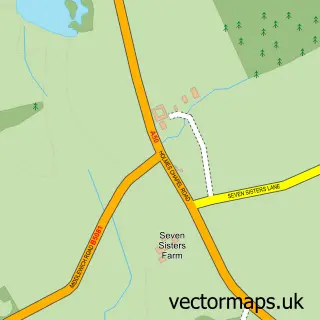
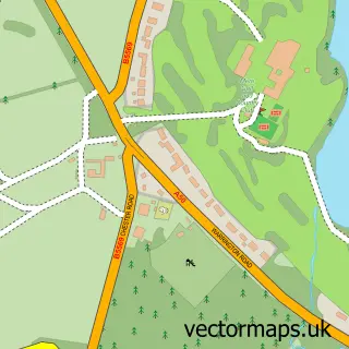
This Knutsford street map is a detailed vector street map covering a 750m x 750m area. Select a larger area to create and download your own vector street map of Knutsford.
The 750-metre map sample for Knutsford covers 344 mapped buildings and approximately 19.9 km of road detail, of which 50 named roads are named. The immediate area includes 1 railway station, 1 GP surgery within 2 miles, 11 pubs and 1 MOT station, with 5 within 2 miles. The wider area around Knutsford features 7 tourism points of interest, 37 food and drink venues and 1 hotel. To create a larger or custom map of Knutsford, the map builder lets you define your own coverage area and download editable SVG, PDF and PNG files.
Create a larger editable map of Knutsford
Choose any area you need and generate a high-quality vector map instantly. Perfect for print, planning, design, business and personal use.

This Knutsford street map in Cheshire is available as downloadable SVG, PDF and PNG map files, or as a printed map for planning, business, display, education, local information and design work. You can also create a larger custom map area using the map selector.
What this Knutsford map sample shows
Knutsford lies within Knutsford Cp parish, part of Knutsford ward in the Cheshire East (B) local authority area. The postcode geography for this area includes the WA postcode area, the WA16 postcode district and the WA16 8 postcode sector. Residents fall under the Nhs Cheshire And Merseyside Integrated Care Board for NHS services.
Local features near Knutsford
Within 2 milesAmenities and services in and around Knutsford.
Administrative and postcode information for Knutsford
The local authority covering Knutsford is Cheshire East (B), within the county of Cheshire. The settlement lies within Knutsford ward and Knutsford Cp civil parish. The WA16 postcode district and WA16 8 postcode sector serve the immediate area. NHS provision in the area is delivered through East Cheshire Nhs Trust.
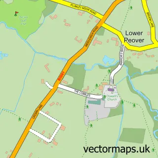
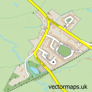
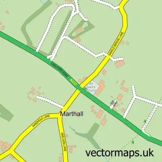
Nearby street map samples around Knutsford


More street maps in Cheshire
750 metre map area coverage
Boundary, postcode and point of interest information for the 750m x 750m rectangle centred on this sample map.
Boundaries containing map centre
Constituency: Tatton Co Const
District: Cheshire East (B)
Icb: NHS Cheshire and Merseyside ICB
Parish: Knutsford CP
Police Force: cheshire
Postcode District: WA16
Postcode Sector: WA16 6
Ward: Knutsford Ward
Nearby boundaries intersecting sample
Postcode Sector: WA16 0, WA16 8, WA16 9
Postcode coverage
POI category counts
Beauty Salon: 17
Real Estate Agent: 16
Cafe: 11
Clothing Store: 11
Pub: 11
Hair Salon: 10
Financial Service: 9
Gym: 9
Professional Services: 9
Building Supply Store: 8
Sample points of interest
- Axel Chartered Accountants
- Matix Accounts Limited
- The Ham Partnership
- Carrot Banana Peach
- 438 Marketing
- Bella Design and Marketing
- Blue Apple Education
- Boxed Red Marketing
- Incheshire Magazine
- Linchpin Marketing
- PPC Geeks
- ACS Consulting
Create a larger editable map of Knutsford
This sample shows only a 750 metre area. To create a larger map of Knutsford, use our map builder to choose your own coverage area, add titles and download editable SVG, PDF and PNG files.
Create a custom map of Knutsford