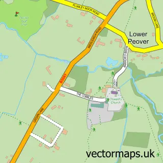
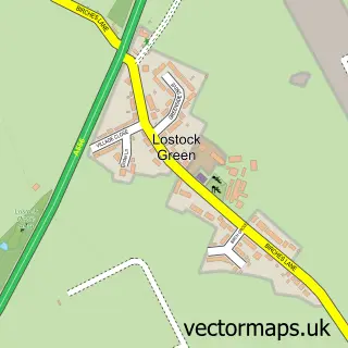
This Plumley street map is a detailed vector street map covering a 750m x 750m area. Select a larger area to create and download your own vector street map of Plumley.
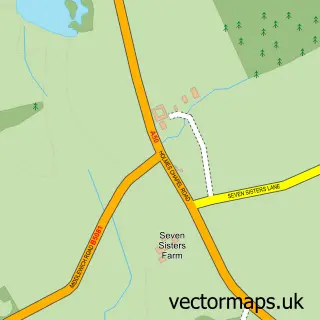
The 750-metre map sample for Plumley covers 152 mapped buildings and approximately 7.9 km of road detail, of which 10 named roads are named. To create a larger or custom map of Plumley, the map builder lets you define your own coverage area and download editable SVG, PDF and PNG files.
Create a larger editable map of Plumley
Choose any area you need and generate a high-quality vector map instantly. Perfect for print, planning, design, business and personal use.

This Plumley street map in Cheshire is available as downloadable SVG, PDF and PNG map files, or as a printed map for planning, business, display, education, local information and design work. You can also create a larger custom map area using the map selector.
What this Plumley map sample shows
Plumley lies within Plumley Cp parish, part of Chelford ward in the Cheshire East (B) local authority area. The postcode geography for this area includes the WA postcode area, the WA16 postcode district and the WA16 9 postcode sector. Residents fall under the Nhs Cheshire And Merseyside Integrated Care Board for NHS services.
Administrative and postcode information for Plumley
The local authority covering Plumley is Cheshire East (B), within the county of Cheshire. The settlement lies within Chelford ward and Plumley Cp civil parish. The WA16 postcode district and WA16 9 postcode sector serve the immediate area. NHS provision in the area is delivered through Manchester University Nhs Foundation Trust.
Nearby street map samples around Plumley

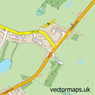
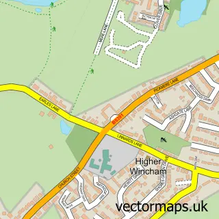
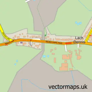
More street maps in Cheshire
750 metre map area coverage
Boundary, postcode and point of interest information for the 750m x 750m rectangle centred on this sample map.
Boundaries containing map centre
Constituency: Tatton Co Const
District: Cheshire East (B)
Icb: NHS Cheshire and Merseyside ICB
Parish: Plumley CP
Police Force: cheshire
Postcode District: WA16
Postcode Sector: WA16 0
Ward: Chelford Ward
Nearby boundaries intersecting sample
Postcode District: CW9
Postcode Sector: CW9 7, WA16 9
Postcode coverage
POI category counts
Shipping Center: 2
Auto Electrical Repair: 1
Church Cathedral: 1
Community Center: 1
Contractor: 1
Electrician: 1
Gardener: 1
Hair Salon: 1
Land Surveying: 1
Pet Services: 1
Sample points of interest
- S C C Electrical & Alarm
- Plumley Methodist Church
- Plumley Village Hall
- Paul Hawes
- SCC Systems
- Martin Lamb Garden Design
- The Massage and Beauty Room
- John W Wright
- Mucky Paws Dog Grooming Plumley
- Solutionz
- Home Fix
- Plumley Post Office
Create a larger editable map of Plumley
This sample shows only a 750 metre area. To create a larger map of Plumley, use our map builder to choose your own coverage area, add titles and download editable SVG, PDF and PNG files.
Create a custom map of Plumley