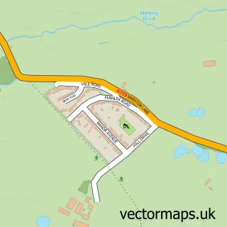
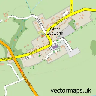
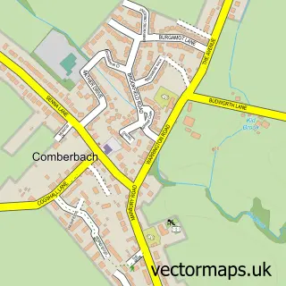
This Pickmere street map is a detailed vector street map covering a 750m x 750m area. Select a larger area to create and download your own vector street map of Pickmere.
The 750-metre map sample for Pickmere covers 115 mapped buildings and approximately 5.8 km of road detail, of which 9 named roads are named. The immediate area includes 1 pub and 6 MOT stations within 2 miles. The wider area around Pickmere features 1 food and drink venue. To create a larger or custom map of Pickmere, the map builder lets you define your own coverage area and download editable SVG, PDF and PNG files.
Create a larger editable map of Pickmere
Choose any area you need and generate a high-quality vector map instantly. Perfect for print, planning, design, business and personal use.

This Pickmere street map in Cheshire is available as downloadable SVG, PDF and PNG map files, or as a printed map for planning, business, display, education, local information and design work. You can also create a larger custom map area using the map selector.
What this Pickmere map sample shows
Pickmere lies within Pickmere Cp parish, part of High Legh ward in the Cheshire East (B) local authority area. The postcode geography for this area includes the WA postcode area, the WA16 postcode district and the WA16 0 postcode sector. Residents fall under the Nhs Cheshire And Merseyside Integrated Care Board for NHS services.
Local features near Pickmere
Within 2 milesAmenities and services in and around Pickmere.
Administrative and postcode information for Pickmere
Pickmere lies within Pickmere Cp parish, part of High Legh ward in the Cheshire East (B) local authority area. The postcode geography for this area includes the WA postcode area, the WA16 postcode district and the WA16 0 postcode sector. Residents fall under the Nhs Cheshire And Merseyside Integrated Care Board for NHS services.
Nearby street map samples around Pickmere
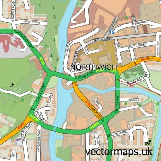

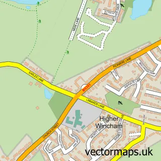
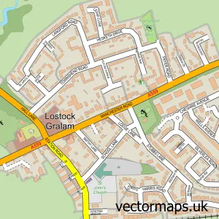
More street maps in Cheshire
750 metre map area coverage
Boundary, postcode and point of interest information for the 750m x 750m rectangle centred on this sample map.
Boundaries containing map centre
Constituency: Tatton Co Const
District: Cheshire East (B)
Icb: NHS Cheshire and Merseyside ICB
Parish: Pickmere CP
Police Force: cheshire
Postcode District: WA16
Postcode Sector: WA16 0
Ward: High Legh Ward
Nearby boundaries intersecting sample
District: Cheshire West and Chester (B)
Parish: Wincham CP
Postcode District: CW9
Postcode Sector: CW9 6
Ward: Marbury Ward
Postcode coverage
POI category counts
Church Cathedral: 2
Advertising Agency: 1
Bar: 1
Bed And Breakfast: 1
Business Consulting: 1
Community Services Non Profits: 1
Farm: 1
Graphic Designer: 1
Pub: 1
Stadium Arena: 1
Sample points of interest
- Opus Creative Design
- The Elms
- Pickmere Country House
- Milieu Consultancy
- Northwich Methodist Church
- Pickmere and Wincham Methodist Church
- Pickmere Parish Council
- Mere View Farm
- Opus Creative Design Ltd
- Red Lion
- Liverpool Wake Park
Create a larger editable map of Pickmere
This sample shows only a 750 metre area. To create a larger map of Pickmere, use our map builder to choose your own coverage area, add titles and download editable SVG, PDF and PNG files.
Create a custom map of Pickmere