This Orford street map is a detailed vector street map covering a 750m x 750m area. Select a larger area to create and download your own vector street map of Orford.
The 750-metre map sample for Orford covers 280 mapped buildings and approximately 12.1 km of road detail, of which 27 named roads are named. The immediate area includes 1 school and 3 pubs. The wider area around Orford features 4 tourism points of interest, 4 food and drink venues and 3 hotels. To create a larger or custom map of Orford, the map builder lets you define your own coverage area and download editable SVG, PDF and PNG files.
Create a larger editable map of Orford
Choose any area you need and generate a high-quality vector map instantly. Perfect for print, planning, design, business and personal use.

This Orford street map in Suffolk is available as downloadable SVG, PDF and PNG map files, or as a printed map for planning, business, display, education, local information and design work. You can also create a larger custom map area using the map selector.
What this Orford map sample shows
Orford lies within Orford Cp parish, part of Rendlesham & Orford ward in the East Suffolk District local authority area. The postcode geography for this area includes the IP postcode area, the IP12 postcode district and the IP12 2 postcode sector. Residents fall under the Nhs Suffolk And North East Essex Integrated Care Board for NHS services.
Local features near Orford
Within 2 milesAmenities and services in and around Orford.
Administrative and postcode information for Orford
Orford lies within Orford Cp parish, part of Rendlesham & Orford ward in the East Suffolk District local authority area. The postcode geography for this area includes the IP postcode area, the IP12 postcode district and the IP12 2 postcode sector. Residents fall under the Nhs Suffolk And North East Essex Integrated Care Board for NHS services.
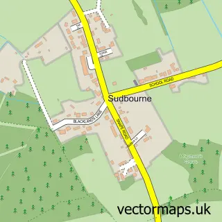
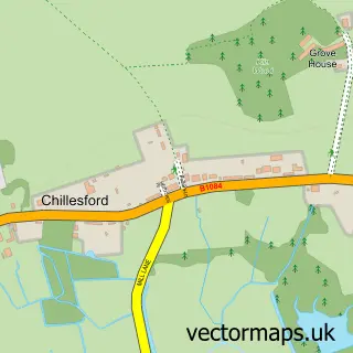
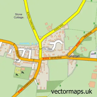
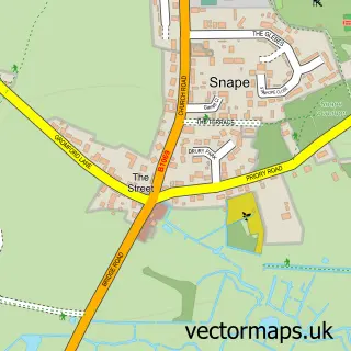
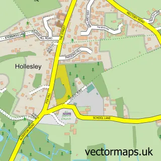
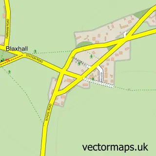
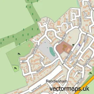
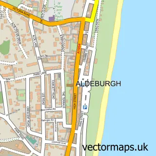
Nearby street map samples around Orford


More street maps in Suffolk
750 metre map area coverage
Boundary, postcode and point of interest information for the 750m x 750m rectangle centred on this sample map.
Boundaries containing map centre
Constituency: Suffolk Coastal Co Const
County: Suffolk County
District: East Suffolk District
Icb: NHS Essex ICB
Parish: Orford CP
Police Force: suffolk
Postcode District: IP12
Postcode Sector: IP12 2
Ward: Rendlesham & Orford Ward
Nearby boundaries intersecting sample
Parish: Gedgrave CP
Postcode coverage
POI category counts
Hotel: 3
Pub: 3
Church Cathedral: 2
Seafood Restaurant: 2
Anglican Church: 1
Arts And Crafts: 1
Attractions And Activities: 1
Bakery: 1
Bed And Breakfast: 1
Business Management Services: 1
Sample points of interest
- Orford, St Bartholomew
- Orford Craft Shop
- Orford Castle
- Pump Street Bakery
- The Old Butcher's Shop Bed and Breakfast
- Orford Post Office
- Orford Castle
- Orford Methodist Church
- St Bartholomew's Church
- Crafty Cuppa
- Orford General Stores
- Moat Cottage Orford
Create a larger editable map of Orford
This sample shows only a 750 metre area. To create a larger map of Orford, use our map builder to choose your own coverage area, add titles and download editable SVG, PDF and PNG files.
Create a custom map of Orford