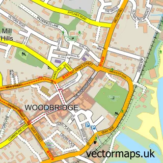
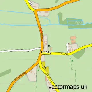
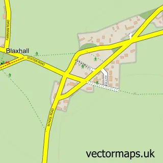
This Rendlesham street map is a detailed vector street map covering a 750m x 750m area. Select a larger area to create and download your own vector street map of Rendlesham.
The 750-metre map sample for Rendlesham covers 391 mapped buildings and approximately 15.4 km of road detail, of which 23 named roads are named. The immediate area includes 1 school and 2 MOT stations within 2 miles. The wider area around Rendlesham features 1 tourism point of interest, 2 food and drink venues and 1 campsite within 2 miles. To create a larger or custom map of Rendlesham, the map builder lets you define your own coverage area and download editable SVG, PDF and PNG files.
Create a larger editable map of Rendlesham
Choose any area you need and generate a high-quality vector map instantly. Perfect for print, planning, design, business and personal use.

This Rendlesham street map in Suffolk is available as downloadable SVG, PDF and PNG map files, or as a printed map for planning, business, display, education, local information and design work. You can also create a larger custom map area using the map selector.
What this Rendlesham map sample shows
Rendlesham lies within Rendlesham Cp parish, part of Rendlesham & Orford ward in the East Suffolk District local authority area. The postcode geography for this area includes the IP postcode area, the IP12 postcode district and the IP12 2 postcode sector. Residents fall under the Nhs Suffolk And North East Essex Integrated Care Board for NHS services.
Local features near Rendlesham
Within 2 milesAmenities and services in and around Rendlesham.
Administrative and postcode information for Rendlesham
Rendlesham lies within Rendlesham Cp parish, part of Rendlesham & Orford ward in the East Suffolk District local authority area. The postcode geography for this area includes the IP postcode area, the IP12 postcode district and the IP12 2 postcode sector. Residents fall under the Nhs Suffolk And North East Essex Integrated Care Board for NHS services.
Nearby street map samples around Rendlesham

More street maps in Suffolk
750 metre map area coverage
Boundary, postcode and point of interest information for the 750m x 750m rectangle centred on this sample map.
Boundaries containing map centre
Constituency: Suffolk Coastal Co Const
County: Suffolk County
District: East Suffolk District
Icb: NHS Essex ICB
Parish: Rendlesham CP
Police Force: suffolk
Postcode District: IP12
Postcode Sector: IP12 2
Ward: Rendlesham & Orford Ward
Nearby boundaries intersecting sample
No additional intersecting boundaries found.
Postcode coverage
POI category counts
Church Cathedral: 3
Bar: 2
Community Center: 2
Community Services Non Profits: 2
Convenience Store: 2
Elementary School: 2
Hair Salon: 2
Professional Services: 2
Scout Hall: 2
Veterinarian: 2
Sample points of interest
- Rendlesham, St Felix of Dunwich
- PayPoint
- Bar 23
- Ramsholt Arms
- Skinfinity UK
- WHD Microanalysis Consultants
- D Sharp Landscaping
- The Boardwalk
- Woodbridge Window Filming Company
- Rendelsham Wok Centre
- Grace Church Rendlesham
- Rendlesham Church: St. Felix' and St. Gregory's
Create a larger editable map of Rendlesham
This sample shows only a 750 metre area. To create a larger map of Rendlesham, use our map builder to choose your own coverage area, add titles and download editable SVG, PDF and PNG files.
Create a custom map of Rendlesham