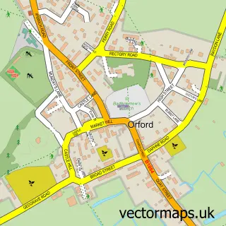
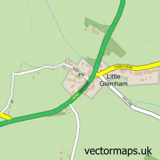
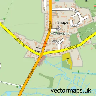
This Tunstall street map is a detailed vector street map covering a 750m x 750m area. Select a larger area to create and download your own vector street map of Tunstall.
The 750-metre map sample for Tunstall covers 175 mapped buildings and approximately 14.6 km of road detail, of which 11 named roads are named. The immediate area includes 1 pub and 1 MOT station, with 2 within 2 miles. The wider area around Tunstall features 1 tourism point of interest and 1 food and drink venue. To create a larger or custom map of Tunstall, the map builder lets you define your own coverage area and download editable SVG, PDF and PNG files.
Create a larger editable map of Tunstall
Choose any area you need and generate a high-quality vector map instantly. Perfect for print, planning, design, business and personal use.

This Tunstall street map in Suffolk is available as downloadable SVG, PDF and PNG map files, or as a printed map for planning, business, display, education, local information and design work. You can also create a larger custom map area using the map selector.
What this Tunstall map sample shows
Tunstall lies within Tunstall Cp parish, part of Rendlesham & Orford ward in the East Suffolk District local authority area. The postcode geography for this area includes the IP postcode area, the IP12 postcode district and the IP12 2 postcode sector. Residents fall under the Nhs Suffolk And North East Essex Integrated Care Board for NHS services.
Local features near Tunstall
Within 2 milesAmenities and services in and around Tunstall.
Administrative and postcode information for Tunstall
The local authority covering Tunstall is East Suffolk District, within the county of Suffolk. The settlement lies within Rendlesham & Orford ward and Tunstall Cp civil parish. The IP12 postcode district and IP12 2 postcode sector serve the immediate area. NHS provision in the area is delivered through East Suffolk And North Essex Nhs Foundation Trust.
Nearby street map samples around Tunstall

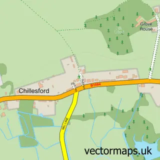
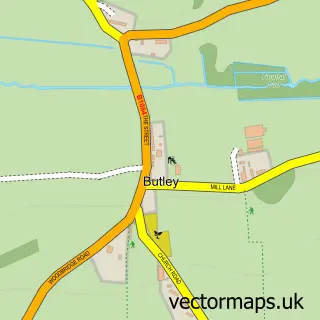
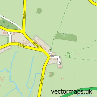
More street maps in Suffolk
750 metre map area coverage
Boundary, postcode and point of interest information for the 750m x 750m rectangle centred on this sample map.
Boundaries containing map centre
Constituency: Suffolk Coastal Co Const
County: Suffolk County
District: East Suffolk District
Icb: NHS Essex ICB
Parish: Tunstall CP
Police Force: suffolk
Postcode District: IP12
Postcode Sector: IP12 2
Ward: Rendlesham & Orford Ward
Nearby boundaries intersecting sample
No additional intersecting boundaries found.
Postcode coverage
POI category counts
Automotive Repair: 2
Anglican Church: 1
Auto Detailing: 1
Bar: 1
Church Cathedral: 1
Education: 1
Gas Station: 1
Home Cleaning: 1
Landmark And Historical Building: 1
Parking: 1
Sample points of interest
- Tunstall, St Michael & All Angels
- Andy's Car Valeting
- Peter Teager Cars
- Stephen Caulfield & Son
- The Green Man
- St Michael
- Confer CPD
- Pace
- The Carpet Cleaning Company
- Tunstall, Suffolk
- Stephen Caulfield & Son Ltd.
- Green Man Inn
Create a larger editable map of Tunstall
This sample shows only a 750 metre area. To create a larger map of Tunstall, use our map builder to choose your own coverage area, add titles and download editable SVG, PDF and PNG files.
Create a custom map of Tunstall