This Pailton street map is a detailed vector street map covering a 750m x 750m area. Select a larger area to create and download your own vector street map of Pailton.
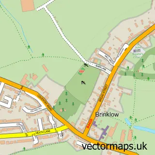
The 750-metre map sample for Pailton covers 167 mapped buildings and approximately 9.9 km of road detail, of which 6 named roads are named. The immediate area includes 2 pubs and 1 MOT station within 2 miles. The wider area around Pailton features 2 food and drink venues. To create a larger or custom map of Pailton, the map builder lets you define your own coverage area and download editable SVG, PDF and PNG files.
Create a larger editable map of Pailton
Choose any area you need and generate a high-quality vector map instantly. Perfect for print, planning, design, business and personal use.

This Pailton street map in Warwickshire is available as downloadable SVG, PDF and PNG map files, or as a printed map for planning, business, display, education, local information and design work. You can also create a larger custom map area using the map selector.
What this Pailton map sample shows
Pailton lies within Pailton Cp parish, part of Revel And Binley Woods ward in the Rugby District (B) local authority area. The postcode geography for this area includes the CV postcode area, the CV23 postcode district and the CV23 0 postcode sector. Residents fall under the Nhs Coventry And Warwickshire Integrated Care Board for NHS services.
Local features near Pailton
Within 2 milesAmenities and services in and around Pailton.
Administrative and postcode information for Pailton
Pailton lies within Pailton Cp parish, part of Revel And Binley Woods ward in the Rugby District (B) local authority area. The postcode geography for this area includes the CV postcode area, the CV23 postcode district and the CV23 0 postcode sector. Residents fall under the Nhs Coventry And Warwickshire Integrated Care Board for NHS services.
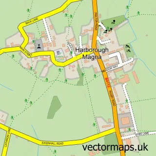
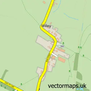
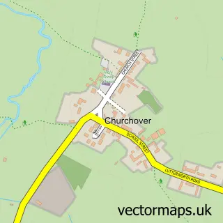
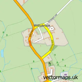
Nearby street map samples around Pailton
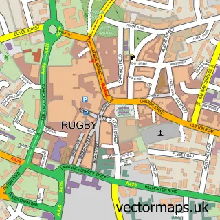

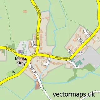
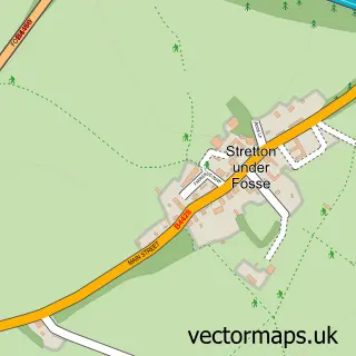
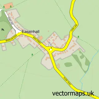
More street maps in Warwickshire
750 metre map area coverage
Boundary, postcode and point of interest information for the 750m x 750m rectangle centred on this sample map.
Boundaries containing map centre
Constituency: Rugby Co Const
County: Warwickshire County
District: Rugby District (B)
Icb: NHS Coventry and Warwickshire ICB
Parish: Pailton CP
Police Force: warwickshire
Postcode District: CV23
Postcode Sector: CV23 0
Ward: Revel and Binley Woods Ward
Nearby boundaries intersecting sample
No additional intersecting boundaries found.
Postcode coverage
POI category counts
Pub: 2
Anglican Church: 1
Automotive Repair: 1
Cabin: 1
Community Center: 1
Community Services Non Profits: 1
Dentist: 1
Farmers Market: 1
General Dentistry: 1
Health And Medical: 1
Sample points of interest
- St Denys' Church, Rugby Road, Pailton, CV23 0QH.
- Lilbourne Garage
- Deer Keeper's Hut
- Pailton Village Hall
- Pailton Village
- Revel Dental
- C & K Morton Farmers
- TGs Dental Suite
- Gillian Berridge - Rugby Speech Therapist
- Colledge Tree and Landscape Services
- The Nail Cabin
- Post Office
Create a larger editable map of Pailton
This sample shows only a 750 metre area. To create a larger map of Pailton, use our map builder to choose your own coverage area, add titles and download editable SVG, PDF and PNG files.
Create a custom map of Pailton