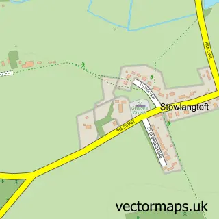
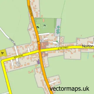
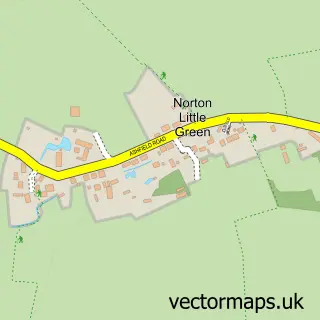
This Pakenham street map is a detailed vector street map covering a 750m x 750m area. Select a larger area to create and download your own vector street map of Pakenham.
The 750-metre map sample for Pakenham covers 154 mapped buildings and approximately 5.1 km of road detail, of which 6 named roads are named. The immediate area includes 1 pub and 4 MOT stations within 2 miles. The wider area around Pakenham features 1 tourism point of interest and 2 food and drink venues. To create a larger or custom map of Pakenham, the map builder lets you define your own coverage area and download editable SVG, PDF and PNG files.
Create a larger editable map of Pakenham
Choose any area you need and generate a high-quality vector map instantly. Perfect for print, planning, design, business and personal use.

This Pakenham street map in Suffolk is available as downloadable SVG, PDF and PNG map files, or as a printed map for planning, business, display, education, local information and design work. You can also create a larger custom map area using the map selector.
What this Pakenham map sample shows
Pakenham lies within Pakenham Cp parish, part of Pakenham & Troston ward in the West Suffolk District local authority area. The postcode geography for this area includes the IP postcode area, the IP31 postcode district and the IP31 2 postcode sector. Residents fall under the Nhs Suffolk And North East Essex Integrated Care Board for NHS services.
Local features near Pakenham
Within 2 milesAmenities and services in and around Pakenham.
Administrative and postcode information for Pakenham
The local authority covering Pakenham is West Suffolk District, within the county of Suffolk. The settlement lies within Pakenham & Troston ward and Pakenham Cp civil parish. The IP31 postcode district and IP31 2 postcode sector serve the immediate area. NHS provision in the area is delivered through West Suffolk Nhs Foundation Trust.
Nearby street map samples around Pakenham
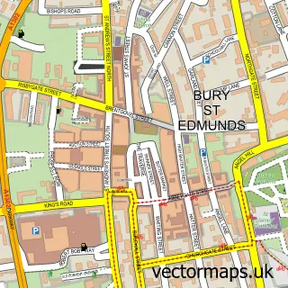

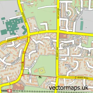
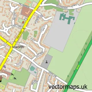
More street maps in Suffolk
750 metre map area coverage
Boundary, postcode and point of interest information for the 750m x 750m rectangle centred on this sample map.
Boundaries containing map centre
Constituency: Bury St. Edmunds and Stowmarket Co Const
County: Suffolk County
District: West Suffolk District
Icb: NHS Essex ICB
Parish: Pakenham CP
Police Force: suffolk
Postcode District: IP31
Postcode Sector: IP31 2
Ward: Pakenham & Troston Ward
Nearby boundaries intersecting sample
No additional intersecting boundaries found.
Postcode coverage
POI category counts
Anglican Church: 1
Bridal Shop: 1
Cafe: 1
Community Center: 1
Day Care Preschool: 1
Home Improvement Store: 1
Martial Arts Club: 1
Park: 1
Pub: 1
Retail: 1
Sample points of interest
- Pakenham, St Mary
- Ag Wedding Photography
- Treat Street Cafe
- Pakenham Village Hall
- Little Explorers - Pakenham
- Townsend’s Furniture
- Minotaur Martial Arts and Fitness Bury St Edmunds
- Ickworth Park
- The Pakenham Fox
- Suffolk Agri Centre
Create a larger editable map of Pakenham
This sample shows only a 750 metre area. To create a larger map of Pakenham, use our map builder to choose your own coverage area, add titles and download editable SVG, PDF and PNG files.
Create a custom map of Pakenham