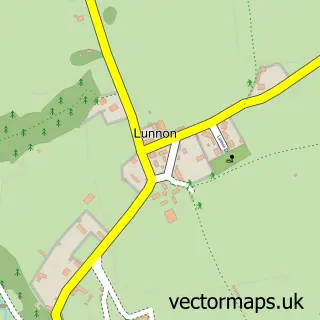
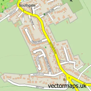
This Parkmill street map is a detailed vector street map covering a 750m x 750m area. Select a larger area to create and download your own vector street map of Parkmill.
The 750-metre map sample for Parkmill covers 187 mapped buildings and approximately 7.8 km of road detail, of which 1 named road are named. The immediate area includes 1 GP surgery within 2 miles. The wider area around Parkmill features 1 tourism point of interest, 1 food and drink venue and 1 hotel. To create a larger or custom map of Parkmill, the map builder lets you define your own coverage area and download editable SVG, PDF and PNG files.
Create a larger editable map of Parkmill
Choose any area you need and generate a high-quality vector map instantly. Perfect for print, planning, design, business and personal use.

This Parkmill street map in West Glamorgan is available as downloadable SVG, PDF and PNG map files, or as a printed map for planning, business, display, education, local information and design work. You can also create a larger custom map area using the map selector.
What this Parkmill map sample shows
Parkmill lies within Ilston Community parish, part of Gower ward in the Abertawe - Swansea local authority area. The postcode geography for this area includes the SA postcode area, the SA3 postcode district and the SA3 2 postcode sector. Residents fall under the Swansea Bay University Local Health Board for NHS services.
Local features near Parkmill
Within 2 milesAmenities and services in and around Parkmill.
Administrative and postcode information for Parkmill
Parkmill lies within Ilston Community parish, part of Gower ward in the Abertawe - Swansea local authority area. The postcode geography for this area includes the SA postcode area, the SA3 postcode district and the SA3 2 postcode sector. Residents fall under the Swansea Bay University Local Health Board for NHS services.
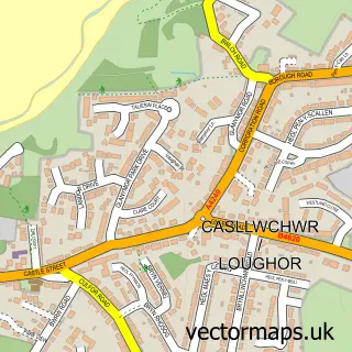
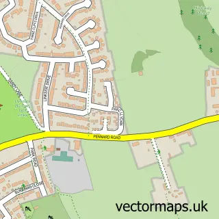
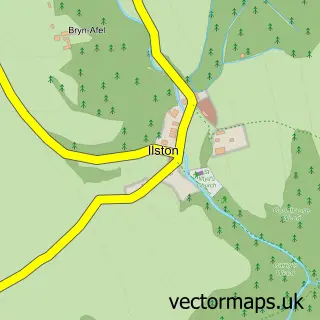
Nearby street map samples around Parkmill


More street maps in West Glamorgan
750 metre map area coverage
Boundary, postcode and point of interest information for the 750m x 750m rectangle centred on this sample map.
Boundaries containing map centre
Constituency: Gower Co Const
District: Abertawe - Swansea
Icb: Abertawe Bro Morgannwg University
Parish: Ilston Community
Police Force: south wales
Postcode District: SA3
Postcode Sector: SA3 2
Nearby boundaries intersecting sample
Parish: Pennard Community
Postcode coverage
POI category counts
Professional Services: 2
Automotive Services And Repair: 1
Bakery: 1
Beer Bar: 1
Bicycle Shop: 1
Business Management Services: 1
Cafe: 1
Charity Organization: 1
Church Cathedral: 1
Community Center: 1
Sample points of interest
- InstaVolt Charging Station
- Little Valley Bakery
- Gower Inn
- Essential Cycles Gower
- Tourism Swansea Bay
- Shepherds Cafe
- Gower Festival Society
- Gower New Life Church
- Barham Centre, Chapel And Community Centre
- Gower Power
- Poppet Puppets
- Peter Mabbett Haulage
Create a larger editable map of Parkmill
This sample shows only a 750 metre area. To create a larger map of Parkmill, use our map builder to choose your own coverage area, add titles and download editable SVG, PDF and PNG files.
Create a custom map of Parkmill