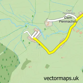
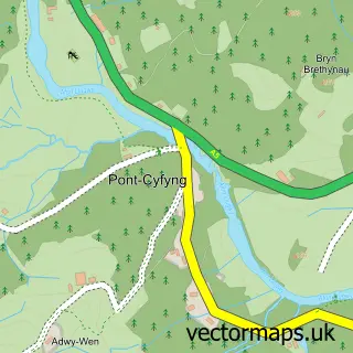
This Penmachno street map is a detailed vector street map covering a 750m x 750m area. Select a larger area to create and download your own vector street map of Penmachno.
The 750-metre map sample for Penmachno covers 110 mapped buildings and approximately 8.7 km of road detail, of which 10 named roads are named. The immediate area includes 1 school and 2 pubs. The wider area around Penmachno features 3 tourism points of interest, 2 food and drink venues and 1 hotel. To create a larger or custom map of Penmachno, the map builder lets you define your own coverage area and download editable SVG, PDF and PNG files.
Create a larger editable map of Penmachno
Choose any area you need and generate a high-quality vector map instantly. Perfect for print, planning, design, business and personal use.

This Penmachno street map in Clwyd is available as downloadable SVG, PDF and PNG map files, or as a printed map for planning, business, display, education, local information and design work. You can also create a larger custom map area using the map selector.
What this Penmachno map sample shows
Penmachno lies within Bro Machno Community parish, part of Uwch Conwy ward in the Conwy - Conwy local authority area. The postcode geography for this area includes the LL postcode area, the LL24 postcode district and the LL24 0 postcode sector. Residents fall under the Betsi Cadwaladr University Health Board for NHS services.
Local features near Penmachno
Within 2 milesAmenities and services in and around Penmachno.
Administrative and postcode information for Penmachno
Penmachno lies within Bro Machno Community parish, part of Uwch Conwy ward in the Conwy - Conwy local authority area. The postcode geography for this area includes the LL postcode area, the LL24 postcode district and the LL24 0 postcode sector. Residents fall under the Betsi Cadwaladr University Health Board for NHS services.
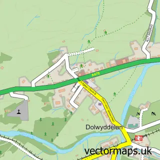
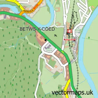
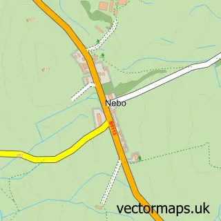
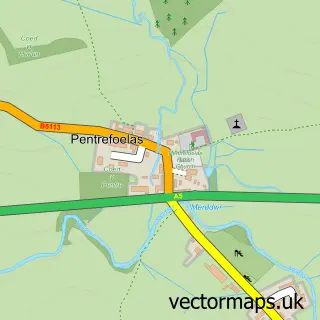
Nearby street map samples around Penmachno

More street maps in Clwyd
750 metre map area coverage
Boundary, postcode and point of interest information for the 750m x 750m rectangle centred on this sample map.
Boundaries containing map centre
Constituency: Bangor Aberconwy Co Const
District: Conwy - Conwy
Icb: Betsi Cadwaladr University
Parish: Bro Machno Community
Police Force: north wales
Postcode District: LL24
Postcode Sector: LL24 0
Nearby boundaries intersecting sample
No additional intersecting boundaries found.
Postcode coverage
POI category counts
Community Services Non Profits: 2
Pub: 2
Attractions And Activities: 1
Convenience Store: 1
Cottage: 1
Elementary School: 1
Farm: 1
Forestry Service: 1
Hotel: 1
Landmark And Historical Building: 1
Sample points of interest
- Outdoor Adventure Wales
- Côr Penmachno
- Penmachno Community Field
- Londis LONDIS - PENMACHNO
- Squirrel Cottage
- Ysgol Penmachno
- Cae Llwyd Farm
- Edwards Woodland Services
- Penmachno Hall
- Gwydyr Stables
- Peter Haveland
- Snowdonia National Park
Create a larger editable map of Penmachno
This sample shows only a 750 metre area. To create a larger map of Penmachno, use our map builder to choose your own coverage area, add titles and download editable SVG, PDF and PNG files.
Create a custom map of Penmachno