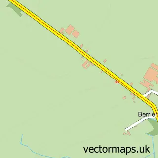
This Penruddock street map is a detailed vector street map covering a 750m x 750m area. Select a larger area to create and download your own vector street map of Penruddock.
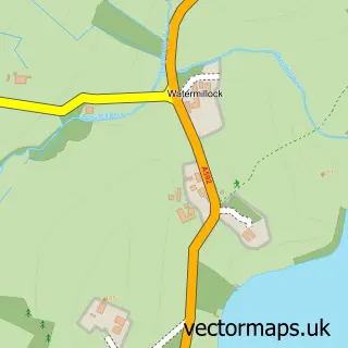
The 750-metre map sample for Penruddock covers 41 mapped buildings and approximately 9.9 km of road detail. The immediate area includes 1 pub and 1 MOT station within 2 miles. The wider area around Penruddock features 1 food and drink venue and 1 campsite within 2 miles. To create a larger or custom map of Penruddock, the map builder lets you define your own coverage area and download editable SVG, PDF and PNG files.
Create a larger editable map of Penruddock
Choose any area you need and generate a high-quality vector map instantly. Perfect for print, planning, design, business and personal use.

This Penruddock street map in Cumbria is available as downloadable SVG, PDF and PNG map files, or as a printed map for planning, business, display, education, local information and design work. You can also create a larger custom map area using the map selector.
What this Penruddock map sample shows
Penruddock lies within Hutton Cp parish, part of Ullswater ward in the Westmorland And Furness local authority area. The postcode geography for this area includes the CA postcode area, the CA11 postcode district and the CA11 0 postcode sector. Residents fall under the Nhs North East And North Cumbria Integrated Care Board for NHS services.
Local features near Penruddock
Within 2 milesAmenities and services in and around Penruddock.
Administrative and postcode information for Penruddock
The local authority covering Penruddock is Westmorland And Furness, within the county of Cumbria. The settlement lies within Ullswater ward and Hutton Cp civil parish. The CA11 postcode district and CA11 0 postcode sector serve the immediate area. NHS provision in the area is delivered through North Cumbria Integrated Care Nhs Foundation Trust.
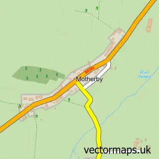
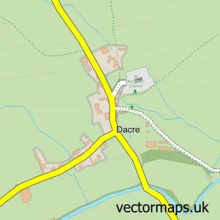
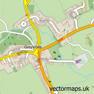
Nearby street map samples around Penruddock

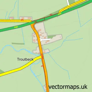
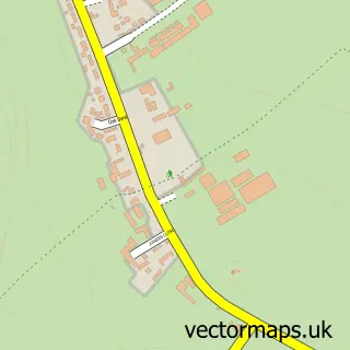
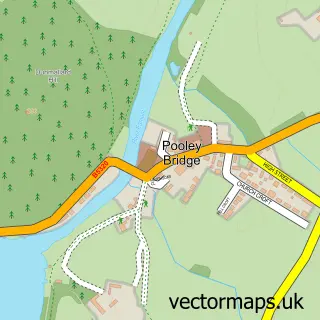
More street maps in Cumbria
750 metre map area coverage
Boundary, postcode and point of interest information for the 750m x 750m rectangle centred on this sample map.
Boundaries containing map centre
Constituency: Westmorland and Lonsdale Co Const
District: Westmorland and Furness
Icb: NHS North East and North Cumbria ICB
Parish: Hutton CP
Police Force: cumbria
Postcode District: CA11
Postcode Sector: CA11 0
Ward: Greystoke and Ullswater Ward
Nearby boundaries intersecting sample
No additional intersecting boundaries found.
Postcode coverage
POI category counts
Land Surveying: 2
Anglican Church: 1
Farm: 1
Gym: 1
Holiday Rental Home: 1
Professional Services: 1
Pub: 1
Shopping: 1
Skate Park: 1
Sample points of interest
- All Saints, Penruddock
- Miller Farming
- Get Active
- Hutton John Estate
- Shaun Holmes Chartered Surveyor
- Shaun Holmes Chartered Surveyors
- Tom McNally Photography
- The Herdwick Inn
- The Birds' Bistro
- Lake District
Create a larger editable map of Penruddock
This sample shows only a 750 metre area. To create a larger map of Penruddock, use our map builder to choose your own coverage area, add titles and download editable SVG, PDF and PNG files.
Create a custom map of Penruddock