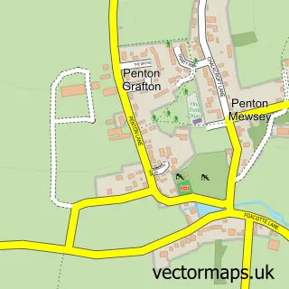
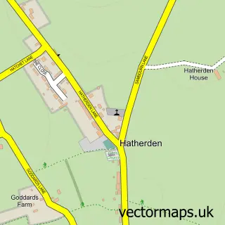
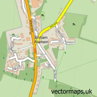
This Penton Mewsey street map is a detailed vector street map covering a 750m x 750m area. Select a larger area to create and download your own vector street map of Penton Mewsey.
The 750-metre map sample for Penton Mewsey covers 106 mapped buildings and approximately 10.5 km of road detail, of which 6 named roads are named. The immediate area includes 2 GP surgeries within 2 miles, 1 pub and 13 MOT stations within 2 miles. The wider area around Penton Mewsey features 1 tourism point of interest and 1 food and drink venue. To create a larger or custom map of Penton Mewsey, the map builder lets you define your own coverage area and download editable SVG, PDF and PNG files.
Create a larger editable map of Penton Mewsey
Choose any area you need and generate a high-quality vector map instantly. Perfect for print, planning, design, business and personal use.

This Penton Mewsey street map in Hampshire is available as downloadable SVG, PDF and PNG map files, or as a printed map for planning, business, display, education, local information and design work. You can also create a larger custom map area using the map selector.
What this Penton Mewsey map sample shows
Penton Mewsey lies within Penton Mewsey Cp parish, part of Charlton & The Pentons ward in the Test Valley District local authority area. The postcode geography for this area includes the SP postcode area, the SP11 postcode district and the SP11 0 postcode sector. Residents fall under the Nhs Hampshire And Isle Of Wight Integrated Care Board for NHS services.
Local features near Penton Mewsey
Within 2 milesAmenities and services in and around Penton Mewsey.
Administrative and postcode information for Penton Mewsey
The local authority covering Penton Mewsey is Test Valley District, within the county of Hampshire. The settlement lies within Charlton & The Pentons ward and Penton Mewsey Cp civil parish. The SP11 postcode district and SP11 0 postcode sector serve the immediate area. NHS provision in the area is delivered through Hampshire Hospitals Nhs Foundation Trust.
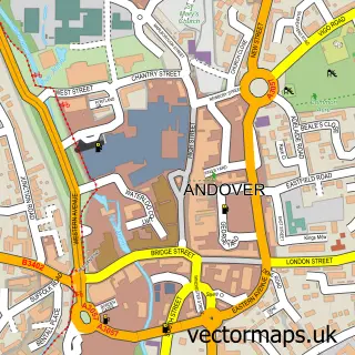
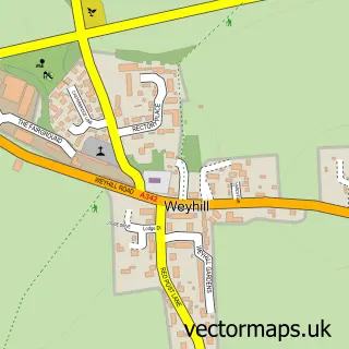
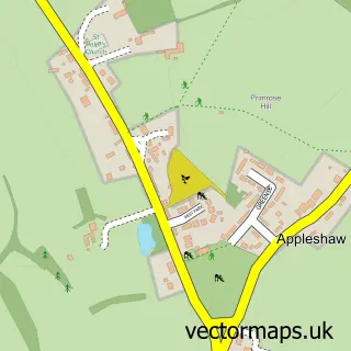
Nearby street map samples around Penton Mewsey

More street maps in Hampshire
750 metre map area coverage
Boundary, postcode and point of interest information for the 750m x 750m rectangle centred on this sample map.
Boundaries containing map centre
Constituency: Romsey and Southampton North Co Const
County: Hampshire County
District: Test Valley District
Icb: NHS Hampshire and Isle of Wight ICB
Parish: Penton Mewsey CP
Police Force: hampshire
Postcode District: SP11
Postcode Sector: SP11 0
Ward: Charlton & the Pentons Ward
Nearby boundaries intersecting sample
Parish: Penton Grafton CP
Postcode coverage
POI category counts
Tennis Court: 2
Active Life: 1
Anglican Church: 1
Child Care And Day Care: 1
Disability Services And Support Organization: 1
Event Planning: 1
Hobby Shop: 1
Home Service: 1
Landscaping: 1
Park: 1
Sample points of interest
- Harroway House Stables
- Holy Trinity
- James's Place
- James' Place Adult Daycare - Andover
- Penton Park
- Revelstone Models
- Country Day Nursery
- Sonnies Landscapes
- Ramridge Park
- The White Hart Inn
- Black & White Motorways
- James's Place
Create a larger editable map of Penton Mewsey
This sample shows only a 750 metre area. To create a larger map of Penton Mewsey, use our map builder to choose your own coverage area, add titles and download editable SVG, PDF and PNG files.
Create a custom map of Penton Mewsey