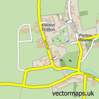
This Weyhill street map is a detailed vector street map covering a 750m x 750m area. Select a larger area to create and download your own vector street map of Weyhill.
The 750-metre map sample for Weyhill covers 158 mapped buildings and approximately 9.5 km of road detail, of which 10 named roads are named. The immediate area includes 1 MOT station, with 10 within 2 miles. The wider area around Weyhill features 2 food and drink venues. To create a larger or custom map of Weyhill, the map builder lets you define your own coverage area and download editable SVG, PDF and PNG files.
Create a larger editable map of Weyhill
Choose any area you need and generate a high-quality vector map instantly. Perfect for print, planning, design, business and personal use.

This Weyhill street map in Hampshire is available as downloadable SVG, PDF and PNG map files, or as a printed map for planning, business, display, education, local information and design work. You can also create a larger custom map area using the map selector.
What this Weyhill map sample shows
Weyhill lies within Penton Grafton Cp parish, part of Charlton & The Pentons ward in the Test Valley District local authority area. The postcode geography for this area includes the SP postcode area, the SP11 postcode district and the SP11 0 postcode sector. Residents fall under the Nhs Hampshire And Isle Of Wight Integrated Care Board for NHS services.
Local features near Weyhill
Within 2 milesAmenities and services in and around Weyhill.
Administrative and postcode information for Weyhill
Weyhill lies within Penton Grafton Cp parish, part of Charlton & The Pentons ward in the Test Valley District local authority area. The postcode geography for this area includes the SP postcode area, the SP11 postcode district and the SP11 0 postcode sector. Residents fall under the Nhs Hampshire And Isle Of Wight Integrated Care Board for NHS services.
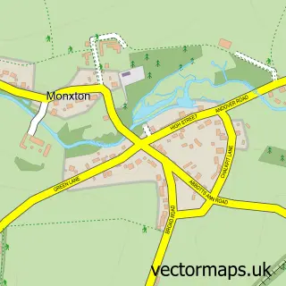
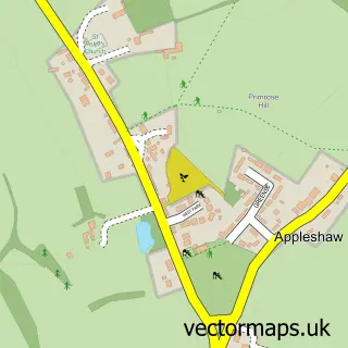
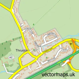
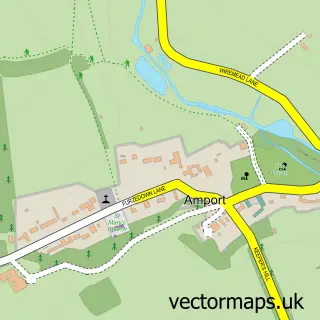
Nearby street map samples around Weyhill
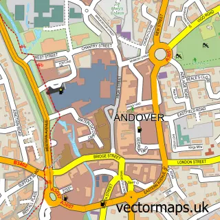

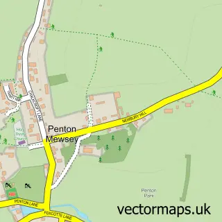
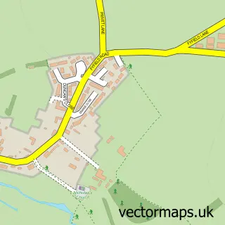

More street maps in Hampshire
750 metre map area coverage
Boundary, postcode and point of interest information for the 750m x 750m rectangle centred on this sample map.
Boundaries containing map centre
Constituency: Romsey and Southampton North Co Const
County: Hampshire County
District: Test Valley District
Icb: NHS Hampshire and Isle of Wight ICB
Parish: Penton Grafton CP
Police Force: hampshire
Postcode District: SP11
Postcode Sector: SP11 0
Ward: Charlton & the Pentons Ward
Nearby boundaries intersecting sample
Parish: Amport CP, Monxton CP
Postcode Sector: SP11 8
Ward: Anna Ward
Postcode coverage
POI category counts
Arts And Crafts: 4
Furniture Store: 3
Gas Station: 3
Fabric Store: 2
Pop Up Shop: 2
Appliance Manufacturer: 1
Art Gallery: 1
Arts And Entertainment: 1
Asian Fusion Restaurant: 1
Auction House: 1
Sample points of interest
- Sesanti
- Cherished China
- Busy Hands
- Fairground Craft & Design Centre
- Fairground Craft Centre
- Framesmith
- Alex Mcgarry - Professional Artist
- Pink Olive Restaurant
- Andover Auction
- Old Bones Fabrications Ltd
- Bourne Valley Beauty
- Tea Leaves & Reads
Create a larger editable map of Weyhill
This sample shows only a 750 metre area. To create a larger map of Weyhill, use our map builder to choose your own coverage area, add titles and download editable SVG, PDF and PNG files.
Create a custom map of Weyhill