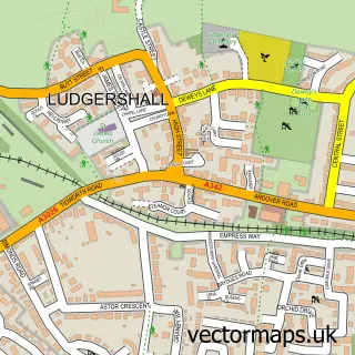
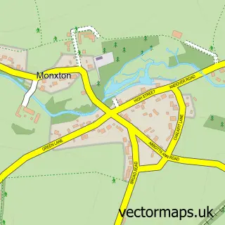
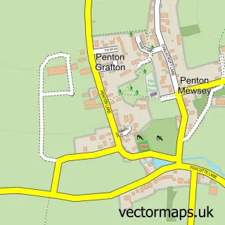
This Thruxton street map is a detailed vector street map covering a 750m x 750m area. Select a larger area to create and download your own vector street map of Thruxton.
The 750-metre map sample for Thruxton covers 214 mapped buildings and approximately 12.1 km of road detail, of which 9 named roads are named. The immediate area includes 1 MOT station within 2 miles. To create a larger or custom map of Thruxton, the map builder lets you define your own coverage area and download editable SVG, PDF and PNG files.
Create a larger editable map of Thruxton
Choose any area you need and generate a high-quality vector map instantly. Perfect for print, planning, design, business and personal use.

This Thruxton street map in Hampshire is available as downloadable SVG, PDF and PNG map files, or as a printed map for planning, business, display, education, local information and design work. You can also create a larger custom map area using the map selector.
What this Thruxton map sample shows
Thruxton lies within Thruxton Cp parish, part of Bellinger ward in the Test Valley District local authority area. The postcode geography for this area includes the SP postcode area, the SP11 postcode district and the SP11 8 postcode sector. Residents fall under the Nhs Hampshire And Isle Of Wight Integrated Care Board for NHS services.
Local features near Thruxton
Within 2 milesAmenities and services in and around Thruxton.
Administrative and postcode information for Thruxton
The local authority covering Thruxton is Test Valley District, within the county of Hampshire. The settlement lies within Bellinger ward and Thruxton Cp civil parish. The SP11 postcode district and SP11 8 postcode sector serve the immediate area. NHS provision in the area is delivered through Hampshire Hospitals Nhs Foundation Trust.
Nearby street map samples around Thruxton

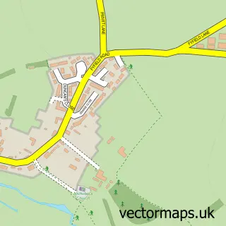
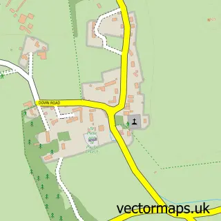
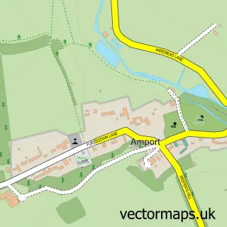
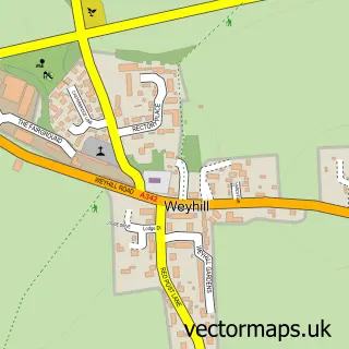
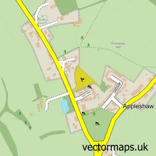
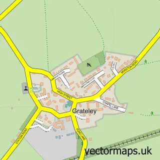
More street maps in Hampshire
750 metre map area coverage
Boundary, postcode and point of interest information for the 750m x 750m rectangle centred on this sample map.
Boundaries containing map centre
Constituency: Romsey and Southampton North Co Const
County: Hampshire County
District: Test Valley District
Icb: NHS Hampshire and Isle of Wight ICB
Parish: Thruxton CP
Police Force: hampshire
Postcode District: SP11
Postcode Sector: SP11 8
Ward: Bellinger Ward
Nearby boundaries intersecting sample
Parish: Amport CP, Fyfield CP
Ward: Anna Ward
Postcode coverage
POI category counts
Anglican Church: 1
Beauty Salon: 1
Bed And Breakfast: 1
Clothing Store: 1
Contractor: 1
Gym: 1
It Service And Computer Repair: 1
Professional Services: 1
Veterinarian: 1
Sample points of interest
- St Peter & St Paul
- Amy Webb Beauty Therapy
- May Cottage Thruxton
- Aviation Leathercraft
- C W Services
- Fevo Gym
- Jewelgreen
- Sovereign Joinery Products
- Bubble Hut Doggy Spa
Create a larger editable map of Thruxton
This sample shows only a 750 metre area. To create a larger map of Thruxton, use our map builder to choose your own coverage area, add titles and download editable SVG, PDF and PNG files.
Create a custom map of Thruxton