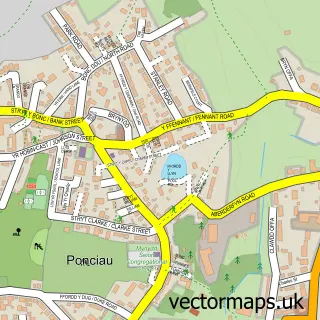
This Pen-y-cae street map is a detailed vector street map covering a 750m x 750m area. Select a larger area to create and download your own vector street map of Pen-y-cae.
The 750-metre map sample for Pen-y-cae covers 163 mapped buildings and approximately 12.9 km of road detail, of which 15 named roads are named. The immediate area includes 1 GP surgery within 2 miles, 1 pub and 6 MOT stations within 2 miles. The wider area around Pen-y-cae features 1 food and drink venue. To create a larger or custom map of Pen-y-cae, the map builder lets you define your own coverage area and download editable SVG, PDF and PNG files.
Create a larger editable map of Pen-y-cae
Choose any area you need and generate a high-quality vector map instantly. Perfect for print, planning, design, business and personal use.

This Pen-y-cae street map in Clwyd is available as downloadable SVG, PDF and PNG map files, or as a printed map for planning, business, display, education, local information and design work. You can also create a larger custom map area using the map selector.
What this Pen-y-cae map sample shows
Pen-y-cae lies within Penycae Community parish, part of Penycae And Ruabon South ward in the Wrecsam - Wrexham local authority area. The postcode geography for this area includes the LL postcode area, the LL14 postcode district and the LL14 2 postcode sector. Residents fall under the Betsi Cadwaladr University Health Board for NHS services.
Local features near Pen-y-cae
Within 2 milesAmenities and services in and around Pen-y-cae.
Administrative and postcode information for Pen-y-cae
The local authority covering Pen-y-cae is Wrecsam - Wrexham, within the county of Clwyd. The settlement lies within Penycae And Ruabon South ward and Penycae Community civil parish. The LL14 postcode district and LL14 2 postcode sector serve the immediate area. NHS provision in the area is delivered through Betsi Cadwaladr University Health Board.
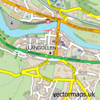
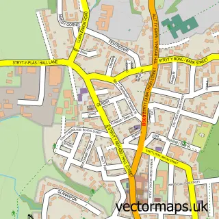
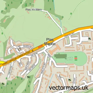
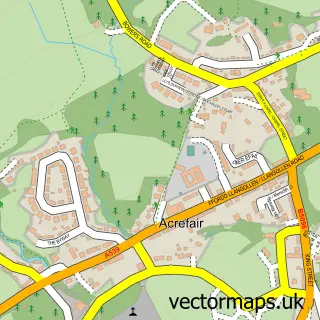
Nearby street map samples around Pen-y-cae


More street maps in Clwyd
750 metre map area coverage
Boundary, postcode and point of interest information for the 750m x 750m rectangle centred on this sample map.
Boundaries containing map centre
Constituency: Montgomeryshire and Glyndwr Co Const
District: Wrecsam - Wrexham
Icb: Betsi Cadwaladr University
Parish: Penycae Community
Police Force: north wales
Postcode District: LL14
Postcode Sector: LL14 2
Nearby boundaries intersecting sample
Postcode Sector: LL14 1
Postcode coverage
POI category counts
Anglican Church: 1
Atms: 1
Building Supply Store: 1
Bus Service: 1
Chimney Sweep: 1
Chinese Restaurant: 1
Church Cathedral: 1
Community Center: 1
Hair Salon: 1
Holiday Rental Home: 1
Sample points of interest
- St Thomas Church
- PayPoint
- Do it All Property Services
- Wrexham Minibus
- Chim Chimney Services
- Yama Oriental Cuisine
- Zion English Baptist Church
- Pen-y-cae Community Centre
- Village Hair
- Douglas Holiday Cottage
- The Mutt Hut
- Paul G Roadshow
Create a larger editable map of Pen-y-cae
This sample shows only a 750 metre area. To create a larger map of Pen-y-cae, use our map builder to choose your own coverage area, add titles and download editable SVG, PDF and PNG files.
Create a custom map of Pen-y-cae