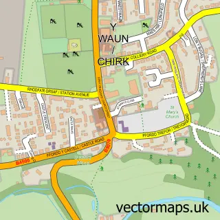
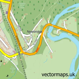
This Ruabon street map is a detailed vector street map covering a 750m x 750m area. Select a larger area to create and download your own vector street map of Ruabon.
The 750-metre map sample for Ruabon covers 344 mapped buildings and approximately 20.0 km of road detail, of which 32 named roads are named. The immediate area includes 2 schools, 1 railway station, 1 GP surgery within 2 miles and 6 pubs among other local services. The wider area around Ruabon features 1 tourism point of interest and 10 food and drink venues. To create a larger or custom map of Ruabon, the map builder lets you define your own coverage area and download editable SVG, PDF and PNG files.
Create a larger editable map of Ruabon
Choose any area you need and generate a high-quality vector map instantly. Perfect for print, planning, design, business and personal use.

This Ruabon street map in Clwyd is available as downloadable SVG, PDF and PNG map files, or as a printed map for planning, business, display, education, local information and design work. You can also create a larger custom map area using the map selector.
What this Ruabon map sample shows
Ruabon lies within Ruabon Community parish, part of Ruabon ward in the Wrecsam - Wrexham local authority area. The postcode geography for this area includes the LL postcode area, the LL14 postcode district and the LL14 6 postcode sector. Residents fall under the Betsi Cadwaladr University Health Board for NHS services.
Local features near Ruabon
Within 2 milesAmenities and services in and around Ruabon.
Administrative and postcode information for Ruabon
Ruabon lies within Ruabon Community parish, part of Ruabon ward in the Wrecsam - Wrexham local authority area. The postcode geography for this area includes the LL postcode area, the LL14 postcode district and the LL14 6 postcode sector. Residents fall under the Betsi Cadwaladr University Health Board for NHS services.
Nearby street map samples around Ruabon

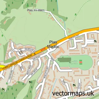

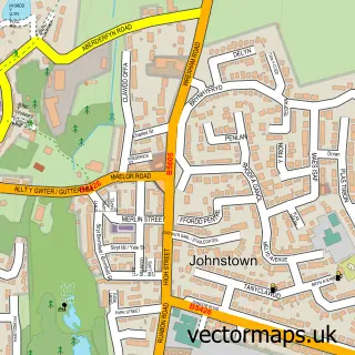
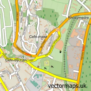
More street maps in Clwyd
750 metre map area coverage
Boundary, postcode and point of interest information for the 750m x 750m rectangle centred on this sample map.
Boundaries containing map centre
Constituency: Montgomeryshire and Glyndwr Co Const
District: Wrecsam - Wrexham
Icb: Betsi Cadwaladr University
Parish: Ruabon Community
Police Force: north wales
Postcode District: LL14
Postcode Sector: LL14 6
Nearby boundaries intersecting sample
No additional intersecting boundaries found.
Postcode coverage
POI category counts
Dentist: 6
Pub: 6
Beauty Salon: 5
Elementary School: 4
Coffee Shop: 3
Post Office: 3
Beauty And Spa: 2
Church Cathedral: 2
Community Services Non Profits: 2
Day Care Preschool: 2
Sample points of interest
- St Mary's Church
- Pareck
- PayPoint
- Jo's Servicing & Mot's
- Auto Reflect Detailing
- InstaVolt Charging Station
- Nicky's Cakes
- HSBC Bank
- Grade one barbers Ruabon
- KM Hair & co
- Nails By Keryn
- Beauty Boutique
Create a larger editable map of Ruabon
This sample shows only a 750 metre area. To create a larger map of Ruabon, use our map builder to choose your own coverage area, add titles and download editable SVG, PDF and PNG files.
Create a custom map of Ruabon