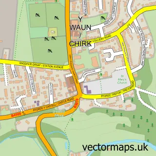
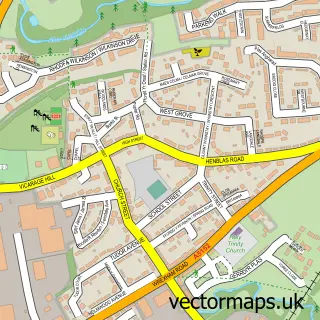
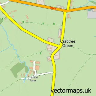
This Ponciau street map is a detailed vector street map covering a 750m x 750m area. Select a larger area to create and download your own vector street map of Ponciau.
The 750-metre map sample for Ponciau covers 462 mapped buildings and approximately 13.7 km of road detail, of which 40 named roads are named. The immediate area includes 1 GP surgery within 2 miles, 2 pubs and 1 MOT station, with 6 within 2 miles. The wider area around Ponciau features 2 food and drink venues. To create a larger or custom map of Ponciau, the map builder lets you define your own coverage area and download editable SVG, PDF and PNG files.
Create a larger editable map of Ponciau
Choose any area you need and generate a high-quality vector map instantly. Perfect for print, planning, design, business and personal use.

This Ponciau street map in Clwyd is available as downloadable SVG, PDF and PNG map files, or as a printed map for planning, business, display, education, local information and design work. You can also create a larger custom map area using the map selector.
What this Ponciau map sample shows
Ponciau lies within Rhosllanerchrugog Community parish, part of Johnstown ward in the Wrecsam - Wrexham local authority area. The postcode geography for this area includes the LL postcode area, the LL14 postcode district and the LL14 1 postcode sector. Residents fall under the Betsi Cadwaladr University Health Board for NHS services.
Local features near Ponciau
Within 2 milesAmenities and services in and around Ponciau.
Administrative and postcode information for Ponciau
Ponciau lies within Rhosllanerchrugog Community parish, part of Johnstown ward in the Wrecsam - Wrexham local authority area. The postcode geography for this area includes the LL postcode area, the LL14 postcode district and the LL14 1 postcode sector. Residents fall under the Betsi Cadwaladr University Health Board for NHS services.
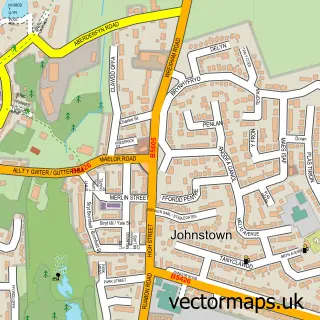
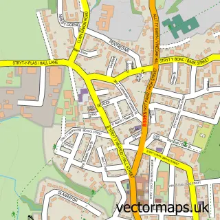
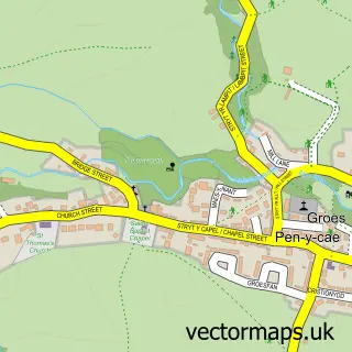
Nearby street map samples around Ponciau

More street maps in Clwyd
750 metre map area coverage
Boundary, postcode and point of interest information for the 750m x 750m rectangle centred on this sample map.
Boundaries containing map centre
Constituency: Montgomeryshire and Glyndwr Co Const
District: Wrecsam - Wrexham
Icb: Betsi Cadwaladr University
Parish: Rhosllanerchrugog Community
Police Force: north wales
Postcode District: LL14
Postcode Sector: LL14 1
Nearby boundaries intersecting sample
Parish: Esclusham Community
Postcode coverage
POI category counts
Automotive Repair: 2
Convenience Store: 2
International Business And Trade Services: 2
Package Locker: 2
Pub: 2
Tire Dealer And Repair: 2
Architect: 1
Atms: 1
Auto Body Shop: 1
Chemical Plant: 1
Sample points of interest
- Blueprint Architectural Services
- Snax 24 - Wrexham (SWAP), Johnstown
- CS Paint and Body Repair
- TTS Sales Service Repair Centre
- Wrights Garage
- Gee Gas
- SPAR - Rontec Wrexham
- SPAR Wrexham
- Ysgol Y Ponciau
- Recover Upholstery
- AKP Garage Doors
- Canolfan Gwaith Y Fflint | Flint Jobcentre
Create a larger editable map of Ponciau
This sample shows only a 750 metre area. To create a larger map of Ponciau, use our map builder to choose your own coverage area, add titles and download editable SVG, PDF and PNG files.
Create a custom map of Ponciau