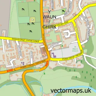
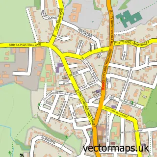
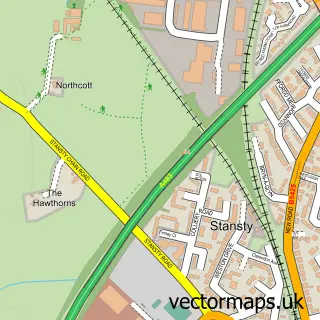
This Rhostyllen street map is a detailed vector street map covering a 750m x 750m area. Select a larger area to create and download your own vector street map of Rhostyllen.
The 750-metre map sample for Rhostyllen covers 508 mapped buildings and approximately 15.7 km of road detail, of which 42 named roads are named. The immediate area includes 1 school, 1 GP surgery, 2 pubs and 15 MOT stations within 2 miles. The wider area around Rhostyllen features 1 tourism point of interest and 2 food and drink venues. To create a larger or custom map of Rhostyllen, the map builder lets you define your own coverage area and download editable SVG, PDF and PNG files.
Create a larger editable map of Rhostyllen
Choose any area you need and generate a high-quality vector map instantly. Perfect for print, planning, design, business and personal use.

This Rhostyllen street map in Clwyd is available as downloadable SVG, PDF and PNG map files, or as a printed map for planning, business, display, education, local information and design work. You can also create a larger custom map area using the map selector.
What this Rhostyllen map sample shows
Rhostyllen lies within Esclusham Community parish, part of Esclusham ward in the Wrecsam - Wrexham local authority area. The postcode geography for this area includes the LL postcode area, the LL14 postcode district and the LL14 4 postcode sector. Residents fall under the Betsi Cadwaladr University Health Board for NHS services.
Local features near Rhostyllen
Within 2 milesAmenities and services in and around Rhostyllen.
Administrative and postcode information for Rhostyllen
Rhostyllen lies within Esclusham Community parish, part of Esclusham ward in the Wrecsam - Wrexham local authority area. The postcode geography for this area includes the LL postcode area, the LL14 postcode district and the LL14 4 postcode sector. Residents fall under the Betsi Cadwaladr University Health Board for NHS services.
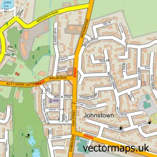
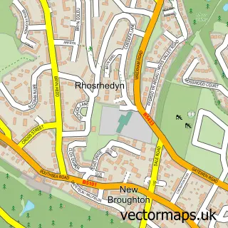
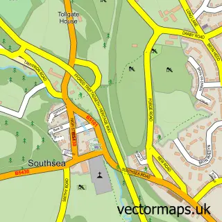
Nearby street map samples around Rhostyllen

More street maps in Clwyd
750 metre map area coverage
Boundary, postcode and point of interest information for the 750m x 750m rectangle centred on this sample map.
Boundaries containing map centre
Constituency: Montgomeryshire and Glyndwr Co Const
District: Wrecsam - Wrexham
Icb: Betsi Cadwaladr University
Parish: Esclusham Community
Police Force: north wales
Postcode District: LL14
Postcode Sector: LL14 4
Nearby boundaries intersecting sample
No additional intersecting boundaries found.
Postcode coverage
POI category counts
Automotive Repair: 5
Building Supply Store: 4
Drugstore: 3
Home Service: 3
Pharmacy: 3
Chinese Restaurant: 2
Convenience Store: 2
Doctor: 2
Plumbing: 2
Pub: 2
Sample points of interest
- Holy Trinity Church
- PayPoint
- Dickens Vauxhall Wrexham
- Imperial Commercials
- Motability Scheme at Dickens Vauxhall Wrexham
- Ray Williams
- Ray Williams Auto Repair
- Welsh MG Centre
- The High Street Barbers
- Headspa Wrexham
- Enchanted Hair and Beauty Unisex Salon
- The Old Black Horse
Create a larger editable map of Rhostyllen
This sample shows only a 750 metre area. To create a larger map of Rhostyllen, use our map builder to choose your own coverage area, add titles and download editable SVG, PDF and PNG files.
Create a custom map of Rhostyllen