This Peopleton street map is a detailed vector street map covering a 750m x 750m area. Select a larger area to create and download your own vector street map of Peopleton.
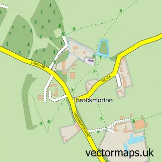
The 750-metre map sample for Peopleton covers 178 mapped buildings and approximately 18.8 km of road detail, of which 7 named roads are named. The immediate area includes 1 school, 1 pub and 3 MOT stations within 2 miles. The wider area around Peopleton features 2 tourism points of interest and 1 food and drink venue. To create a larger or custom map of Peopleton, the map builder lets you define your own coverage area and download editable SVG, PDF and PNG files.
Create a larger editable map of Peopleton
Choose any area you need and generate a high-quality vector map instantly. Perfect for print, planning, design, business and personal use.

This Peopleton street map in Worcestershire is available as downloadable SVG, PDF and PNG map files, or as a printed map for planning, business, display, education, local information and design work. You can also create a larger custom map area using the map selector.
What this Peopleton map sample shows
Peopleton lies within Peopleton Cp parish, part of Upton Snodsbury ward in the Wychavon District local authority area. The postcode geography for this area includes the WR postcode area, the WR10 postcode district and the WR10 2 postcode sector. Residents fall under the Nhs Herefordshire And Worcestershire Integrated Care Board for NHS services.
Local features near Peopleton
Within 2 milesAmenities and services in and around Peopleton.
Administrative and postcode information for Peopleton
Peopleton lies within Peopleton Cp parish, part of Upton Snodsbury ward in the Wychavon District local authority area. The postcode geography for this area includes the WR postcode area, the WR10 postcode district and the WR10 2 postcode sector. Residents fall under the Nhs Herefordshire And Worcestershire Integrated Care Board for NHS services.
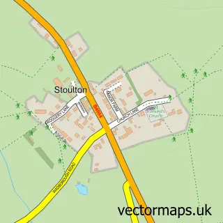
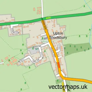
Nearby street map samples around Peopleton

More street maps in Worcestershire
750 metre map area coverage
Boundary, postcode and point of interest information for the 750m x 750m rectangle centred on this sample map.
Boundaries containing map centre
Constituency: Droitwich and Evesham Co Const
County: Worcestershire County
District: Wychavon District
Icb: NHS Herefordshire and Worcestershire ICB
Parish: Peopleton CP
Police Force: west mercia
Postcode District: WR10
Postcode Sector: WR10 2
Ward: Upton Snodsbury Ward
Nearby boundaries intersecting sample
Parish: Stoulton CP
Postcode coverage
POI category counts
Grocery Store: 2
Landmark And Historical Building: 2
Anglican Church: 1
Computer Hardware Company: 1
Eat And Drink: 1
Educational Camp: 1
Elementary School: 1
Forestry Service: 1
Gardener: 1
Health And Medical: 1
Sample points of interest
- St Nicholas, Peopleton
- Worlocks
- Peopleton Press Cider
- Apex Activities
- Bowbrook House School
- P M & D C Lewis
- Elite Garden Services
- The Pantry At Peopleton
- The Pantry at Peopleton
- Alex Rulon-miller
- Hallgarth Farm Holiday Lodge
- C R Decorating
Create a larger editable map of Peopleton
This sample shows only a 750 metre area. To create a larger map of Peopleton, use our map builder to choose your own coverage area, add titles and download editable SVG, PDF and PNG files.
Create a custom map of Peopleton